Thursday, January 20, 2000
Good evening from Monticello, Utah!
With the "cello" pronounced as in cellophane, this small town
resides between Moab and Blanding
Utah, near the eastern border with
Colorado. It is said that the name of this town is derived from Thomas
Jefferson's Virginia home, which pronounces the "cello" as in the
stringed instrument. I have no explanation for that!
Anyway, today is the second day in a row I found myself in a motel room
without internet access due to digital lines! The person at the front desk
said they allow customers to use their analog fax line. Hum, sounds an
awful lot like I used to do at IBM! I will try to upload the page tonight.
While I am still a bit apprehensive about the car, I am making
progress. I, of course, hear sounds and feel the car doing things it did
not do before. Right...Sure!!! What tricks the mind can play!
I was feeling much better by the end of the day, and I shall continue with my
travel plans.
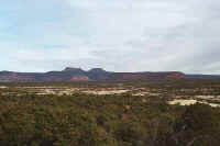
It was a wonderful day of touring, as I saw so many different facets of
Utah. I awoke before dawn and began my drive east on Route
24, classified
as a Scenic Byway in Utah. I entered the Capitol Reef National Park as the
sun was rising. Though there were some clouds in the area, it was another
beautiful sunrise. Capitol Reef was given this name by early explorers due
to the rock towers that resembled capitol buildings, and since many of these
explorers used to command ships, the rocks were like reefs, protecting the shore
behind them. A scenic drive that follows the original road goes through
the park. It stops at a very narrow canyon. Many portions of the
road become a stream crossing. Fortunately, since there was no rain, the
beds were dry I did not have to ford any streams. However, there are
warning signs for areas that are subjected to flash flooding. The road
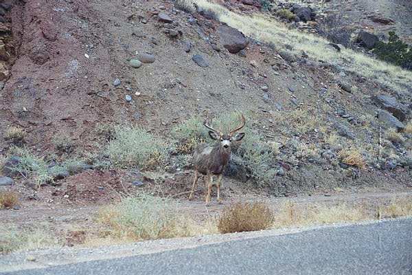
meanders along the base of the canyon, and on several occasions I saw
mule deer,
including quite a few bucks. I also only saw one other car along this nine
mile drive. It was very peaceful.
Returning to Route 24, I turned east to continue my tour. A few miles
down the road was an exhibit of petroglyphs. I stopped and read the
informational panels, then walked along the path to view the petroglyphs.
Some of these were made during a time around the year 1000 by the Fremont
Indians. They were given this name because of the proximity of the Fremont
river nearby. John C. Fremont explored the area, and the river was
named after him. What has been interesting during my trip is that I have
noticed John Fremont has been mentioned in many areas along my route. The
city of Fremont California, where I left from, is named after him. Where
shall I see his name again?
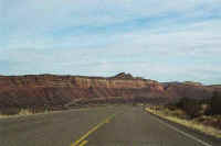
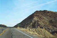
I resumed my trip by continuing east on Route 24,and then east on Route 95,
known as the Bicentennial
Highway. Along this route, I went through the
Glen Canyon National Recreation Area, got to view Lake
Powell, see where the old
town of Hite, Utah was before they filled Lake Powell and covered it, and
I was able to see the Colorado River. The overlooks and pullouts along
this portion of the route were incredible!
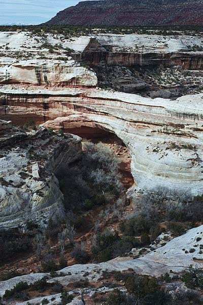
My next touring stop was the Natural Bridges National
Monument. This is
the location of three large natural bridges, and there is a nine mile scenic
drive to view them. These are not to be confused with arches, which I hope
to see tomorrow at the Arches National Park. The story goes that if a hole
in a rock is opened by water, and continues to grow because of water flowing
through it, it is classified as a "Bridge." If the opening in
the rock is created by other elements such as a continuous freeze-thaw cycle,
like the Hoodoos in Bryce Canyon, then it is classified as an
"Arch." There is a third option, whereas a rock has an opening
that is squared off, then it is call a "Window." Hopefully I
will learn more about "Windows" tomorrow.
The views along the scenic drive are unbelievable. The weathering and
erosion of the rocks is a sight to see. Also, many years ago, Indians
settled in the area and along the groves on the side of the cliffs. I took
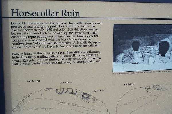
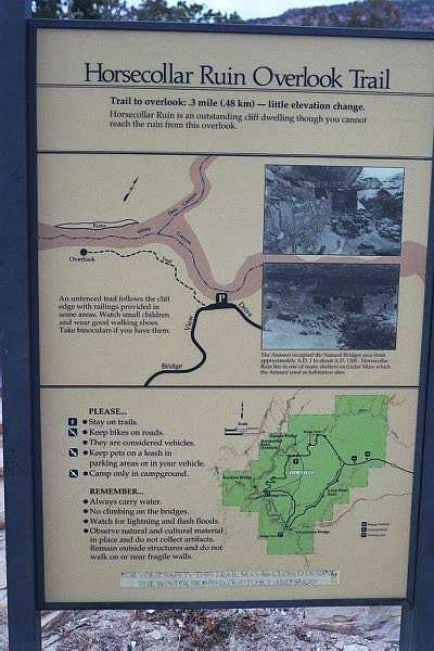
a trail to view the "Horsecollar
Ruin." People are not permitted
close access due to the many artifacts remaining, but an impressive view can be
seen. A short drive down the road to the third natural bridge allows
access to a trail that permits a hike to the bottom of the arch. It was
impressive to see it from below!
After completing my tour of Natural
Bridges, I decided to do a very
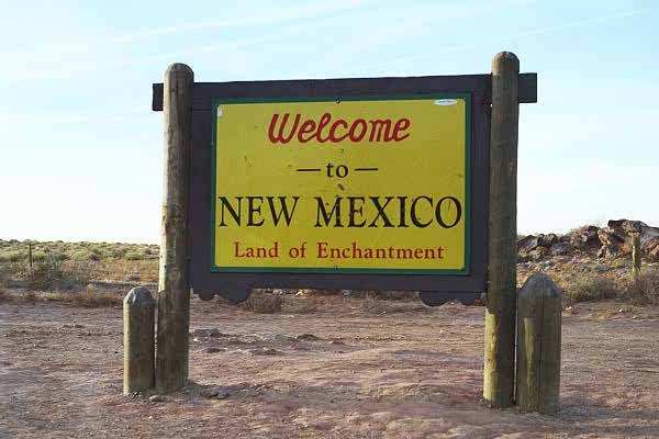
"touristy" thing. I ended up being in Utah, Colorado, New
Mexico, and Arizona, all at the same time! Yes, I went to the Four Corners
Monument, the only location in the country where four states meet at one
point. Actually, it was an interesting
site, and I met a couple from
Illinois, and they also stood in all four states. And they kind enough to
take a picture
with my camera, just to prove I was there! Kind of a unique place,
somewhat touristy, located
on an Indian Reservation.
Finally, I drove back into Utah as I was going to position myself to go to
Arches National Park tomorrow. Now I am in Monticello, and after watching
some of the lunar eclipse, I have finished my daily commentary and will proceed to the front
desk to upload.
Routes traveled today: Utah 24 - 95 - 275 - 95 - 191 - 262 - Colorado 41 -
160 - New Mexico 597 - Colorado 160 - 41 - Utah 262 - 191
Quite an eventful day...Thanks for viewing my story...Tomorrow, if the
forecasted snow is light, I will write again from Colorado...Igor
Other links:
Natural Bridges National
Monument - Southern Utah Tourist Information Site
Hotel: Days Inn
Gas: $1.64
Click on picture to get enlarged
view:
|
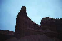
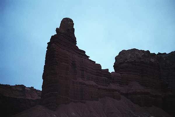
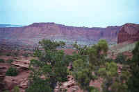
Near the entrance to Capitol Reef, before sunrise.
|
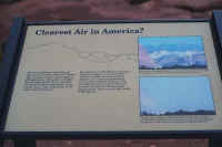
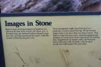
A tablet describing that the Colorado Plateau, which contains this
park, has the best visibility in the lower 48 states.
|
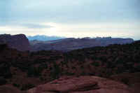
A view to snow capped mountains in the distance.
|
|
A trail near the entrance road takes you up a hill the get a better
view of the area.
|
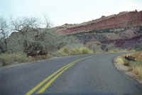
Mule Deer along the road in the park. This view is looking south.
|

An area that has warnings to avoid during rain. Several times you
ford dry stream beds, waiting for the rainfall to block the road.
|
|
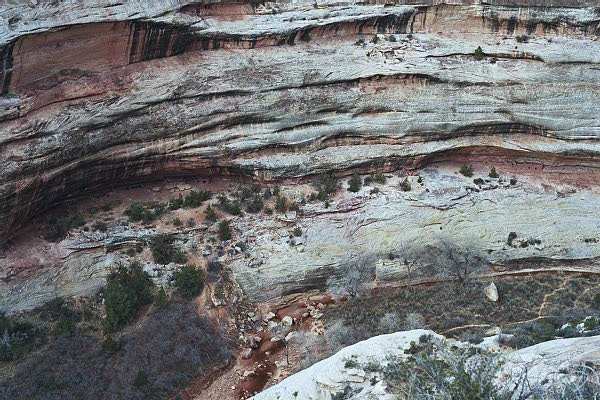
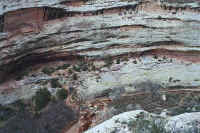
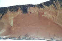
Notice the several layers in the rock.
|

Another mule deer looking to see what is disturbing his peace!
|
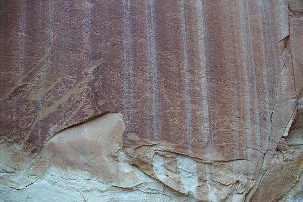
East of the park, another petroglyph site.
|
|
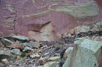
Not as easy to see as previous sites, look along the top center towards
the left.
|
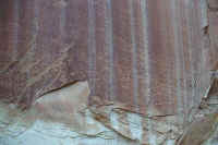
More visible in this picture.
|
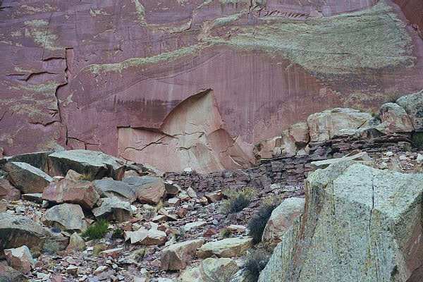
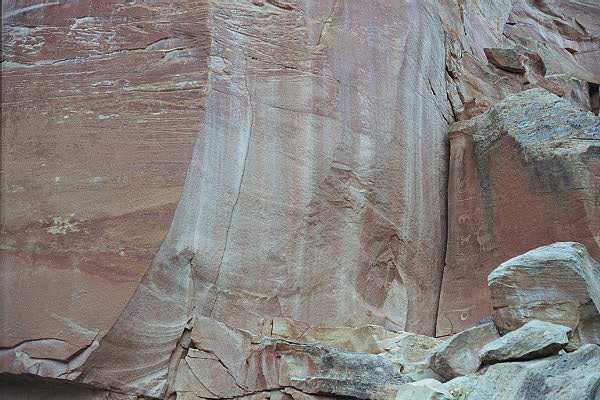
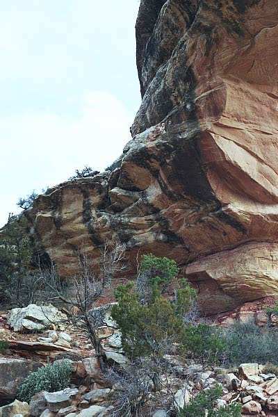
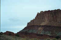
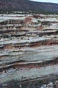
Interesting rock face.
|
|
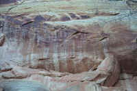
A few more visible drawings.
|
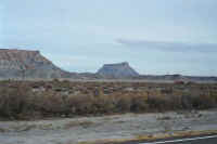
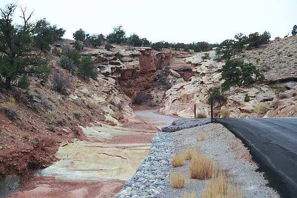
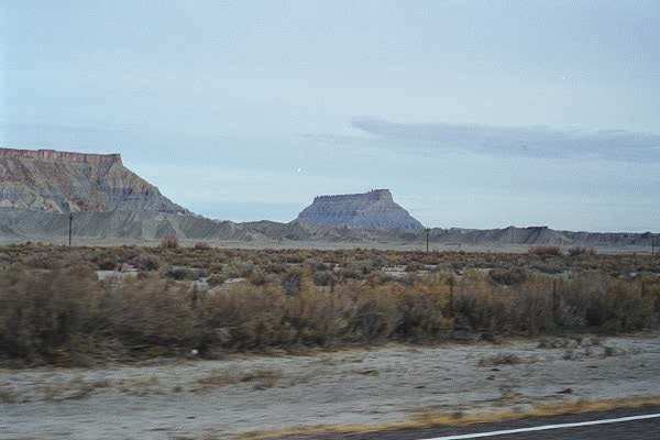
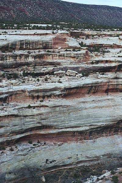
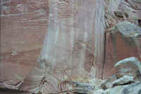
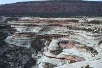
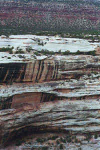
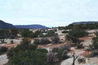
Many interesting geological features as I traveled south-east towards
Lake Powell.
|
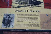
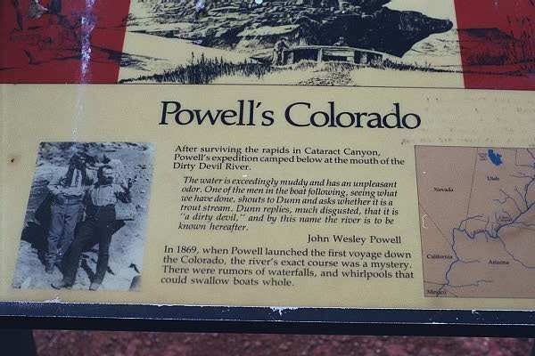
Description of a site visited by John Powell.
|
|
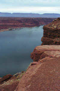
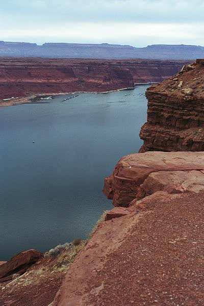
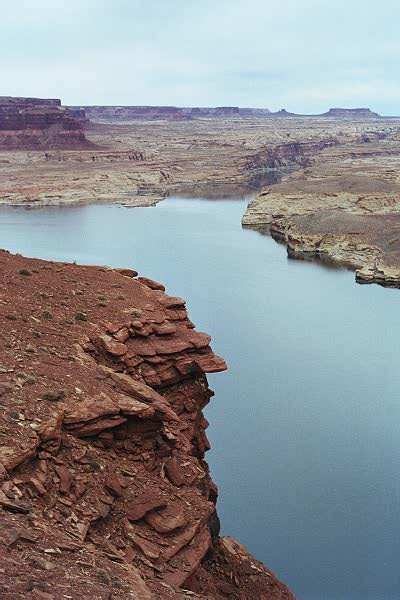
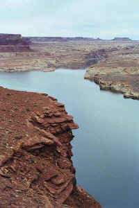
Lake Powell, with beautiful rock cliffs.
|
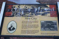
A tablet describing the former Hite City.
|
Hite City was up and to the right, now covered by the lake.
|
|
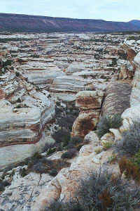
Another view as I head towards Natural Bridges.
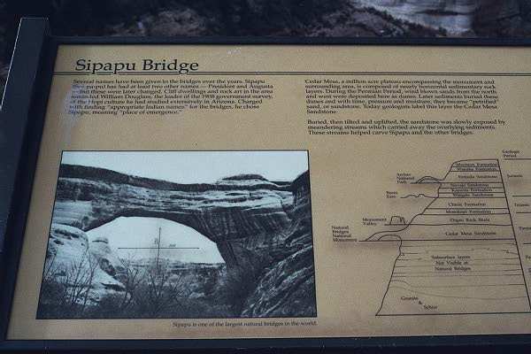
|
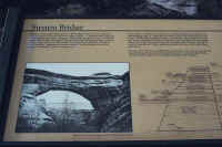
A tablet describing the first natural bridge you see as you take a
loop road through the park.
|
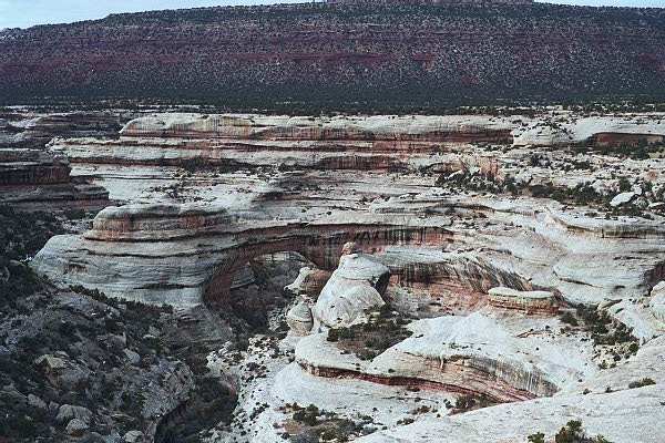
Sipapu Bridge just left of center.
|
|
Another view of the Sipapu Bridge.
|
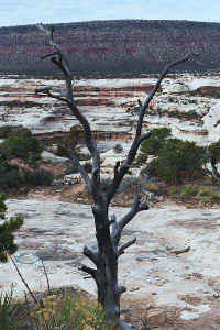
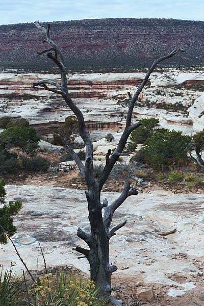
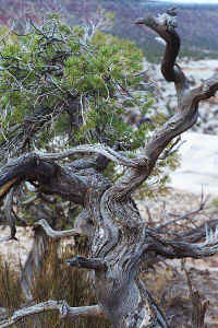
Taking a trail the Horsecollar Ruin overlook, I noticed this
tree.
|
Another view of Sipapu Bridge.
|
|
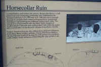
Description of Horsecollar Ruin
|
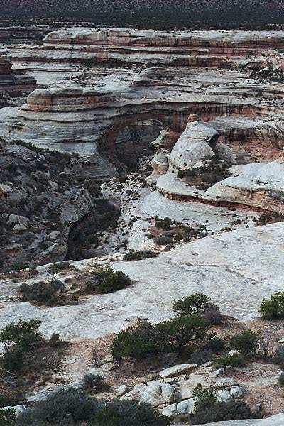
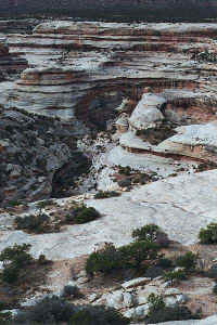
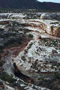
The ruins, along the center of the picture.
|
A view above the ruins, with the ruins at the bottom of the
picture.
|
|
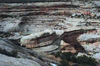
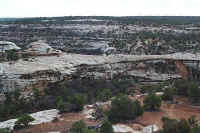
Along the trail from the ruins.
|
Another view of the forces of nature.
|
An interesting trunk along the trail.
|
|
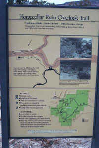
Description of the trail.
|

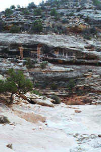
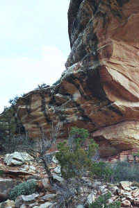
The Kachina Bridge, looking north.
|
Looking left (to the west) of Kachina Bridge.
|
|
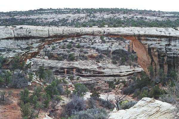
A view of the Owachomo ridge.
|
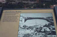
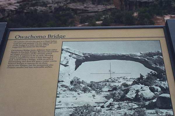
Panel describing the bridge.
|
A view along the trail I took to Owachomo Bridge.
|
|

Another view of the bridge as I approach it.
|
Looking up at the interesting
rock surface!
|

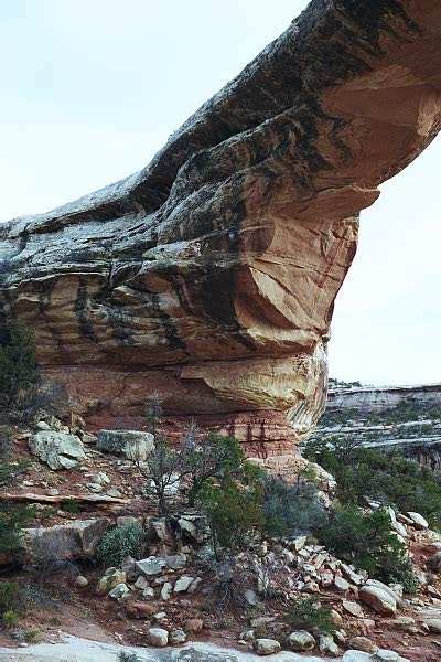
The south leg.
|
|
This is the view from directly underneath the bridge, looking
"downstream."
|
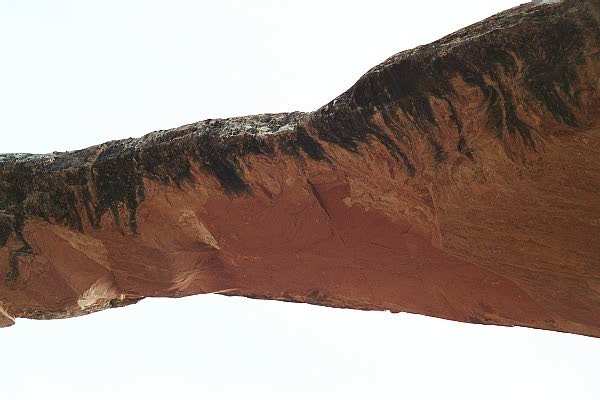
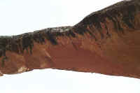
Another interesting surface shot of the underside. Notice the cuts
in the rock!
|
Another view of the south support of the bridge.
|
|
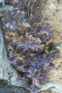
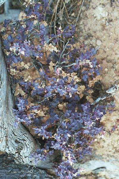
A small plant beside the trail.
|
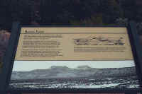
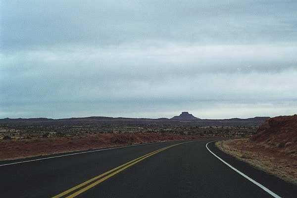
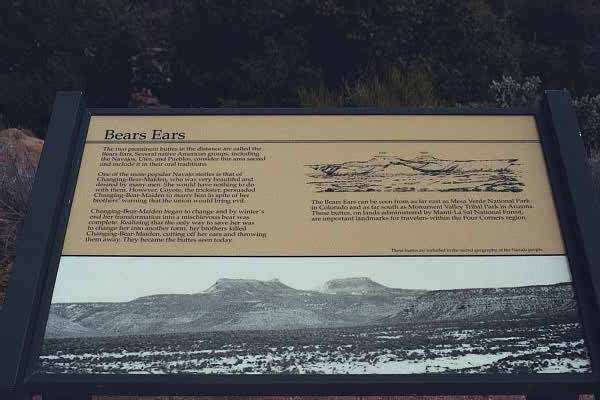
A tablet describing Bears Ears, an important part of Navajo mythology.
|
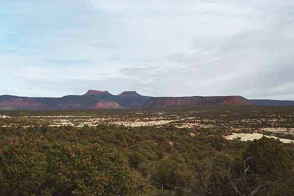
The Bear's Ears seen in the
distance.
|
|
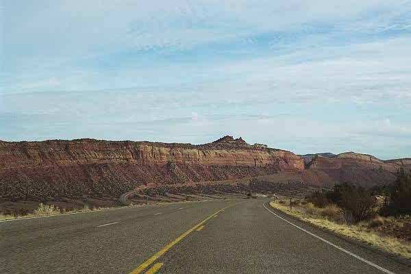
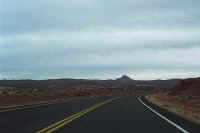
A fun road to drive, and you can follow most of it to the gap to the right
of center.
|
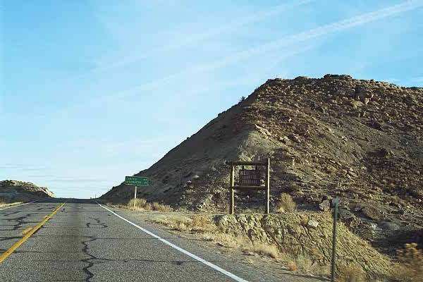
"Welcome to Beautiful Colorado" sign on my way to Four Corners.
|
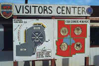
Panel at the visitor's center of the Four Corners Monument.
|
|
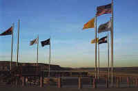
The corners, located on a
Navajo Reservation. The platform on the left is to allow for
pictures of the site, as you see to the right!
|

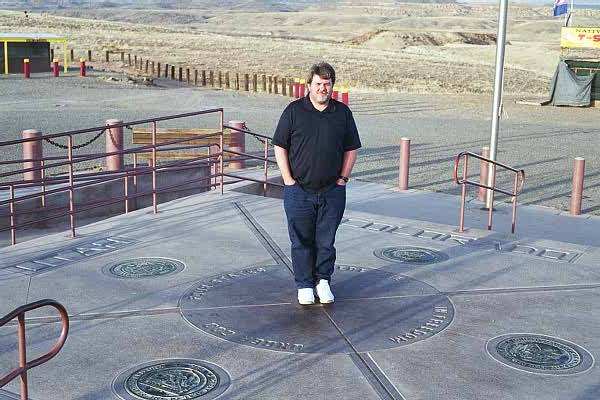
This is another visitor of the site that was nice enough to take a
picture....
|

...of me standing in four states simultaneously! (No comments,
please!)
|
|
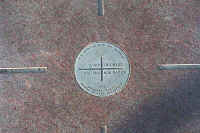
The actual survey marker of the point where they states meet.
|
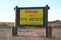
I actually traveled through New Mexico to get to the site.
|
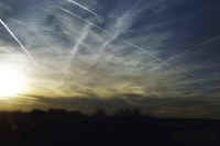
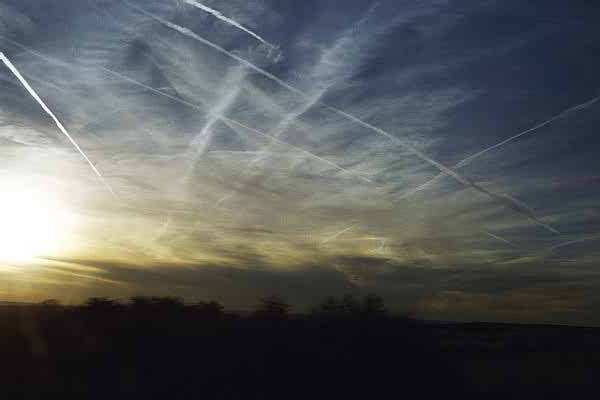
My parting shot of the day, a very interesting sky!
|

This page
accessed  times since January 1, 2001.
Page
created by: igorn@igorn.com
Copyright
© 2001 Igor N. Nikishin
All
Rights Reserved
Pictures
may be used with permission.