Friday, January 7, 2000
Hello from Lone Pine, California!
Thanks for checking into the site! I finally had a few minutes to
create and upload the page. It will not be fancy, unless I get a local
connection and time to be creative. I do not want to spend too much time
on the 1-800 backup number!
I am starting the story with today's info, but should be able to catch up
with earlier info soon. (This is the first page I issued from the
road-INN)
01/07/2000
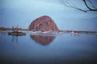
- This morning, before continuing my journey, I stopped at the breakwater
in Morro Bay by Otter
Rock, a rock formation that is very dominant along the sea
coast. I was able to walk out towards the edge where it was amazing to see
the power of the ocean as the waves crashed along the break. After
returning to my car, I was able to pick up a program from a radio station in
Santa Cruz (KSCO) that I listened to every morning during my drive into
work. I thought I would give them a call just to say thanks for the
entertainment (you know me...Master Bullshitter!) They asked if I would
like to speak with them "On The Air", and I said yes. Just a short
conversation about my trip and expressing my thanks for their show. I also
mentioned I would listen to them via the web in Maine. They joked that I
should call in when I get there with weather reports (right up my alley!)
They said ski reports would be nice, too! Anyway, it was an nice conversation.
My
routes today were as follows: Route 41 - Route
46 - Route 65 - Route
178 - Route 14 - Route
395
It
was a beautiful drive through many different areas and a great example of the
diversity of the California landscape. I also have been stopping at the
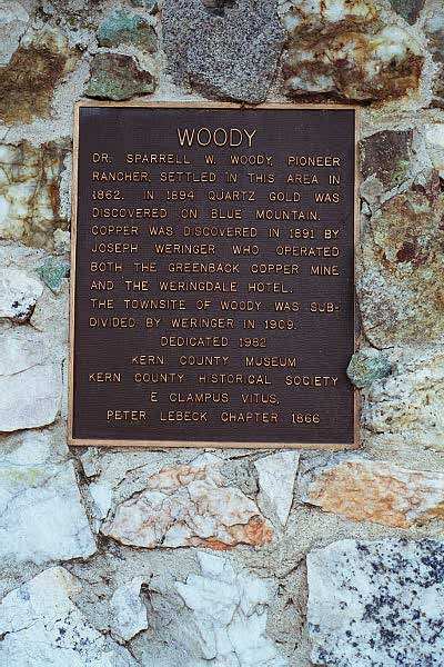
historical markers along the roadside. Another very interesting part of
the drive.
I
am spending tonight in Lone Pine, a small community on
Route 395 south of
Bishop, Ca. This is a beautiful road that follows along the eastern side
of the Sierras. You may not have heard of this town located next to the
Alabama Hills, but it is the location of the access road to Mount Whitney.
You probably have seen this area without realizing it. Many movies,
primarily Westerns, have been filmed here! See:
Internet
Movie Data Base - Alabama Hills Lone Pine and IMDB
- Lone Pine
for
the list of films and television shows! Interestingly, even Star Trek
Generations and The Final Frontier used the area!
Tomorrow...I am heading to the lowest geographical
surface point in the Western Hemisphere in Death Valley. I may even make
it to Nevada for my overnight! After that, it is Route 50 East to Topeka,
Kansas, then North on Route 77 to Lincoln Nebraska, then East on Route 30 to
Canton, Ohio. After that, we shall see...
Lodging - Best
Western Frontier Motel
Fuel - $1.72
Click on picture to get enlarged
view:

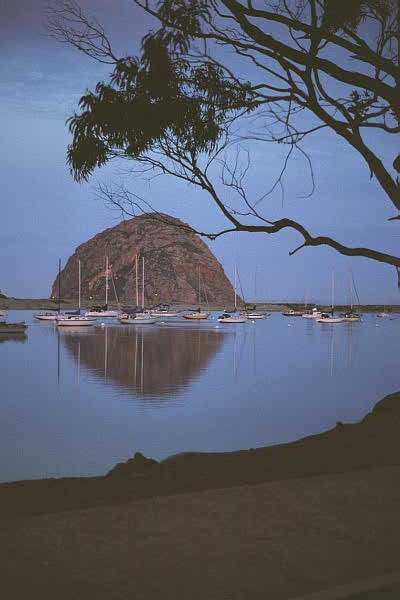
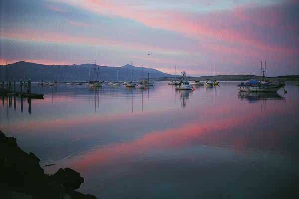
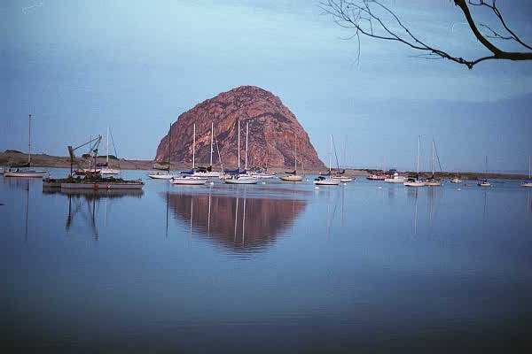
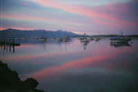
Morro Bay, Ca.
looking West, at sunrise
|
Morro Bay, Ca.
looking South, at sunrise
|
Morro Bay, Ca.
looking West again
|
|
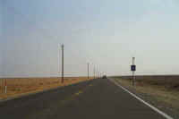
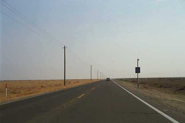
Route 46 East in Ca.
My first flat, straight road |
Route 46 East in Ca.
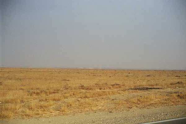
with a dust storm in the distance obscuring the view |
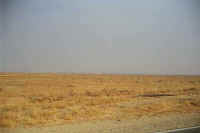
Along Route 155 North of Bakersfield, Ca.
|
|
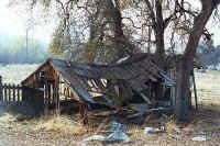
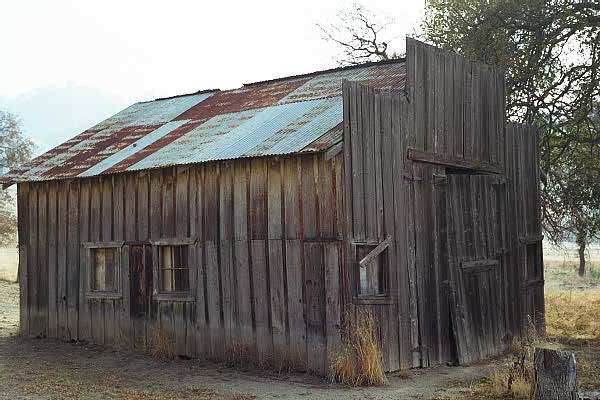
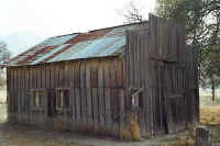
Old structure and tree along Route 155 in California |
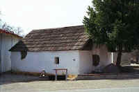
Along Route 155 in California, across the road from
the previous picture
|
Further East on Route 155
|
|
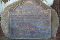
The Glennville Adobe |
Route 155 East, my first sight of snow! |
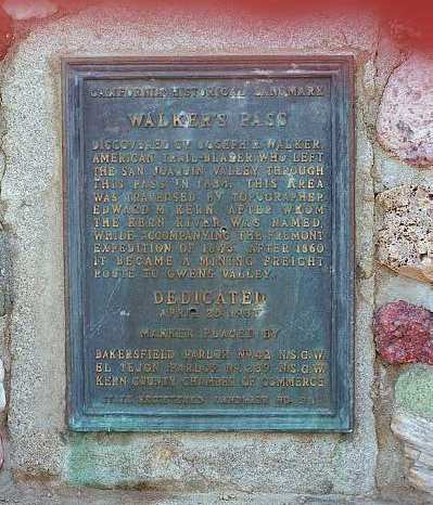
Walker's Pass on Route 178, East of Isabella Lake. El. 5250'
|
|
Looking East on Route 178 from Walker's Pass |
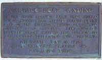
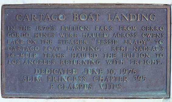
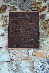
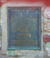
A historic marker along Route 395,
north of Ridgecrest Ca. |

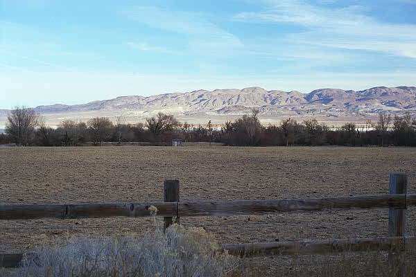
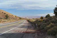
Route 395 looking East at Owens Valley |

This page
accessed  times since January 1, 2001.
Page
created by: igorn@igorn.com
Copyright
© 2001 Igor N. Nikishin
All
Rights Reserved
Pictures
may be used with permission.