Weather: Beautiful sunrise, some
clouds moving in,
temperature 34 degrees F.
Today was spent visiting some areas I
have seen before, and new sights I have wanted to see since the first time I
vacationed in this area. It was a nice day, and in the end, I decided to
camp in Death Valley. The night sky was a bit cloudy, but the waning moon
was very bright.
-
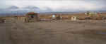
Visited the Alabama Hills to see
the interesting rock formations. Saw some interesting houses, and
watched as five large trucks brought pieces of a building up to the
area. New home or movie set???
-
There is much sage throughout the
area, and the scent was very strong in the air.
-
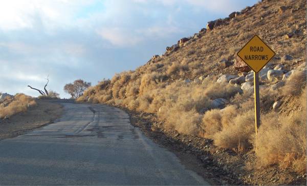
Decided to drive north on Route
395 a few miles to Big Pine head east, then enter Death Valley along a route
new to me.
-
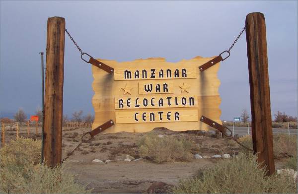
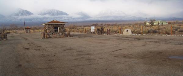
North of Lone Pine I stopped at
the Manzanar War Relocation Center. A National Historic Park in in the
works for this center. Since my last visit in February, it looks like
only fences and a sign have been added.
-
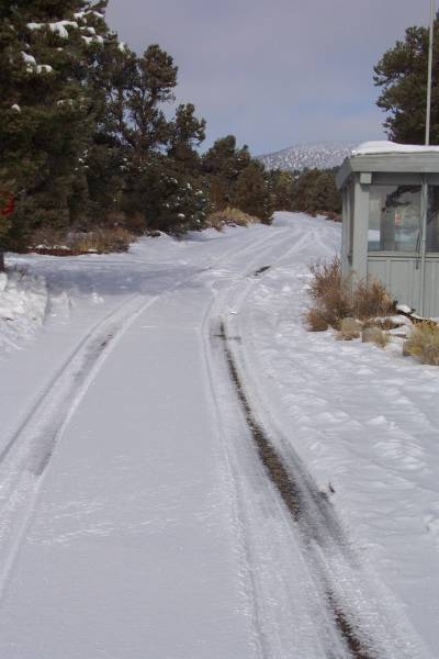
In Big Pine, I turned east onto
Route 168. This road leads to the Bristlecone Forest, the location of
some of the oldest living trees on the planet! I have visited here
before, and a link to pictures from that visit can be reached via a link
from my home page. The road inside
the park was snow covered and closed, so I would not be able to visit the
trees today.
-
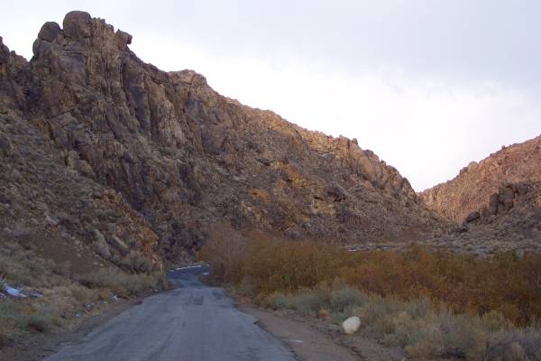
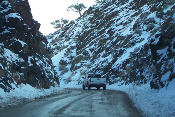
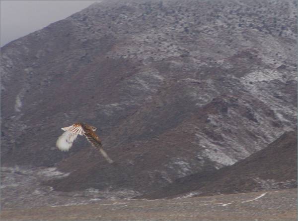
Heading east on Route 168, I
drove along a roller coaster like road, with many hills and curves.
This led me into Nevada, where long stretches of straight road were
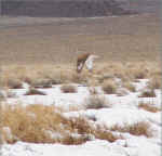
present. I even saw a golden eagle along the road!
-
At the intersection of Route 266
and 95, there was no town. However, a business called the
"Cottontail Ranch" was there with a sign indicating "Always
Open." It took me a few minutes to understand it! Sometimes
I do not figure things out too quickly!!!
-
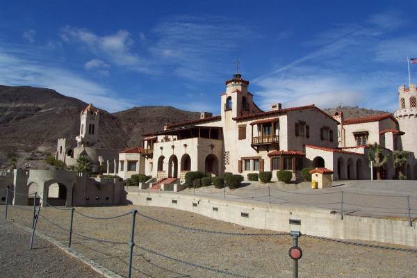
My first stop in the park was
Scotty's Castle. built in the 1920s and 30s. Ranger Amy at the
exhibition building suggested I take a guided tour of the house, so I joined
Ranger Steve for his 1939 costumed tour of the home. Quite an
interesting building and tour!
-
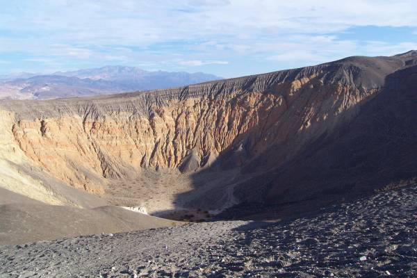
My next stop in the park was the
Ubehebe Crater, a massive crater west of Scotty's Castle. The
explosion that created this basin must have been incredibly large!
-
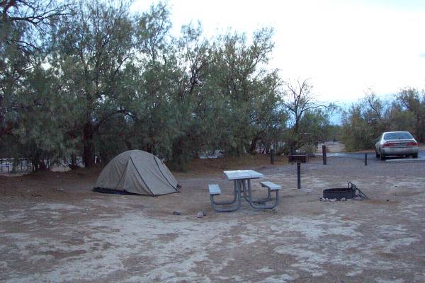
Finally, I stopped at the Furnace
Creek area, got a camping site, then drove around a bit until dinner.
-
Ranger Charlie had an evening
presentation, a talk and slide show about the wilderness aspect of the
park. Very interesting!
|
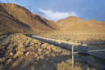
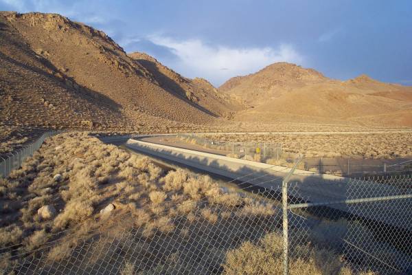
The California Aqueduct,
transporting water to Los Angeles.
|
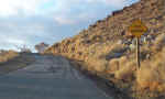
The road leading into the Alabama
Hills.
|
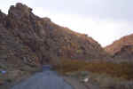
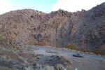
Beautiful and interesting rock
formations are located throughout the hills.
|
|
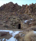
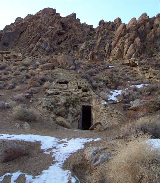
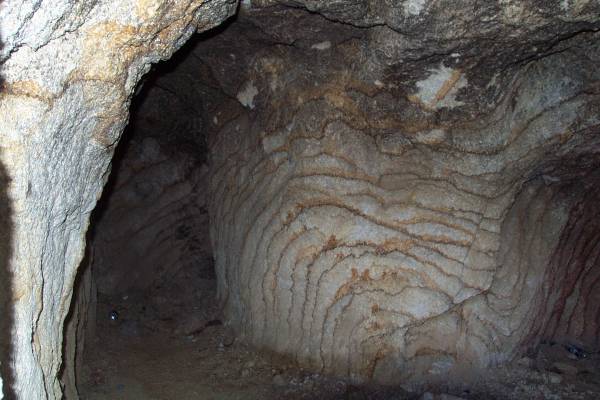
An old mine entrance...
|
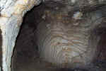
...Looking into the mine.
|
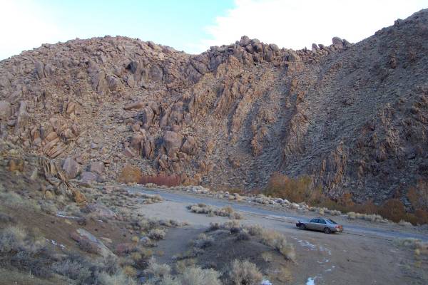
To gain perspective, my car
parked at the base of the hill with the mine.
|
|
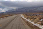
In the distance, the road leading
to Horseshoe Meadows can be seen headed up the mountain.
|
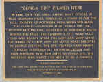
A plaque describing Gunga Din
being filmed here.
|

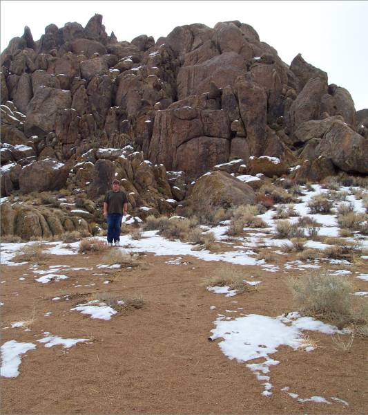
Me standing to the left of the
plaque.
|
|
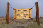
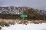
The new sign for Manzanar.
|
All that is left are two guard
houses and the gymnasium/auditorium.
|
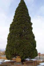 
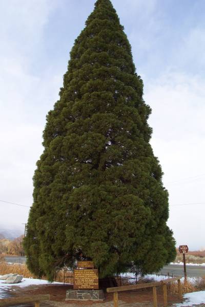
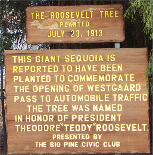
This tree, with the sign below,
at the intersection of Routes 168 and 395.
|
|

Route 168 as it heads up towards
the Bristlecone Pine Forest access road.
|

The access road to the
Bristlecone Pines, snow-covered and closed.
|
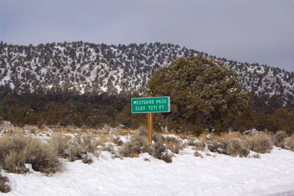
Westgard Pass, as Route 168
travels through.
|
|

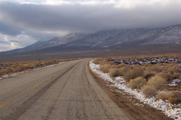
Seeing my road in the valley.
|
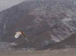
A golden eagle in flight.
|
Another picture of the eagle.
|
|
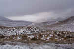
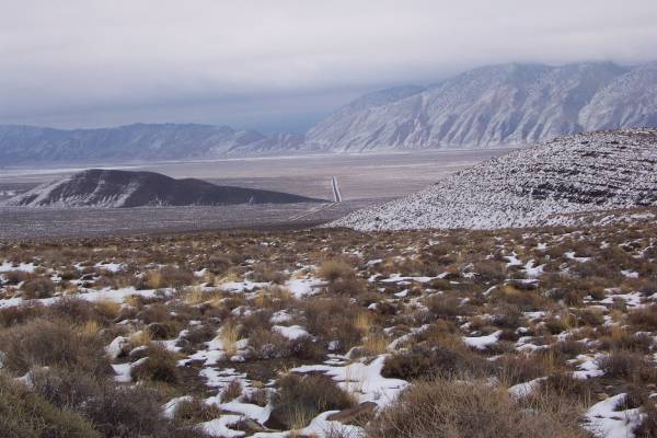
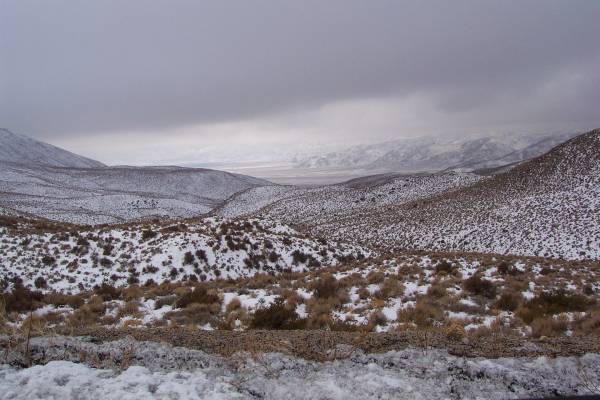
Snow covered mountains leading
towards another valley.
|
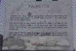
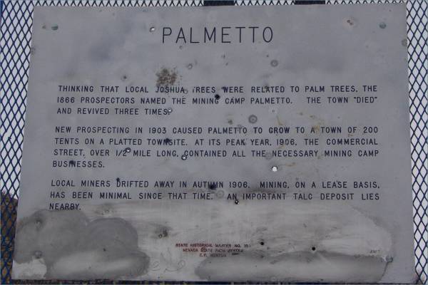
The story of the structure in the
next picture.
|
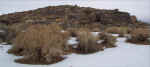
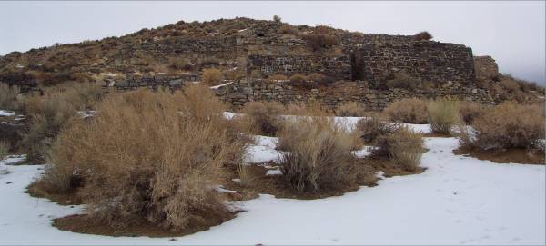
Walls can be seen against the
hill.
|
|
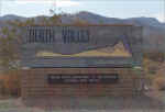
The entrance to Death Valley.
|

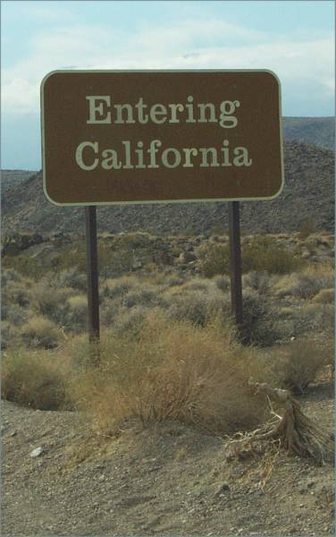
Returning to California.
|
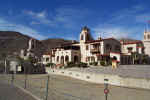
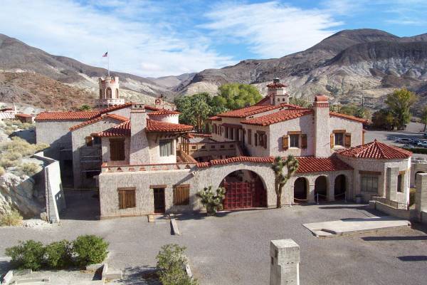
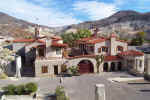
Scotty's Castle, looking
northwest.
|
|

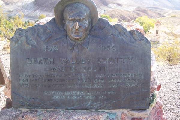
Walter Scott is buried on top of
a hill behind and overlooking the castle.
|

Scotty's gravesite.
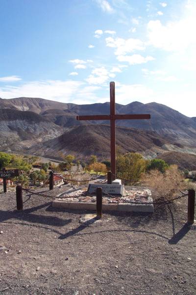
|
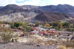
Looking at the castle facility
from the grave hill.
|
|
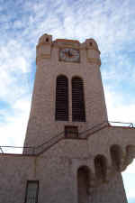
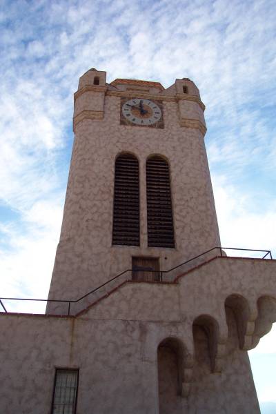
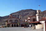
The clock tower.
|
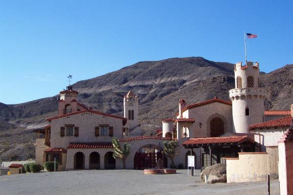
The castle. looking east from the
tower.
|
One more exterior view, looking west.
|
|
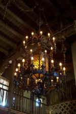
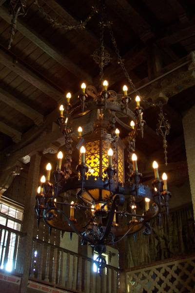
Inside the castle, the main room
has a beautiful chandelier.
|
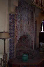
This was a water fountain used to
help cool the room.
|
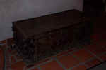
An old chest constructed in the
late 1400s!
|
|
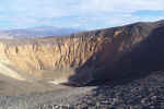
Ubehebe crater, a breathtaking
sight!
|
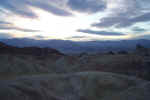
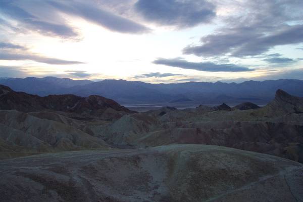
A view over the valley after
sunset.
|
|
Tomorrow I finish my tour of the park, then head
south. A storm is in the forecast, so I need to get out of the mountains
before the heavy snow! Thank you for visiting!
Routes traveled today: US 395 - Alabama Hills - US 395 - Ca 168 - Ca 266 -
Nevada 266 - US 95 - Nv 267 -North Road - Ca 178 - Ca 190