Start time: 0745
Start odometer: 26916
Weather: Partly sunny, temperature 44 degrees F.
I am back on my favorite highway in California, Route 395! Tonight I find myself in Lone Pine again, a town I have visited several times before. West of Lone Pine are the Alabama Hills, an area of interesting rock formations and high prairie lands that have been used as locations for at least 269 movies and television productions! See the list at the Internet Movie Data Base.
Highlights:
Pretty sunrise through the clouds.
Traveled through the Shenandoah Valley in the western foothills of the Sierra Nevada mountains, pretty scenery.
Hit snow as I drove to higher elevations, but road was in great shape. Many beautiful sights to see with snow covered mountains.
Nice conversation with Ranger at the Mono Lake Visitor Center, learned more about Mono.
Drove into Lee Vining, stopped across the street from the Mono Lake Committee (similar to a Chamber of Commerce) office where I know of a web cam. Called my sister in Connecticut and had her get on the internet and pull up the Lee Vining site. Got to wave at my sister across the country! Love those web cams!
Drove a few miles south, then east of Lee Vining, to see the Tufas, columns of mineral deposits formed underwater in Lake Mono. The water level has dropped, and trails have been created to allow the visitor to get a close look. Will explain more later.
Found myself driving past sunset, had some very interesting scenes due to the full moon light.
Listened to an AM radio station out of Los Angeles playing a tribute to George Harrison. Just like the original airplay they got, on AM!
Click on picture for larger image, hit back button to return to this page.
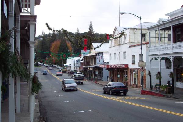
Main Street, Sutter Creek, California. |
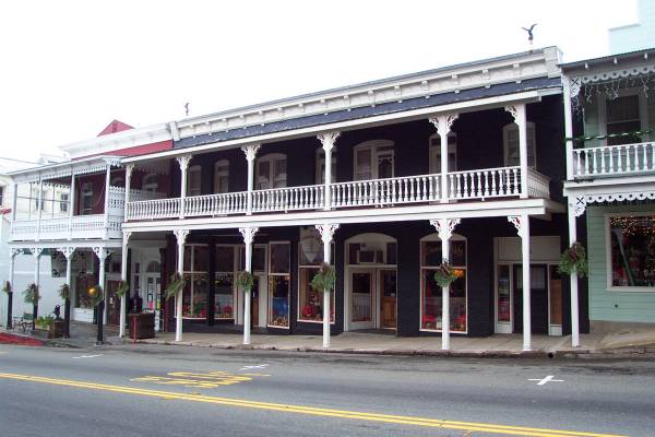
A shop in Sutter Creek. Note the covered sidewalk, which continued along the street. |
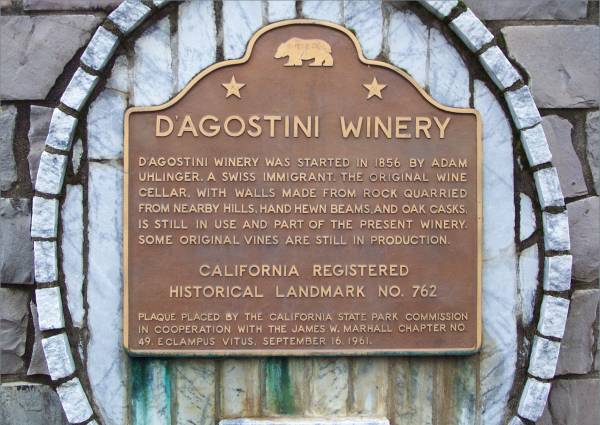
Historical marker about a winery started in 1856. |
Sobon Estates, currently residing on the grounds of the D'Agostini Winery. |
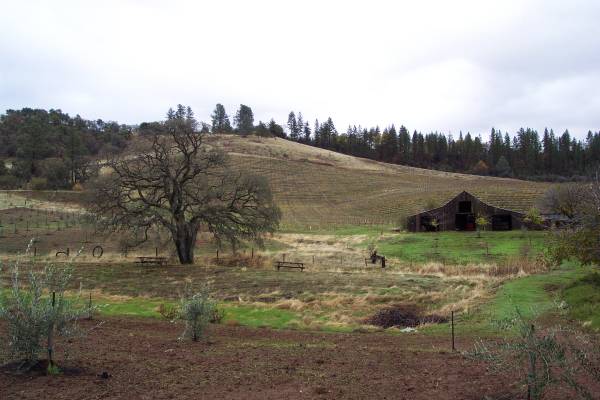
The grounds of Sobon. |
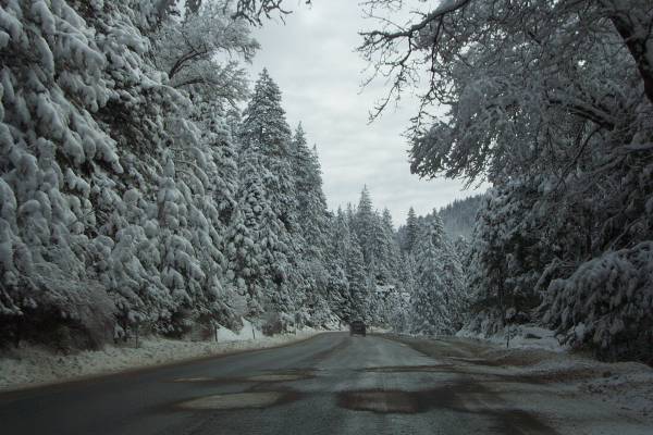
Route 50, closed to tire chained vehicles only the previous night, was opened for all vehicles this morning. |
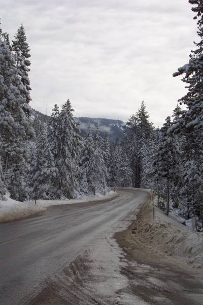
Another view of Route 50. |
The recent snow created beautiful images along the road. |
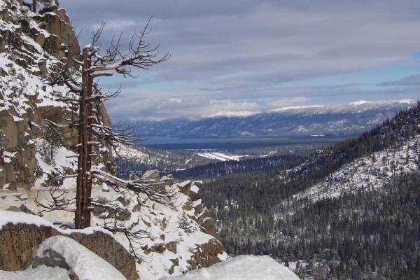
From an overlook to the south, Lake Tahoe is visible in the distance. |
Me, in the way of the beautiful view of Lake Tahoe! |
Below, a close up of the monument. 
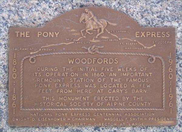
Along Route 88, this plaque indicates how this area played an important part of the Pony Express. |
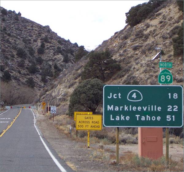
Signs help me decide which roads to take (or not to take!) |
Heading east towards Route 395, my favorite road in California. |
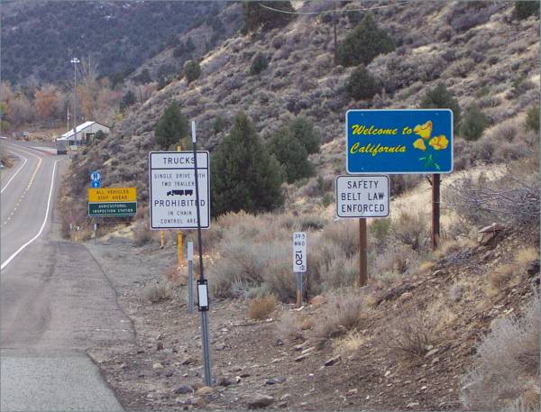
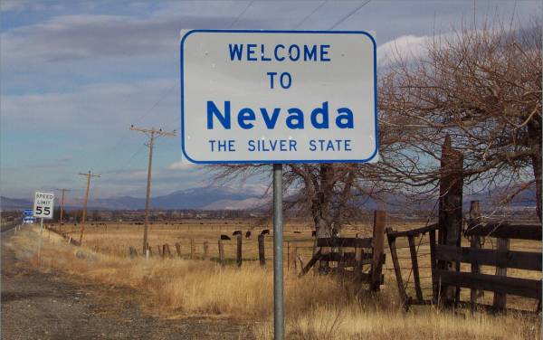
Once on Route 395, I headed south, returning to California |
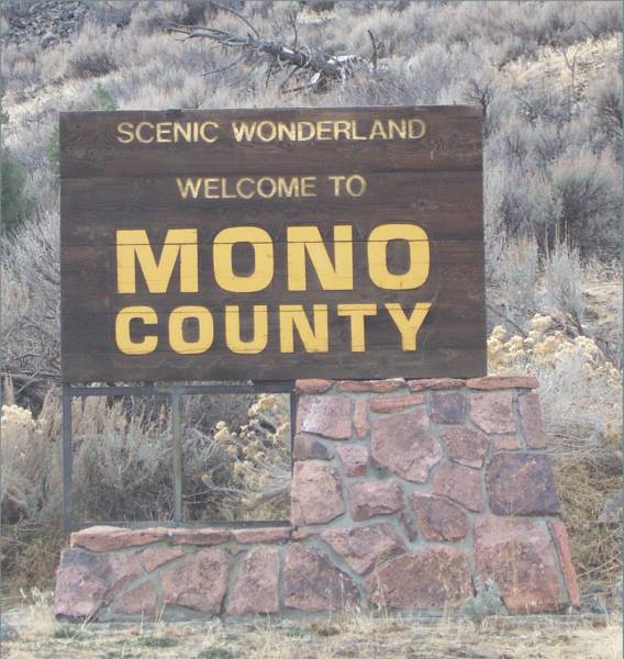
Entering Mono County, a great place to visit. |
Another sign to direct me! |
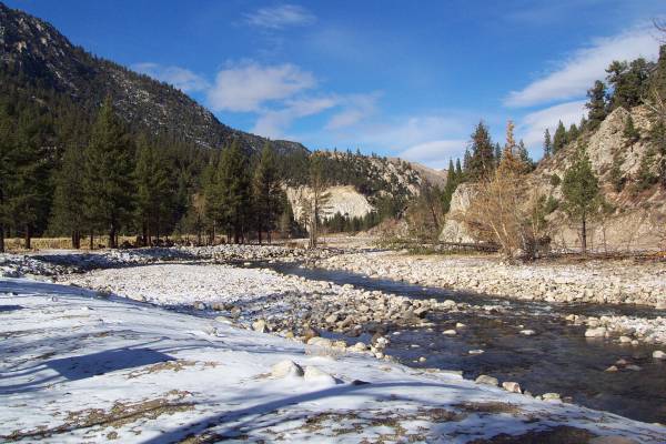
Walker River. |
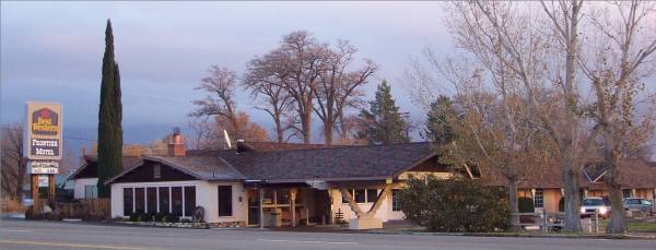
The Bridgeport Inn, Bridgeport, California. |
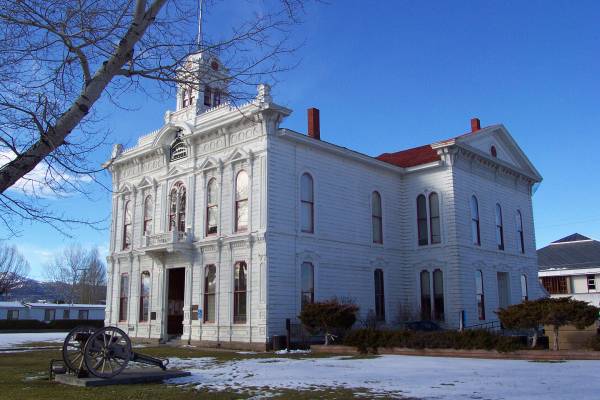
The Mono County Courthouse. |
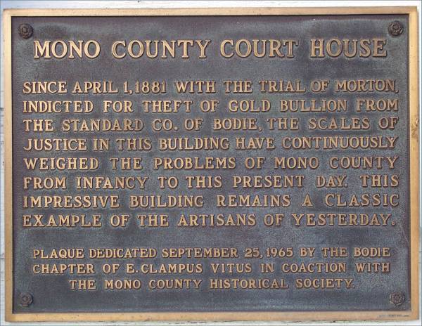
A plaque located on the front of the courthouse. |
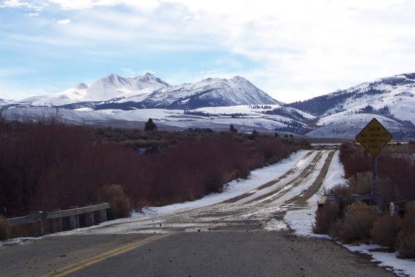
Beautiful snow covered mountains along Route 395. |
Just over Conway Summit, this spectacular view appears. Words cannot describe, nor pictures can show, how beautiful Mono Lake looked with the mountains freshly covered with snow! |
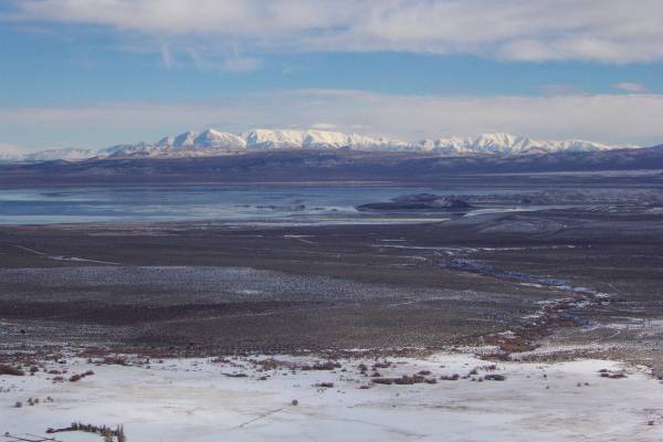
Another look at the view, slightly north, with Boundary Peak (the highest point in Nevada at 13,140 feet) to the left, and White Mountain, at 14,246 feet, near the center. |
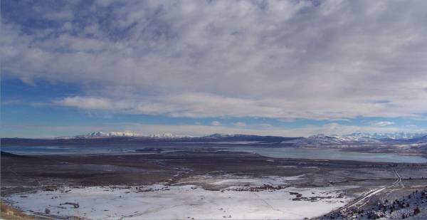
The view with a wide angle lens. Mono lake is twice the size of San Francisco. |
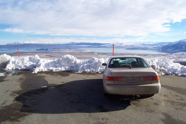
My car overlooking Mono Lake. |
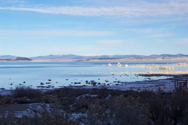
Down the hill and beside the lake, the tufas are visible to the right. |
A view of Mono Lake from the Visitor Center. |
Sage, at a different angle. |
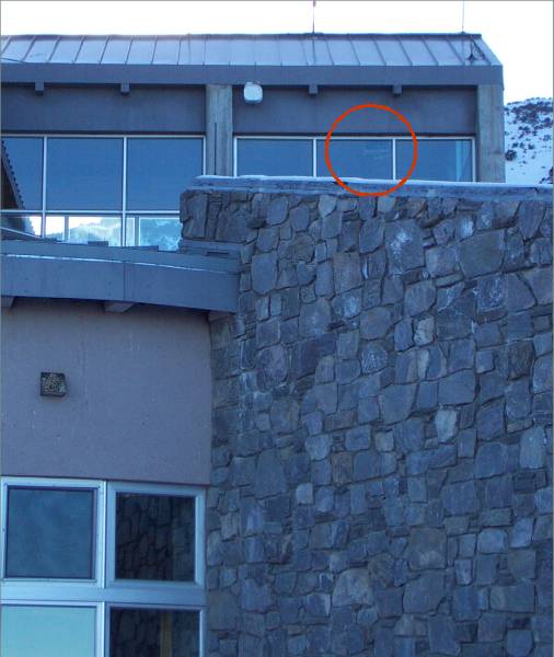
The location of the Mono Lake web cam! |
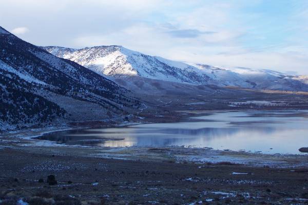
Looking north from the visitor center. |
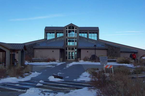
The Visitor Center. |
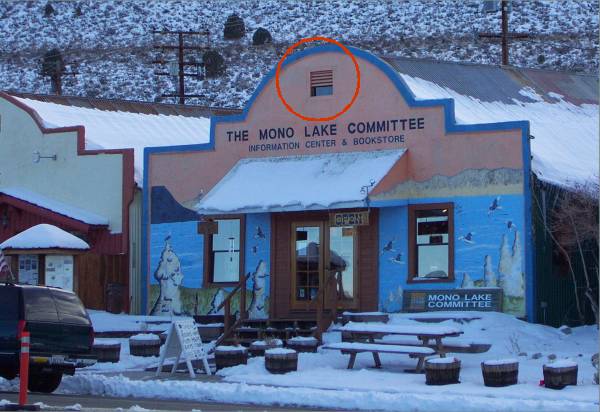
The Mono Lake Committee building in Lee Vining, California, just south of the lake. I have circled the location of their web cam. |
Lee Vining, looking north along Route 395. |
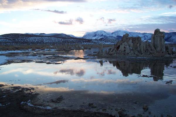
I hiked a trail that takes one through a tufa field along the south shore of the lake. |
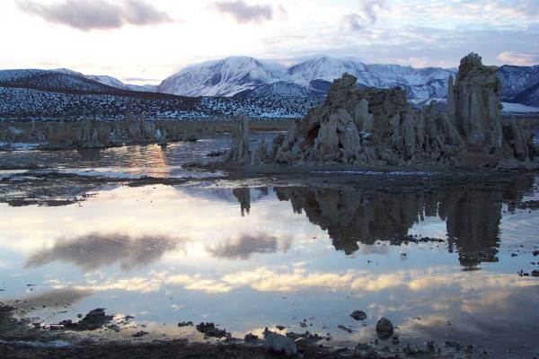
As the sun was getting low in the sky, I took these two pictures showing the reflection on the tufas (and background.) |
|
A large collection of tufas. |
|
|
Tomorrow I head into Death Valley, and if it remains dry (we are expecting rain) I will walk a few miles on the salt flats of Badwater, the lowest point in North America! Thanks for stopping by!
Routes traveled today: Ca49 - Shenandoah Road 55 - County Road 16 - US 50 - Ca 89 - Ca 88 - Kimmerling Road - US 395
Lodging: Best Western Frontier Motel - (The breakfast room of the motel, with autographed pictures and posters of the movies and actors that performed in Lone Pine.)
This page accessed times.
Page created by: igorn@igorn.com
Copyright © 2001 Igor N. Nikishin
All Rights Reserved
Pictures may be used with permission.