Wednesday, November 7, 2001
Hello from Eugene, Oregon!
Start time: 0700
Start odometer: 24007
Weather: Mostly clear skies, with a
beautiful sunrise! Temperature 33 degrees
F.
The weather today was very
cooperative. While some fog partially lingered, the sky was mostly clear
the majority of the day, and the sunrise was beautiful! Most of the day
was spent traveling along the coast, seeing many of the seaside resort
towns. Many spectacular views are available enroute. Later in the
afternoon, I turned east in Florence, heading towards the central part of the
state. The sun was setting, so I stopped in Eugene. Two rivers,
trains, and Interstate Highway 5 meet here, and tourism is supported here.
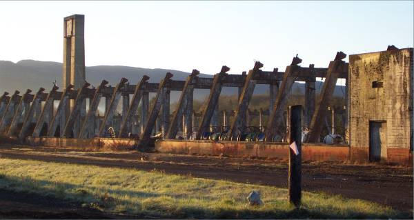
Yesterday, when I left the Air
Museum, it was getting dark. Since it was on the way, I decided to
stop by for some exterior pictures. I also wanted to see the second blimp
hangar that used to be there, but burned down in the early 1990s. Now,
only one blimp hangar remains at this site. In the United States, only
seven of these hangars remain.
Click on picture for larger image,
hit back button to return to this page.
|
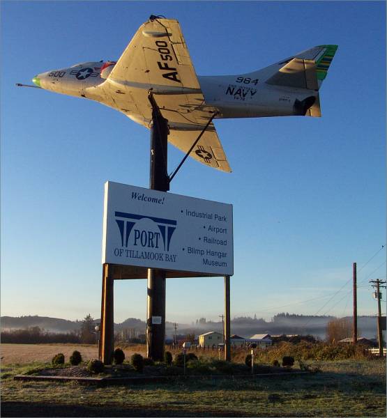
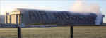
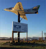 The entrance sign on Route 101 to
the Tillamook Air Museum. |
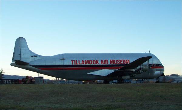
 I wanted to offer two more
pictures of this unusual aircraft. |
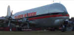
Note the location of the cockpit
|
|
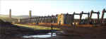 The remains of the second hangar
that burned in the early 1990s. |
These held the large sliding doors at the opening of the hangar. |
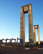
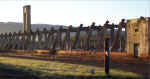 The framework of the burned
hangar. |
|
 A parting shot of the
museum. As I said, HUGE letters! |
|
|
After stopping at a nearby state park for a short
hike to a waterfall, I headed south on Route 101. This guided me through
many quaint and interesting towns along the coast, as well as several
lighthouses.
|
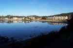
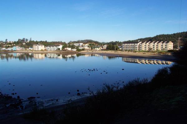
The town of Pacific City, Oregon. |
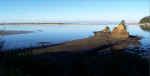 Another view of the coast south
of Pacific City. |
 From a park south of Pacific
City. |
|
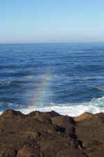
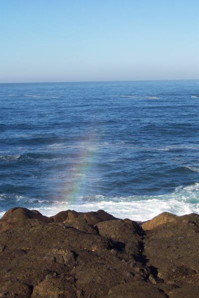
At the park, water thrown into the air by the surf would create a small rainbow. |
 Another view of the pacific
coast. |
|
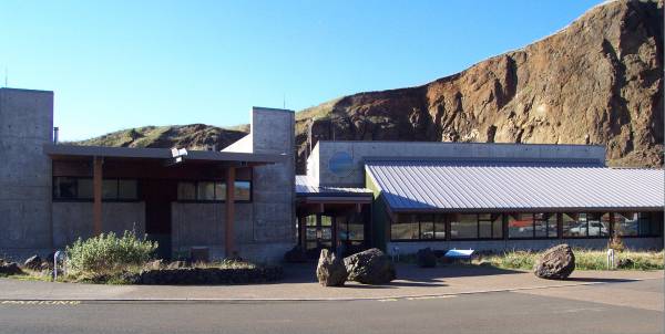
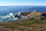
I stopped at the Yaquina Head Natural Outstanding
Area, the Bureau of Land Management area that is the location of the Yaquina
Head Lighthouse. Tours of the lighthouse are available, and there are
several trails to explore.
|
 The visitor center for Yaquina
Head Lighthouse. |
 From an overlook approaching the
lighthouse. |
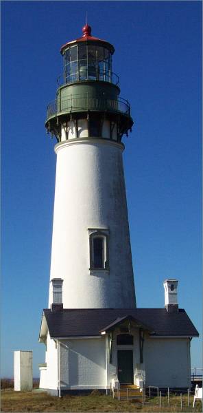
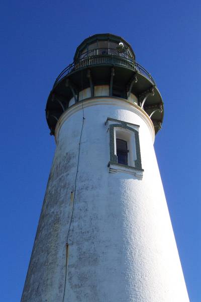
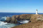
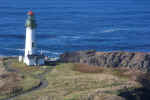
 The Yaquina Head Lighthouse, the
tallest lighthouse in Oregon. |
|
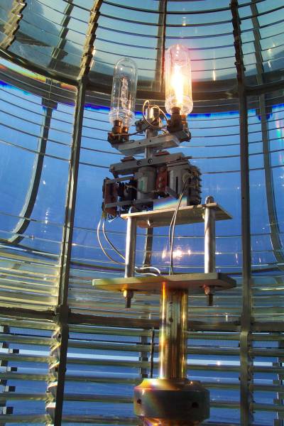
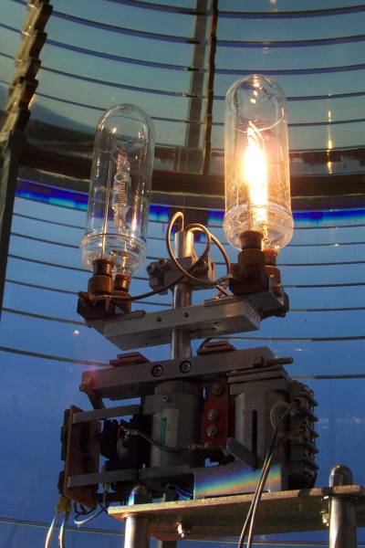
 The lamp turns on for two
seconds, off for two seconds, on for two seconds, then off for fourteen
seconds, and repeats. |
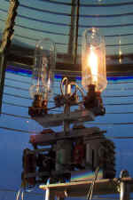 Close
up view of the lights. |
From the top of the lighthouse. |
|
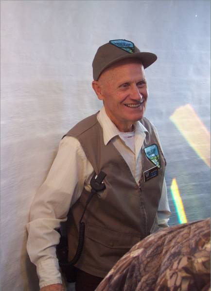
 Dick was our tour guide. He
had some great stories to tell, as he had been in this area for many years. |
 From the base of the light, the
backup strobe can be seen near the top. |
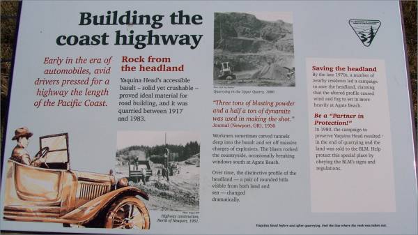
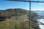
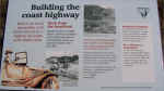 The hill east of the lighthouse
was used to build Route 101. |
|
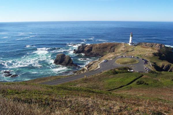
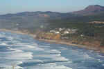
 I hiked up a hill next to the
lighthouse for some great views. A view of a quarry, the parking lot
for the visitor center in the lower right. |
 The lighthouse, parking area, and
cliffs from the trail. |
 Another view looking west from the
hilltop. |
|
 From the same hill, this is the
view to the north.
|
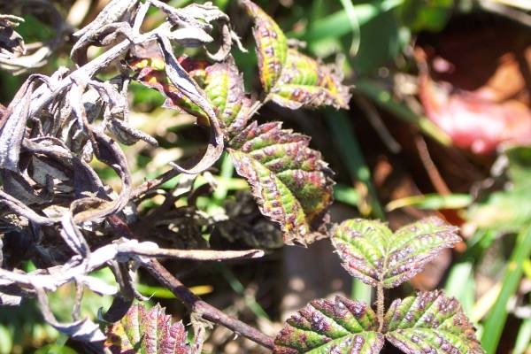
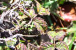
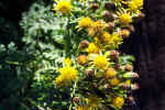 Plants along the trail.
|
 |
|
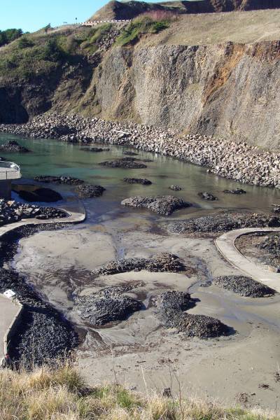
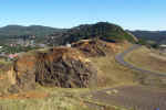
 In 1992, it was decided to try
and set up a quarry as a tidal pool.
|
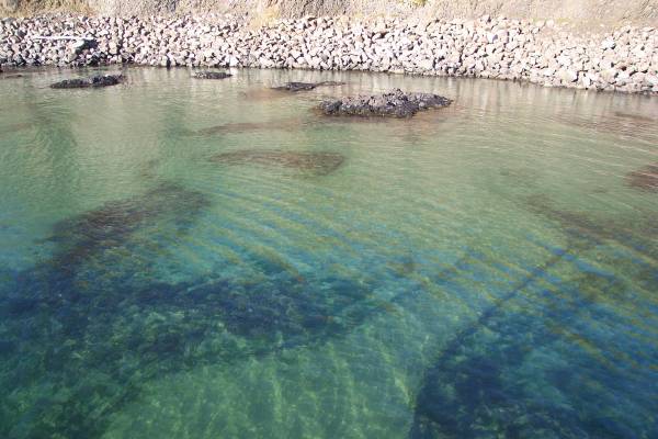
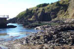 Another view of the tidal pool.
|
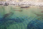 Trails are constructed throughout
the tidal pool area. It was three hours prior to high tide, and some
of the trail can be seen underwater.
|
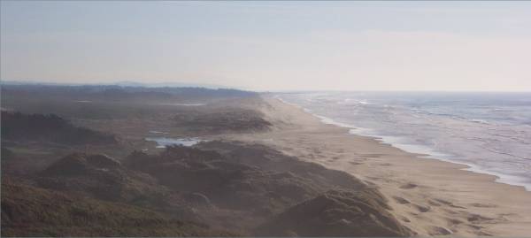
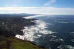
I continued driving along the coast and visiting
some of the resort towns. In Florence Oregon, I turned east on Oregon
Route 126. It was a nice drive, and many trees were exhibiting beautiful
fall colors, though it was past peak for most.
|
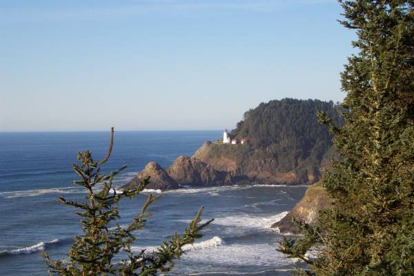
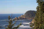 Heceta Lighthouse
|
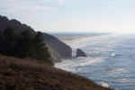 From the same viewpoint, looking
south.
|
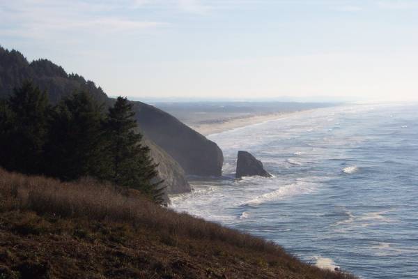
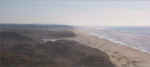 Looking south from Florence,
Oregon, as I prepare to turn inland for a while.
|
In the morning, I hope to drive to the Newberry
National Volcanic Monument, and looking at the map, some interesting roads
should lead me there. I will then turn south and head towards Crater Lake
National Park. Thank you for stopping by the page!
Routes traveled today: US 101 - Oregon 126
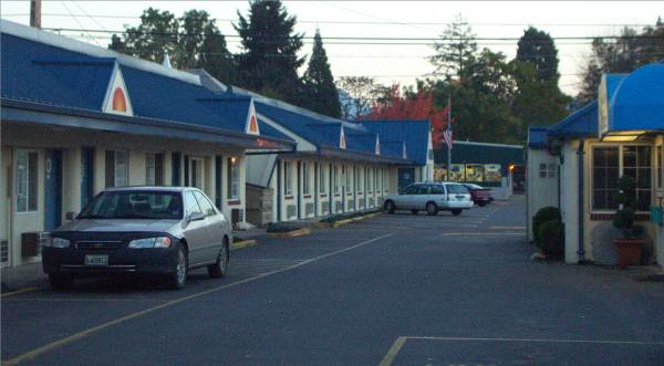
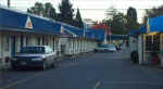
Lodging: Classic Residence Inn -

This page
accessed  times.
Page
created by: igorn@igorn.com
Copyright
© 2001 Igor N. Nikishin
All
Rights Reserved
Pictures
may be used with permission.