Sunday, November 4, 2001
Hello from Neah Bay, Washington!
Start time: 0815
Start odometer: 23245
Weather: Cloudy with drizzle, temperature 50 degrees
F.
Sorry for the delayed upload.
No phone in my room tonight!
Neah Bay, in the Makah Indian
Reservation, is known for its tourism, as well as some commercial fishing.
The nationally recognized Makah Cultural and Research Center is located here.
And, it is the nearest town to
Cape Flattery, the location of the
northwestern-most point of the contiguous United States! A half mile trail
from the parking area leads to the Cape and some incredible views.
The day also provided some
interesting thought for me. On several occasions, I saw sights that
reminded me of other places of this trip. From the coast of Maine, to the
shore of Lake Superior, to part of the drive in Alaska, it was intriguing to see
these similar sights!
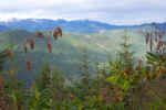
I started the day with steady
drizzle, clouds and fog. Eventually the drizzle stopped and I was able to
see blue sky above. The drive led me through pretty coastal towns and
along the Olympic National Park. Many fishermen were out this morning, and
I also saw a group of scuba divers preparing for an ocean dive. As the fog
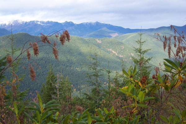
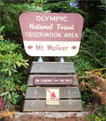
cleared, the mountains of the Olympic Range came into view! Soon, a road
sign indicated a four mile drive to the Mt. Walker Overlook, which I decided to
see.
Click on picture for larger image,
hit back button to return to this page.
|

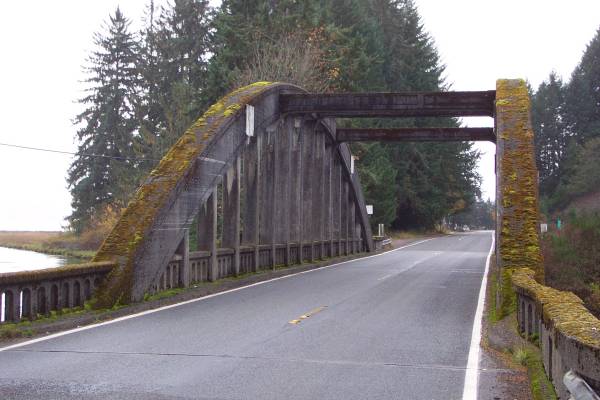
Interesting concrete bridge
along Route 101. |
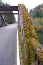
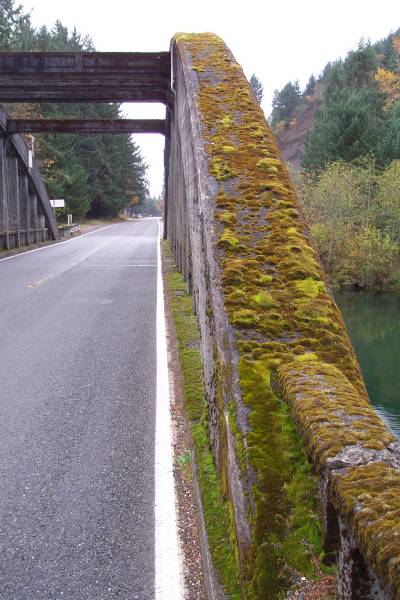
A close up of the side rail. |
Near the end of the four mile
drive. |
|
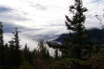
The overlook had two separate
views, this from the south... |
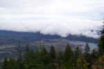
...And this from the north
view. The town of Quilcene can be seen beyond the trees at the
bottom. |
Another view from the north overlook. |
|
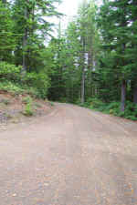
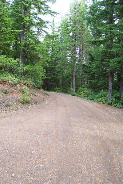
The gravel road to the
overlooks. |
|
|
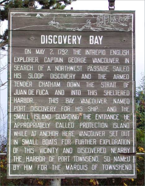
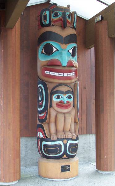
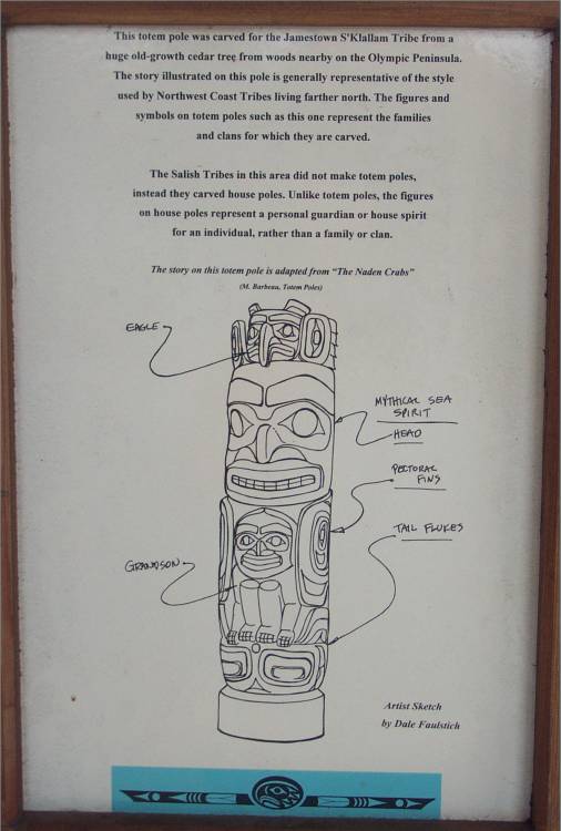
Continuing on Route 101, several historical markers
were displayed. At a reservation, a totem pole with a sign describing it
was exhibited.
|
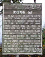
The quick lesson of Discovery
Bay. |
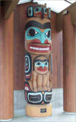
The totem pole displayed along
the side of the road. |
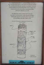
Information on the previous
totem pole. |
I continued north and west on Route 101 until I
reached the town of Sequim. When I was visiting North Cascades National
Park, Ranger Dan suggested a visit to the Dungeness National Wildlife Refuge,
accessible from Sequim. The refuge is on a spit that supports many types
of wildlife, and also has a lighthouse.
|
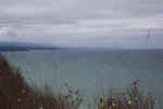
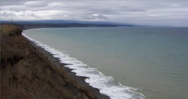
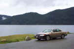
A view of the coast enroute to
the refuge. Just to the right of center along the waterline are
ships outside of Port Angeles. |

Another view of the coast. |
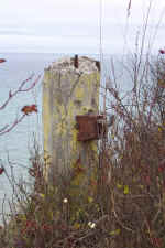
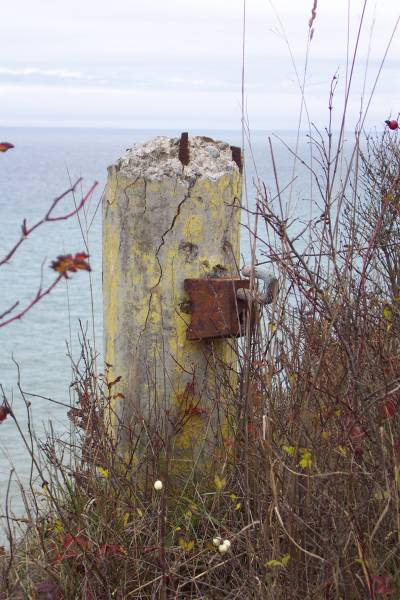
A old post beside the cliff. |
|
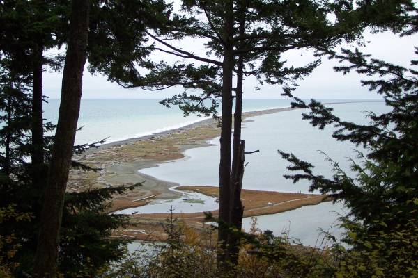
The spit, location of the
refuge. |
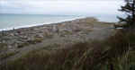
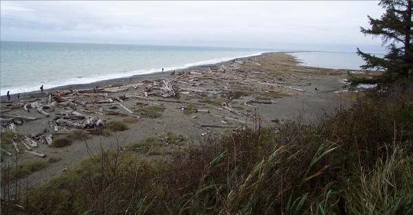
Another view of the spit.
For size reference, people can be seen along the left side. The area
along the right side was closed. |
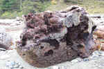
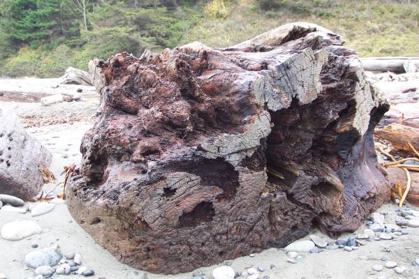
I saw this interesting tree
trunk as I walked along the coast. |
|
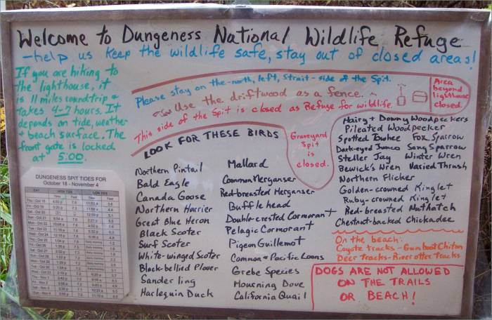
This is a sign posted by the
rangers. Note the many birds sighted. |
The trail back to the parking
area. |
|
My next destination was Port Angeles and the Olympic
National Park Visitor Center south of town. The rangers was very helpful
in providing information, and after viewing the slide presentation and visiting
their exhibits, I continued west on Route 101. The road traveled along the
north border of Olympic National Park, and the scenery was impressive.
|
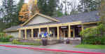
The Olympic National Park
Visitor Center. |
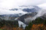
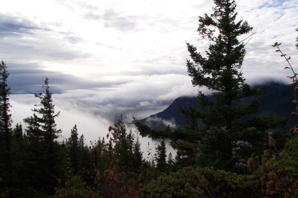
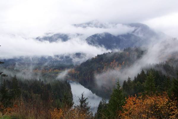
A beautiful cloud and fog scene
along Route 101 |
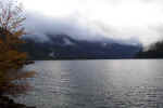
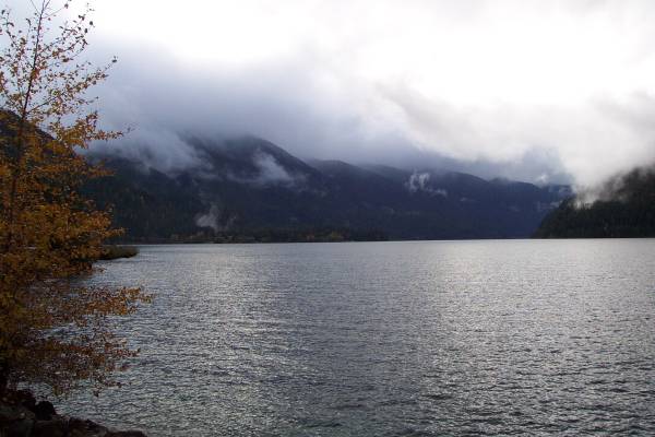
The western portion of Lake
Crescent. |
|
The east portion of Lake
Crescent. |
|
|
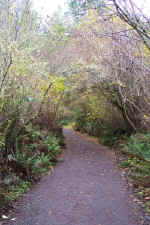
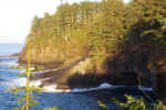
I finally arrived at Neah Bay in the afternoon, and knowing I did not have too
much sunlight left, drove immediately to the trailhead for Cape Flattery.
After a few miles of paved, then gravel road, I began my half mile hike. I
had no idea what I was about to experience. The trail directed you through
an amazing amount of green lush forest. After going through some mud, as
well as conveniently constructed wooden paths, you arrive at several
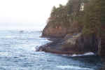
overlooks. The last one takes you to the northwestern-most point, on a cliff at least fifty feet above the water which is crashing against the
rock below, and the view is incredible!
While at the overlooks, I was again fortunate to
meet two more great people! Charlie was from Sekiu, Washington (or was it
Sequim, Charlie?) and Justin, from north central Connecticut. Justin had
planned on taking two months to tour the country, and now, it is two years later
and he is still on the road! Justin has also been meeting people and
making friends on the road as I have been, and he had met Charlie
recently. Charlie is able to provide much information about the Olympic
Peninsula since he had been here his whole life. He is planning a month
long trip to Australia at the beginning of next year, then afterwards, finishing
his sailboat to tour the world by water! We shared some enjoyable travel
stories, and I learned more about the peninsula area. Again, I cannot
express enough how this trip is best when meeting the interesting and kind
people of the world. More travelers meeting travelers!
|
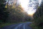
The road to
Cape Flattery.
|
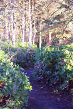
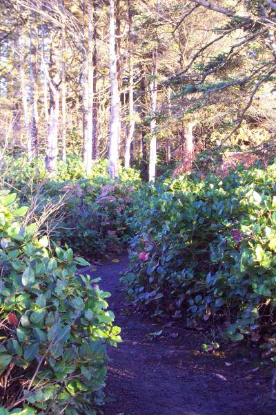
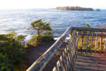
Part of the
trail to the overlooks.
|
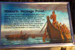
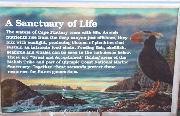
Descriptive
panel at the overlook.
|
|

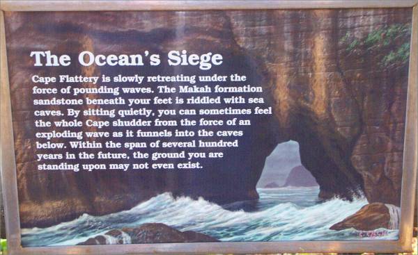
Another panel
at one of the overlooks.
|
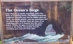
The painting
on this panel resembles the cliffs at the Cape.
|

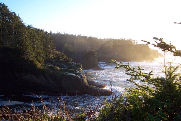
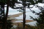
At the
northwestern-most point, looking west.
|
|
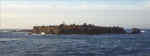
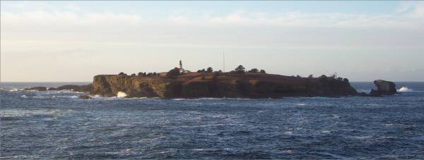
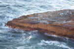
Tatoosh
Island, which belongs to the U. S., is home to a lighthouse. |
Looking
towards the edge of the cliff! |
From another
viewpoint, looking northeast. |
|
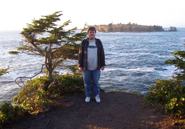
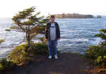 Here
I am at the northwestern-most point! |
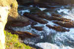
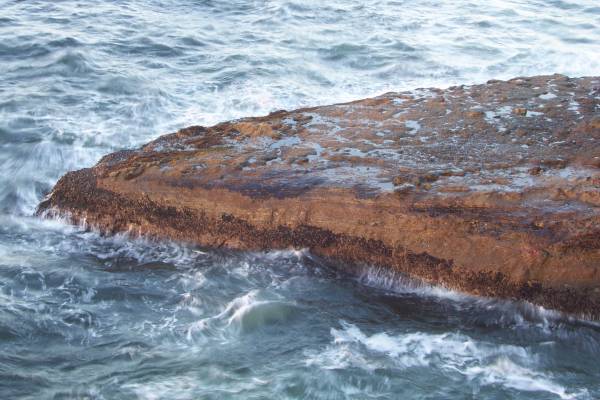
Looking down
at the waves crashing against the rocks. |
 Another
view of the water smashing into the shore. |
|
These pictures
do not provide the real feeling of power felt by the surf. |
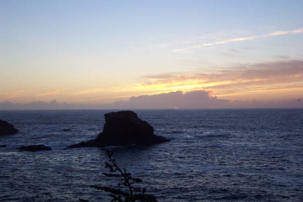
 The
sun setting over Jones Rock. |
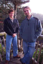
Charlie and
Justin! |
Monday I head south towards Oregon. I plan to make stops at the
Olympic National Park rain forest for some hiking, then see the Pacific
shore. Thanks for stopping by.
Routes traveled today: US 101 - Wa 113 - Wa 112
Lodging: Tyee Motel -

This page
accessed  times.
Page
created by: igorn@igorn.com
Copyright
© 2001 Igor N. Nikishin
All
Rights Reserved
Pictures
may be used with permission.