Friday, November 2, 2001

Hello from Kelso, Washington!

Start time: 0800

Start odometer: 22959

Weather: Start of day cloudy and fog, cloud breaks as day progressed, temperature 50 degrees F., ranged from 38 to 58.


Another great day of touring, with a visit to the impressive Mount St. Helens National Volcanic Monument.  Spent much more time than planned (no surprise) in the east side of the park and the Windy Ridge area.  After a beautiful drive around the south side of the park, I decided to stop in Kelso to position myself for a visit to the west entrance of the park tomorrow.  Kelso, while originally involved in sustaining a mining industry, now serves as the lumbering and milling center for timber operations throughout the region (information from the phonebook.)


Highlights of the day included a hike to Layser Cave, last inhabited by natives over four thousand years ago.  This was followed by a drive to Windy Ridge Overlook, located to he east of Mount St. Helens.  I learned bit about the eruption of May 1980, and the incredible power exerted by nature on the landscape and some of the people here at that time.  At the overlook, I met Mark and Heather visiting from Eau Claire, Wisconsin.  Two more interesting people I have had the fortune to meet on this trip.  They were headed to Seattle today and should have a nice night before having to fly back home Saturday.  (By the way, in case you two were wondering if the fog ever cleared, I remained in the area for another 45 minutes.  While views to the north appeared, Mount St. Helens stayed elusive behind the fog!)


As I was traveling east from the overlook, I met three hunters preparing for elk season tomorrow.  Bud, Paul, and Rick are from a town southeast of the park and they had some interesting stories about the eruption and results of its force.  One final note, the roads today led through some spectacular scenery!

Click on picture for larger image, hit back button to return to this page.

110201.jpg (35245 bytes)

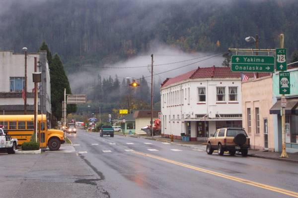
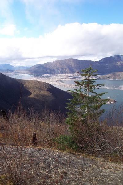
The town of Morton, Washington.

110202.jpg (71368 bytes)

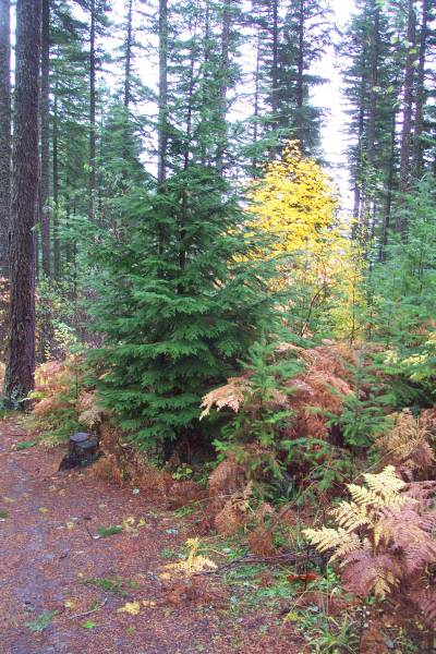
Along the trail to Layser Cave, the yellows glowed alongside the other trees.

110203.jpg (25635 bytes)

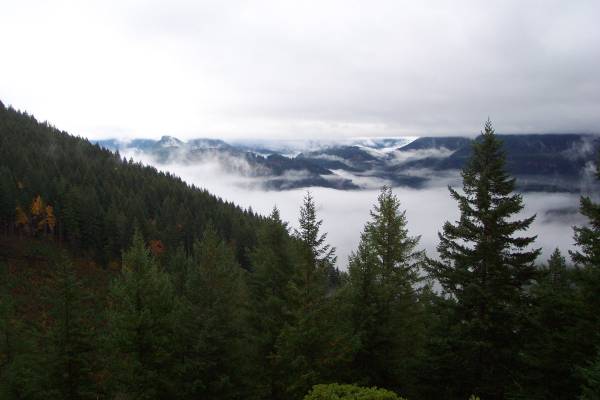
Clouds and fog make for an interesting view.

110204.jpg (66328 bytes)

A tree with an interesting bark.

110205.jpg (59997 bytes)

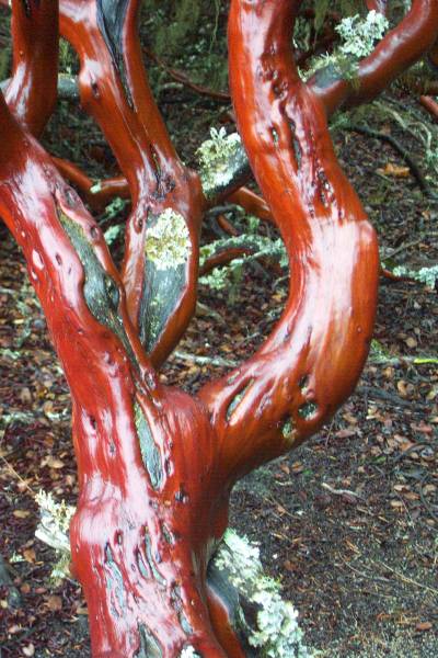
Close-up of the tree.

110206.jpg (54648 bytes)

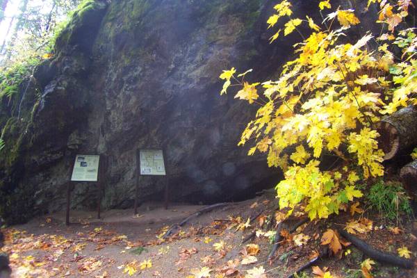
The entrance to Layser Cave.

110207.jpg (26983 bytes)

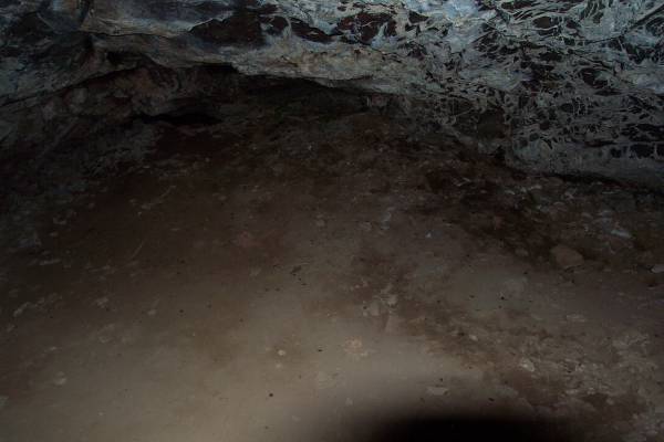
A picture of the end of the cave.

110208.jpg (52235 bytes)

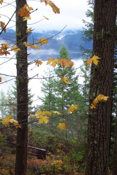
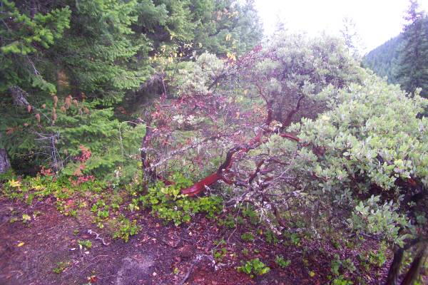
Another view from the trail.

110209.jpg (51503 bytes)

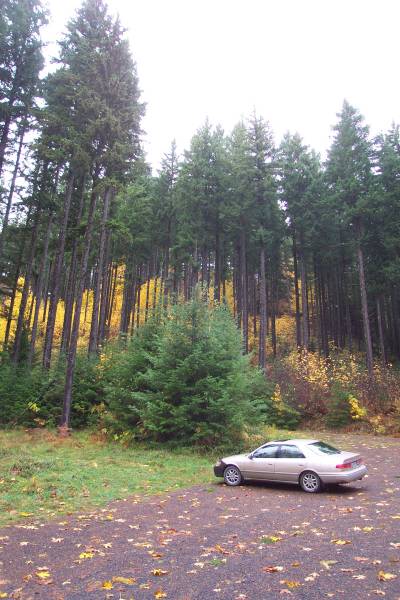
The parking area for Layser Cave.

110210.jpg (67779 bytes)

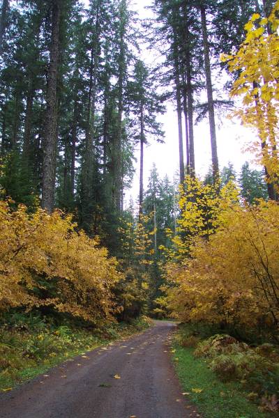
Another gravel road!

110211.jpg (33113 bytes)

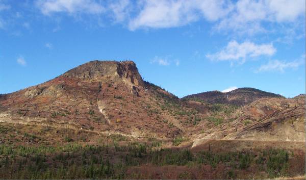
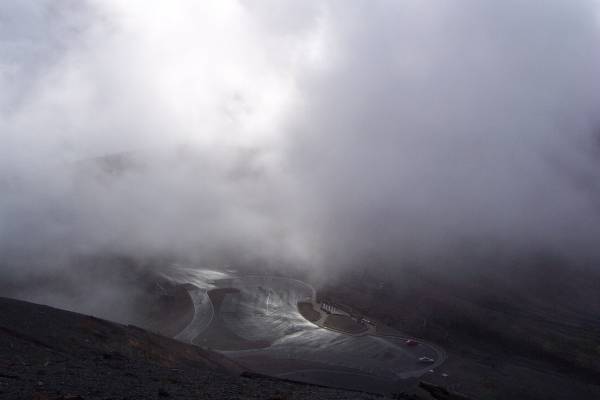
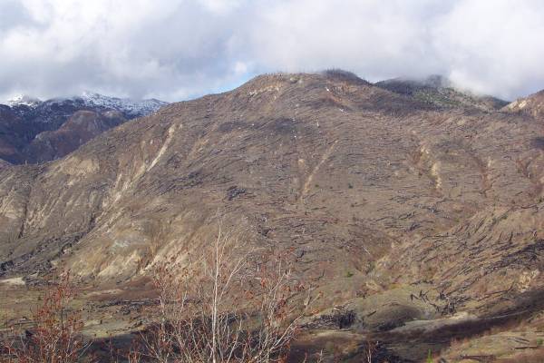
This is the road leading into the east side of Mount St. Helens National Volcanic Monument.  After some clearing of clouds from this angle, the scarred landscape can be seen.

110212.jpg (17715 bytes)

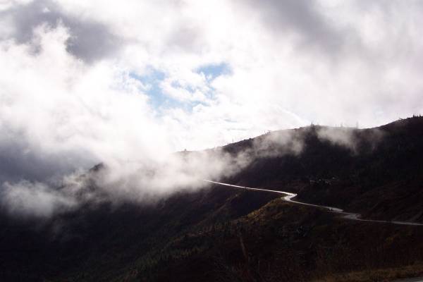
As the fog rolls in, the road shows as a silver ribbon into the clouds.

110213.jpg (39919 bytes)

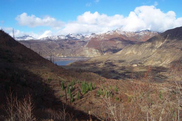
My first look at Spirit Lake.

110214.jpg (42736 bytes)

Another view of the lake.  Objects in the water are tree trunks.

110215.jpg (20832 bytes)

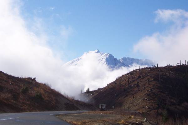
A view of Mount St. Helens, eastern slope.

110216.jpg (23756 bytes)

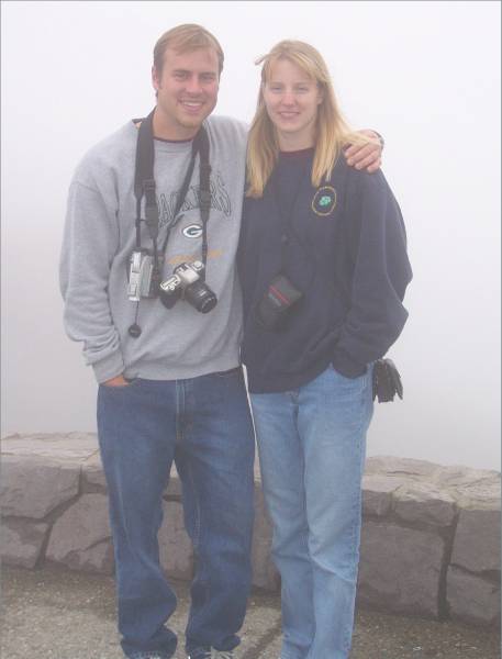
Mark and Heather, as we waited to see if the fog would clear.

110217.jpg (29582 bytes)

There was a stairway with a couple of hundred steps up to a viewpoint that provided some great sights (and a bit of a good workout.)  This picture is looking down into Spirit Lake at an interesting trunk sticking out of the lake.

110218.jpg (32615 bytes)

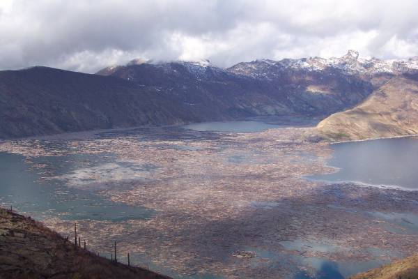
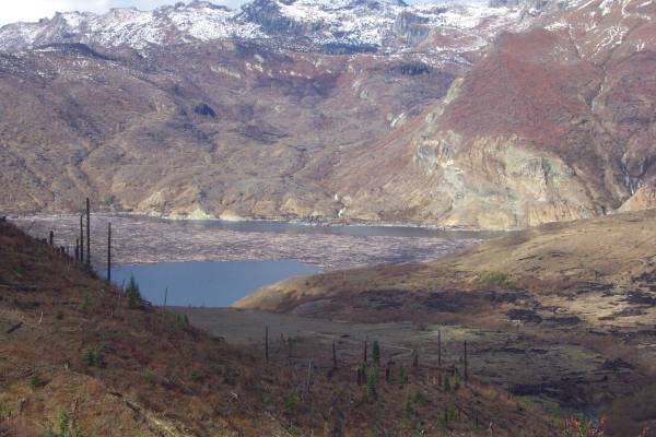
Another look at Spirit Lake.  The peninsula in the upper right portion of the picture was covered and wiped clear of all vegetation by a wave generated by the landslide during the eruption.  Water traveled eight hundred feet up the slopes of some of the ridges.  Also, note all the trunks on the water!

110219.jpg (35095 bytes)

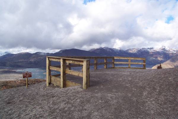
The viewing area after a short trail beyond the top of the stairs.

110220.jpg (45816 bytes)

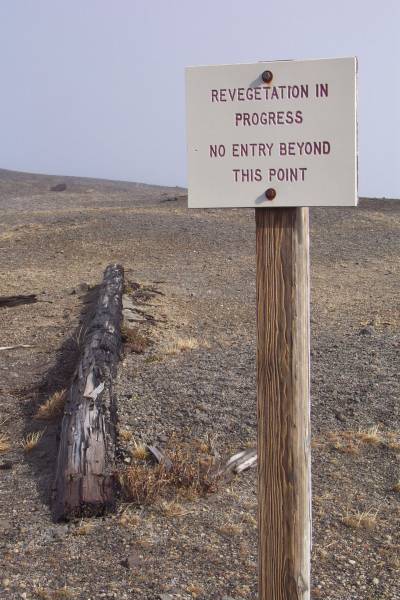
It was interesting to see the new growth occurring in this landscape.

110221.jpg (13154 bytes)

From the viewing area, looking down at the parking lot.  My car is at the right.

110222.jpg (37070 bytes)

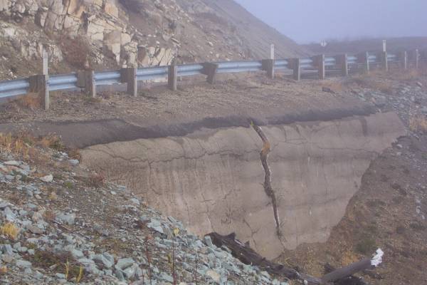
On my return trip, I stopped at a pullout and noticed this "slight" crack in the rock below the road!

110223.jpg (41154 bytes)

Another view of Spirit Lake.  Since this particular area is further from Mount St. Helens, the vegetation is quickly recovering.

110224.jpg (43100 bytes)

Looking at another barren landscape with remnants of trees.

110225.jpg (39993 bytes)

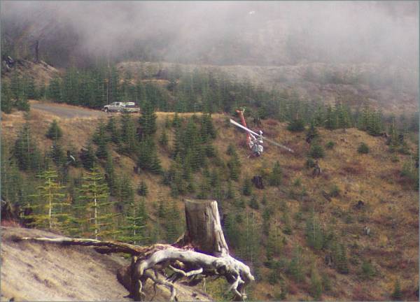
This helicopter had just lifted off the road to the left of the picture, then headed almost straight down into the canyon.

110226.jpg (70340 bytes)

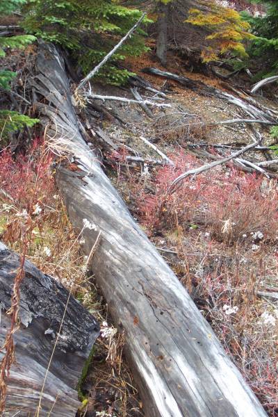
Along another trail, I noticed this fallen tree with twisted trunk.

110227.jpg (46447 bytes)

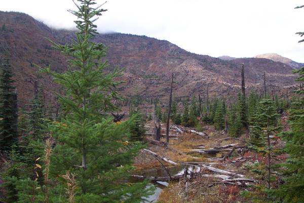
Being further away from the eruption, the recovery is faster here.

110228.jpg (71608 bytes)

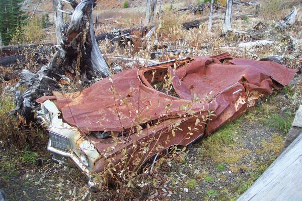
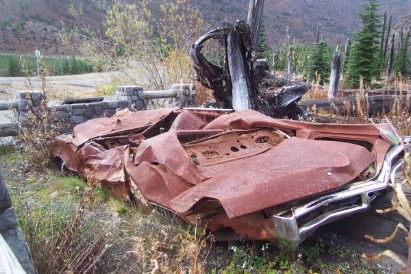
In May 1980, this car was parked on the other side of the road, and the owners were in a nearby cabin by a mine.  The blast pushed and rolled the car across the road to this position.  The owners in the cabin did not survive the blast.

110229.jpg (64823 bytes)

Looking at the rear of the car.

110230.jpg (54781 bytes)

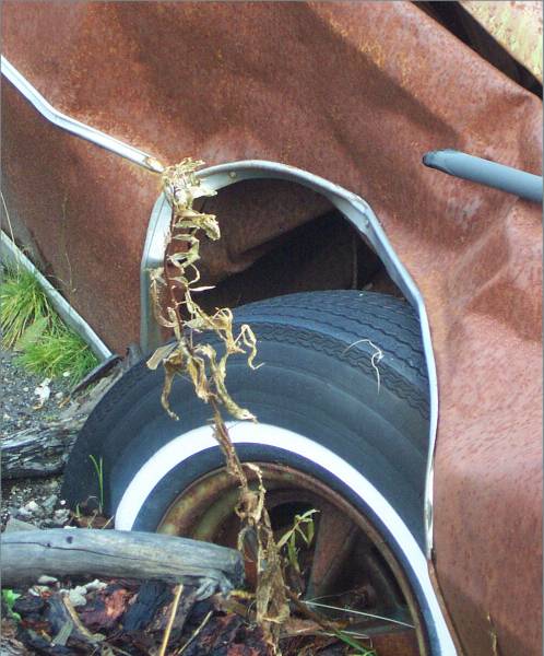
I was amazed that this tire looked unscathed.

110231.jpg (27060 bytes)

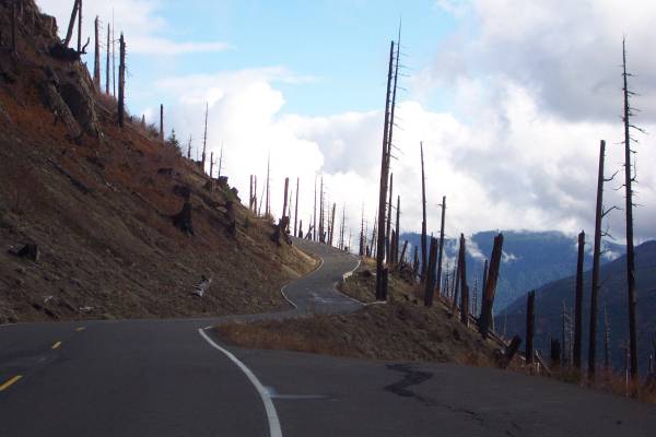
One last look at the road through the wounded forest.

110232.jpg (56044 bytes)

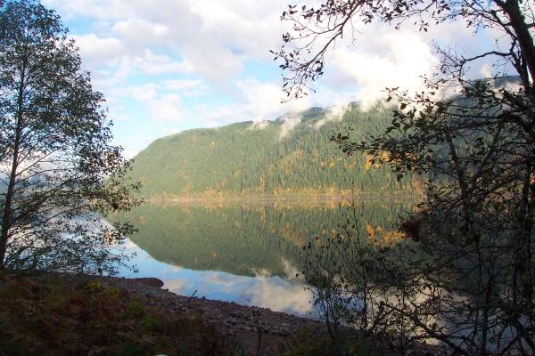
South of the park, I found this pretty lake providing great reflections.

110233.jpg (40534 bytes)

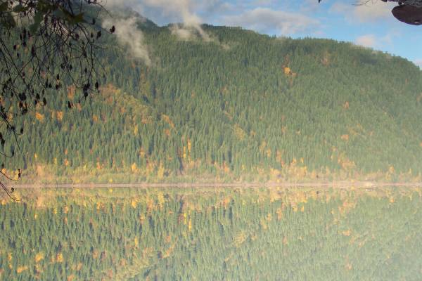
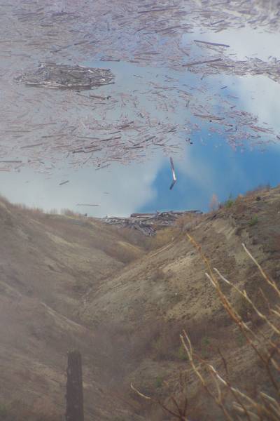
This picture is actually upside-down!

110234.jpg (34650 bytes)

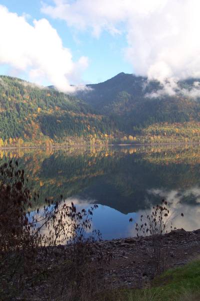
One last view of the lake.

Tomorrow I am returning to Mount St. Helens National Volcanic Monument, entering on the west side.  I will then head northwest towards Neah Bay.  Maybe I will finally get there tomorrow!  Thank you for visiting!


Routes traveled today: Wa 7 - US 12 - FS 23 - FS 25 - FS 99 - FS 25 - FS 90 - Wa 503 - US 5

Lodging: Motel 6 -

This page accessed  times.

Page created by: igorn@igorn.com


Copyright © 2001 Igor N. Nikishin

All Rights Reserved

Pictures may be used with permission.