Sunday, October 28, 2001
Hello from Winthrop, Washington!
Start time: 0730
Start odometer: 21943
Weather: Foggy morning, overnight
rain ended, skies cleared during morning, temperature 36 degrees F., 28 in
mountain passes, peaking
at 57.
More westward driving today,
continuing towards northwestern Washington. Though it was a little earlier
than normal for me to stop, Winthrop was the last town with a choice of lodging
on Route 20 before driving into the heart of the Cascades. It would be
dark before I got to Washington Pass, and this looked like an interesting
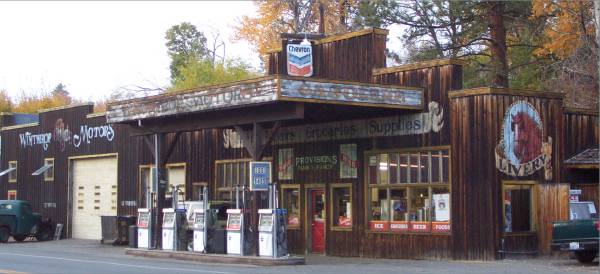
town. Winthrop is a throw-back to the late 1800s providing a an old
western town feel. Please click on the Winthrop
link for more information.
This morning was another foggy start,
as is also expected tomorrow. The drive soon took me into beautiful sunny
skies, and the winding roads provided more stunning scenery. Outside the
town of Kettle Falls, I caught my first glimpse of the Columbia River.
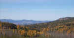
To the west of Kettle Falls is the
Colville National Forest. There are several recreation areas that provide
camping and hiking, as well as a scenic drive. I took a trail that
followed a log flume from the early 1900s, and also drove along Bangs Mountain
Road.
Click on picture for larger image,
hit back button to return to this page.
|
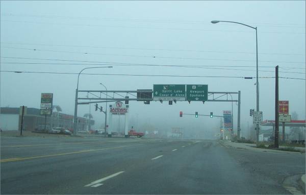
At this intersection is the
state line between Idaho and Washington. No signs were posted,
though. |
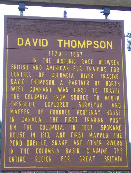
Historic marker along Route 20. |

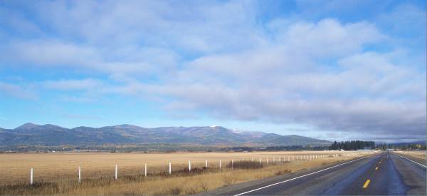
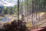
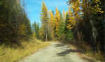
View along Route 20 in the
Colville National Forest. |
|
Logging in the early 1900s. |
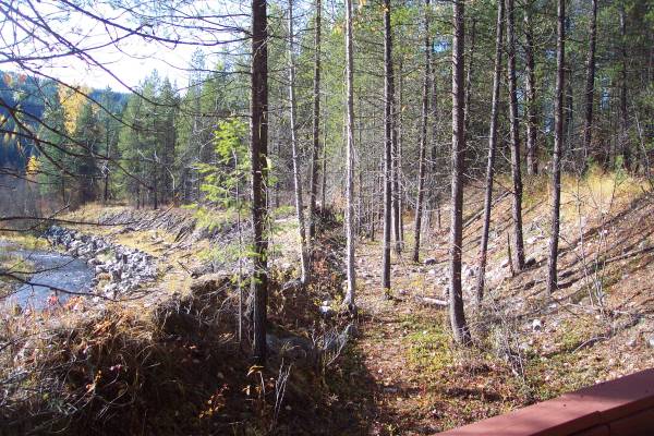
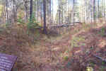
The indentation is the location
of the former logging railroad that passed through here.
|
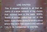
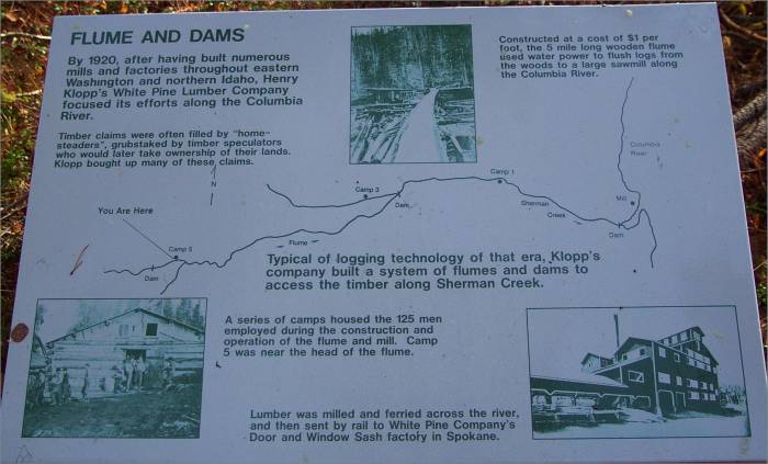
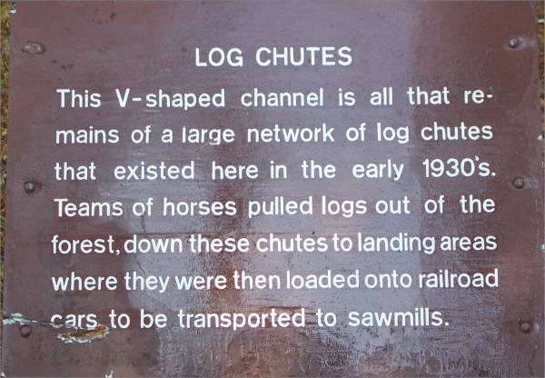
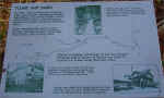
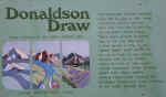
Panel describing area chutes. |
|
The channel mentioned in the
previous picture. |

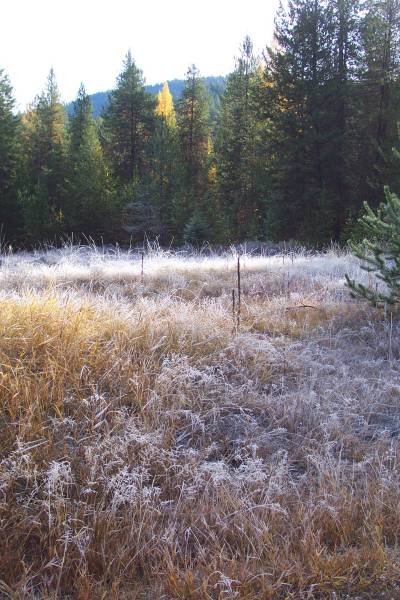
Some frost remaining in a high
field. |
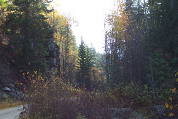
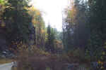
The Bangs Mountain road. |
|
Description of geological
feature along the Bangs Mountain Road. |
Looking at a cut along the
road.
|

Part of a rock wall along the
south side of the Bangs Mountain Road. |
|
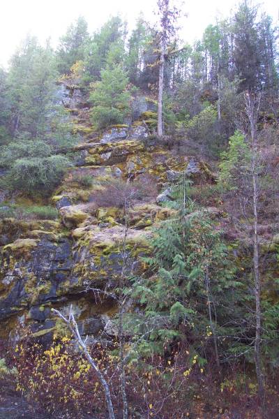
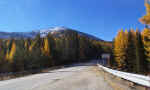
Falls colors still appear here. |

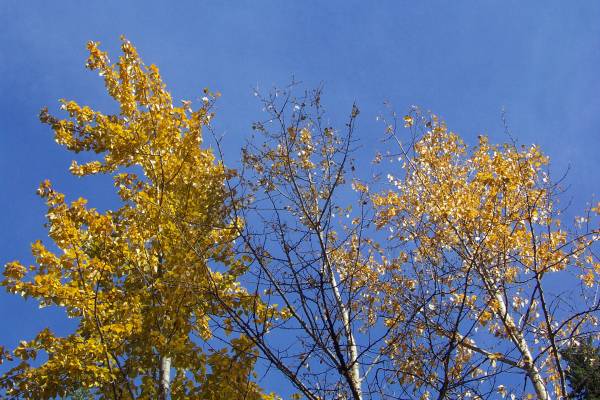
Treetops against the sky. |
|
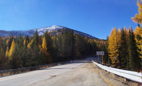
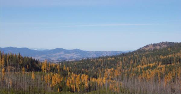
Continuing west on Route 20, I headed towards
Sherman Pass, with an altitude of 5575 feet. As I approached the top,
which was snow and ice covered, there were two vehicles behind a large tanker
truck. It seems the tanker was sliding on the angled turn, and was
stopped. Fortunately, another vehicle was there preparing to pull the
tanker away from the edge, and the other vehicles and I were able to continue
around the tanker.
|
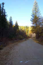
Nearing Sherman pass, the road
was still dry here. |
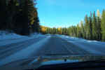
Approaching the pass. |
A view from the west side
of the pass. |
I stopped in Okanogan to get groceries and found the
Food Depot, in a log constructed building. The people there were extremely
kind and helpful.
|
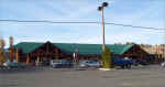
The Food Depot in Okanogan. |
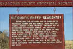
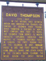
Historical marker enroute to
Twisp, Washington. |
|
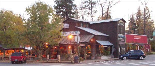
After arriving in Winthrop and checking in, I walked
around town and visited some of the shops. In a quilt shop, I met a
wonderful woman named Harriet Haase. At 85 years old, she had some great
stories to tell about her many years in Winthrop, as well as other topics.
|
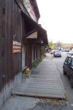
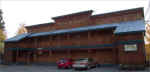
Boarded sidewalks line the
streets, similar to Dawson City, Y. T. |
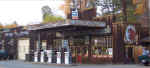
The in-town Chevron service
station. |
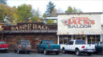
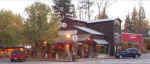
Three Fingered Jacks Saloon,
next to the Dance Hall. |
|
A little fuzzy, taken as it was
getting dark. |
|
|
There are some ice patches at Washington Pass where I hope to go
tomorrow. I have been advised to give the sun sometime to warm up the
road, so I may stop for a hike in the morning enroute to the pass. I
should be north of Seattle tomorrow evening, but with the way I
travel?!?!? Thank you for visiting!
Routes traveled today: US 2 - Washington 20 - Bangs Mountain Road - Wa 20
Lodging: Hotel Rio Vista -

This page
accessed  times.
Page
created by: igorn@igorn.com
Copyright
© 2001 Igor N. Nikishin
All
Rights Reserved
Pictures
may be used with permission.