Friday, October 26, 2001
Hello from Kamiah, Idaho!
Start time: 0845
Start odometer: 21408
Weather: Clear skies, temperature 21 degrees F., peaking
at 57.
After a day of mostly driving, I
stopped in Kamiah, Idaho. This area was the winter home of the Nez Perce
Indians. They were here to fish for steelhead and to manufacture
"Kamia" ropes, hence the name Kamiah, "the place of many rope
litters." Lewis and Clark also camped here during their 1806 journey.
Woke up to a beautiful sunrise this
morning. My first stop today was at a park not open until 0900, so I took
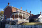
my time this morning. I arrived at the Grant-Kohrs Ranch National Historic
Site as Ranger Lyndel was unlocking doors to the buildings. She offered a guided
tour of the main house built in 1862. This site is operated by the
National Park Service as an exhibit of ranching in the 1800s and early
1900s. This house and ranch were originally owned by Johnny Grant, who
sold everything to a German immigrant, Conrad Kohrs, in 1866. Conrad's
grandson began managing the property in the 1930s, and purchased the property in
the 1940s. In 1972, the property became a National Historic Site.
Fortunately, the grandson preserved much of the contents of the home, so all
articles on display today are original.
Click on picture for larger image,
hit back button to return to this page.
|
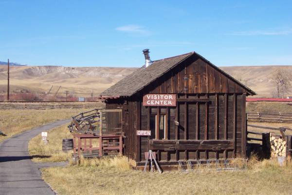
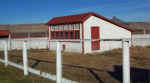
The Park Visitor Center.
Small, but keeping with the theme of the site.
|
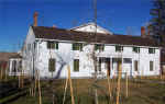
The back of the ranch house.
|
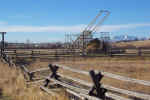
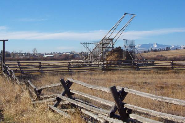
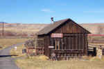
This is a picture of the
beaverslide mentioned in the report for yesterday. |
|
The chicken coop |
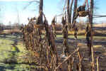
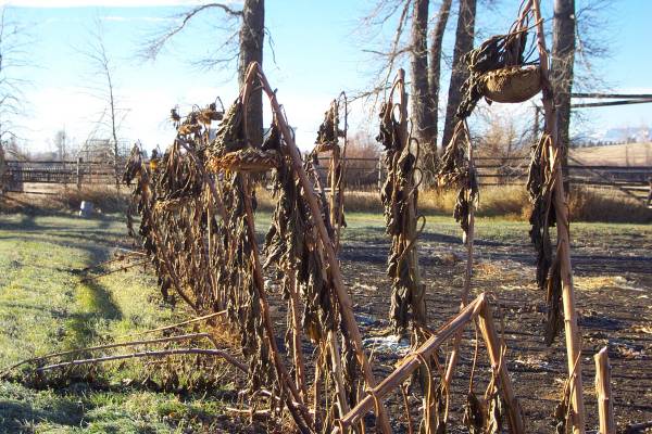
Old sunflowers, which were
about seven feet tall.
|
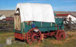
A wagon on display used in the
summer for presentations. |
|
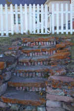
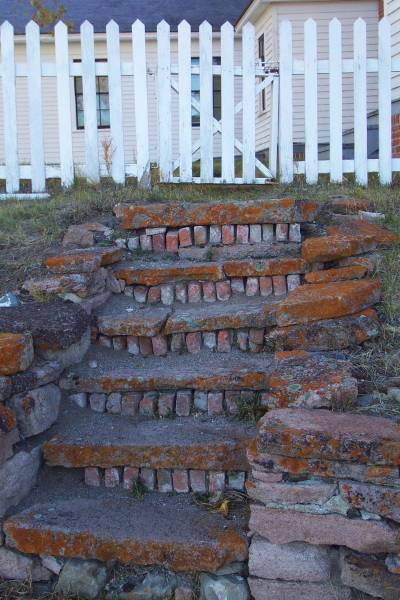
An interesting staircase
leading to the back of the ranch house. |
The front of the house.
|
|
The remainder of the day I spent
driving, with several roadside stops along the way. Staying on the
back roads, I swung northeast through some interesting towns, then headed west
into Idaho.
|
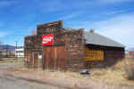
An old store in the town of
Avon, Montana. |
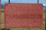
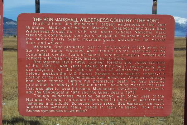
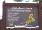
The story of the wilderness area.
|
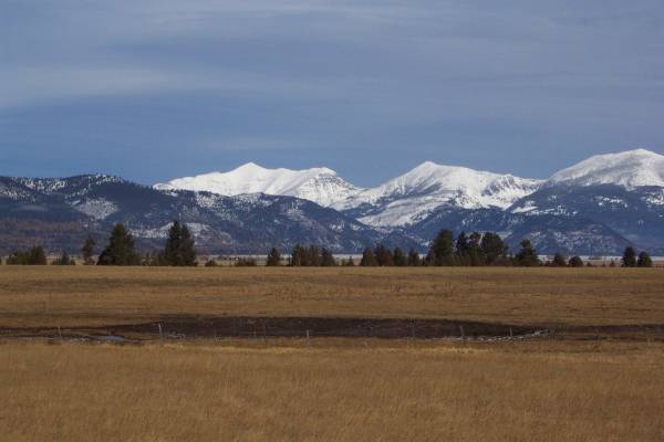
 A
view of part of the area described in the previous panel.
|
|

Taken in the town of Ovando,
Montana.
|
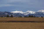
A view along Montana Route 200.
|
Another nice view... |
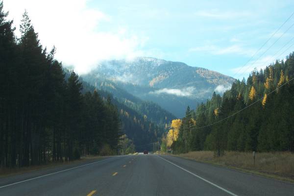
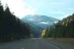
Someone earlier on my journey
mentioned that Route 12 is a nice drive through Idaho, so I joined it in
Missoula, Montana. It is a great road with incredible views. And
since it is the end of October, the traffic was very light.
|
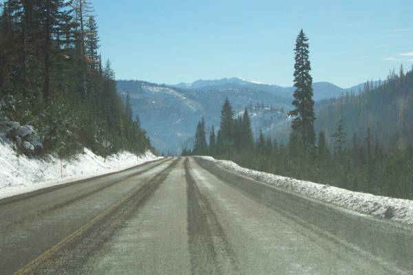
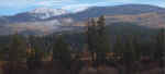
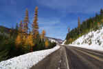
Snow atop Lolo Pass, Route 12, at
the Montana-Idaho border. This also took me into the Pacific Time
Zone.
|
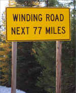
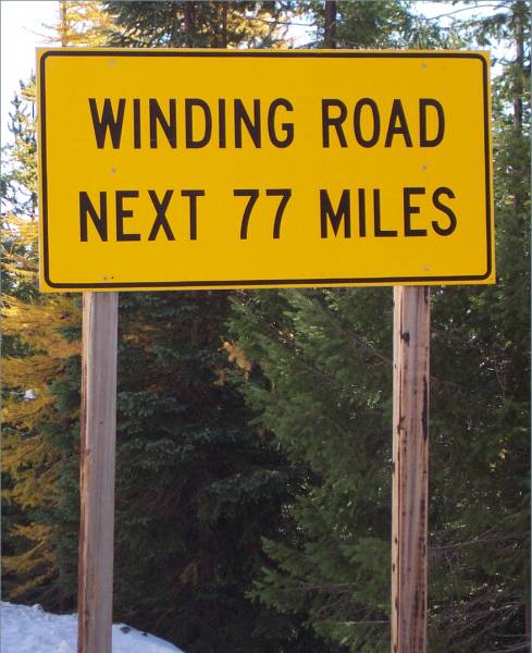
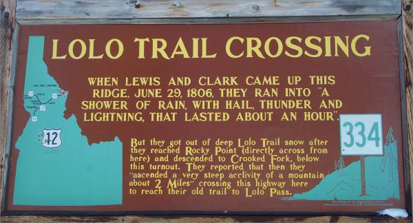
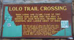
Sign posted just beyond Lolo
Pass. It was fun to drive!
|
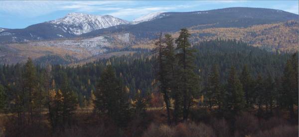
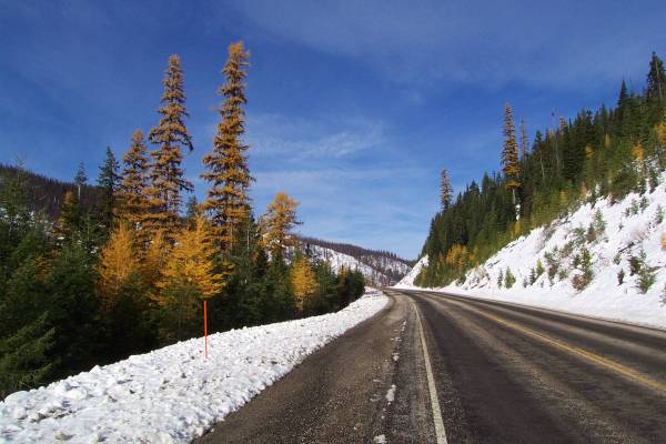
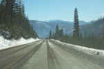
Looking west. |
|
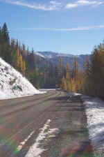
Further down Route 12, looking
east. |
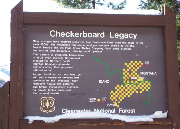
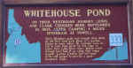
The next three pictures were on
display at a pullout.
|
|
|
|
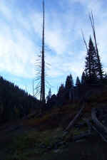
A hiking trail was available to view the some of the remains of a
burned area.
|
 A
view of the Selway River
|
Tomorrow I continue west into Washington. I am going to review a list
of suggested Washington sites mentioned to me by a local I met when in
Minnesota. Thank you for looking at the page!
Routes traveled today: Montana Frontage Road - US 12 - Mt 141 - Mt 200 - US
12
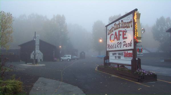
Lodging: Lewis and Clark Resort -

This page
accessed  times.
Page
created by: igorn@igorn.com
Copyright
© 2001 Igor N. Nikishin
All
Rights Reserved
Pictures
may be used with permission.