Sunday, October 21, 2001
Hello from Diamondville, Wyoming!
Start time: 0845
Start odometer: 20140
Weather: Temperature 24 degrees F., peaking
at 68 degrees.
Today was spent mostly in the car, but I did get the
chance to take an interesting hike to a old fossil quarry which is now part of
the Fossil Butte National Monument. When finished, it was late in the
afternoon, so I drove east 14 miles to Diamondville. This town was
originally settled in the second half of the nineteenth century due to a high
grade of coal being discovered. It was named for the look of the rich
fossil fuel that looked like a black diamond. This area is now being
promoted as the fossil capitol of the world due to its proximity to the former
location of Fossil Lake, a prehistoric lake where fossil mining is currently
occurring.
It was a beautiful morning with clear blue skies
above. It was a little cool, but the sun warmed up the car nicely.
My plans were to head south towards the Fossil Butte National Monument in Fossil,
Wyoming, but I first wanted to drive over Teton Pass, just west of
Jackson. It was a beautiful drive, and must take much maintenance to keep
clear in the winter. Just a few miles west of the pass, I entered Idaho,
my first visit to this state.
Click on picture for larger image,
hit back button to return to this page.
|
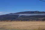
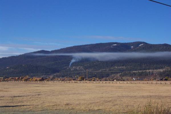
While driving towards Teton Pass
and looking southwest, I noticed this smoke spreading across the
mountainside. I believe it was a prescribed burn.
|
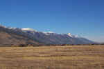
This is from the same spot as the
previous picture, but looking northwest.
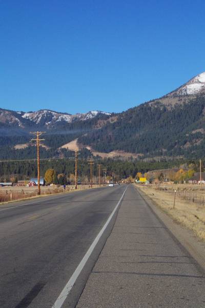
|

Looking towards Teton Pass. |
|
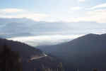
From the top, you can see how the
smoke from the fire obscures the view into Jackson!
|

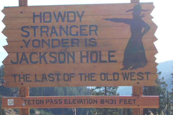
This is the sign that greets
visitors arriving to the pass from the west.
|
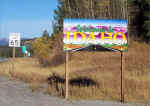
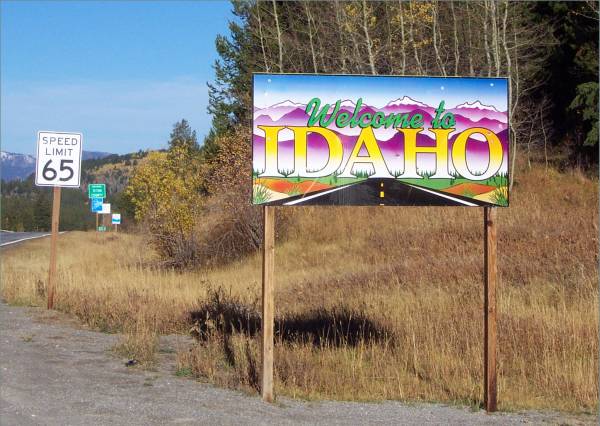
My first time in Idaho.
Over the next two hours, I will have returned to Wyoming, go back into
Idaho, then find myself in Wyoming again! |
Heading southeast on Route 26, I drove across the
Palisades Dam to the Calamity Recreation Area. Not sure I would want a place
called Calamity near a dam!
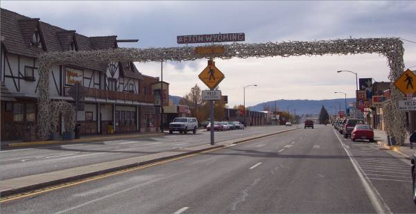
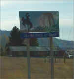
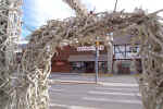
After re-entering Wyoming, I drove through the town
of Afton. I noticed an arch over the road, and soon learned it was the
World's Largest Elkhorn Arch!
|
Back in Wyoming. |
The Elkhorn arch!
|
A close look from the side of
the arch! |
I drove on to US Route 30, originally part of the Lincoln Highway further
east of here! Interestingly, I grew up two houses away from Route 30 in
Ohio!
As I was driving, I noticed several signs displaying information that a Mule
Deer migration trail went over the highway. The sign listed a radio frequency
for more information. It seems that between Kemmerer and Cokeville,
approximately 500 Mule Deer are killed by vehicle - deer collisions every
year! In a fifteen mile segment of the highway, I counted 13 dead
deer. It was not a pretty sight!
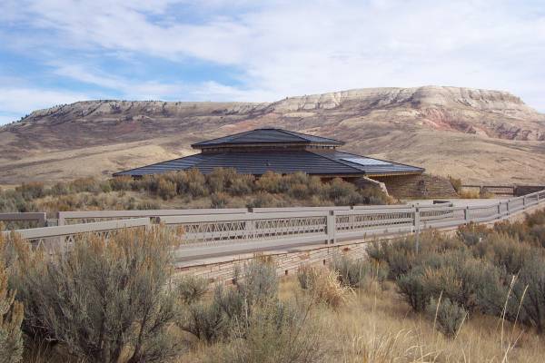
Finally I arrived at the Fossil Butte
National Monument. This is a preserved area formerly covered by Lake
Fossil. I stopped by the Visitor Center to meet with the ranger and pick
up information on the park. They also had two excellent videos that
discussed the history of the area, as well as how these fossils are retrieved
and researched. It seems this area provides some of the best fossils to study.
See the link at the beginning of the paragraph for more information.
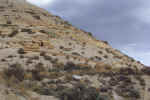
After my stop at the center, I drove the seven miles
up on of the buttes for a spectacular view of the region. This was
followed by a drive to a trailhead leading to a former commercial fossil
quarry. It was a good hike, and educational too.
|
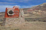
Entrance to the park. |
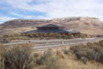
The Visitor's Center with a
butte in the background.
|
Looking north, the park road
partially visible.
|
|
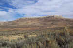
Another view of the butte behind
the Visitor's Center.
|
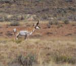
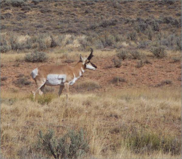
A pronghorn beside the road.
|
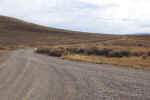
Another gravel road!
|
|
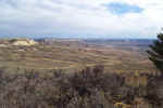
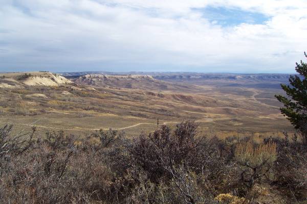
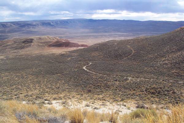
Looking back along the road
from the top off the butte. |
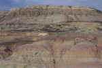
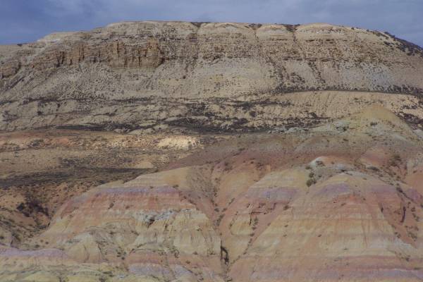
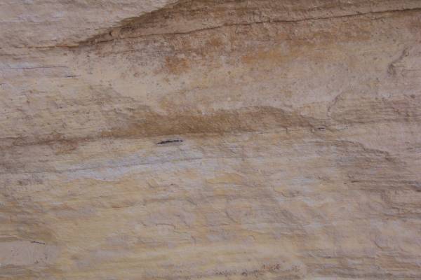
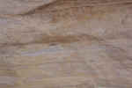
As I was driving to the
trailhead, I noticed the interesting colors in the butte.
|
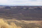
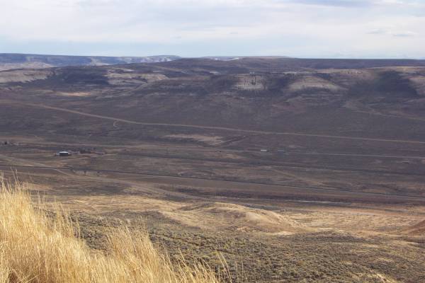
From near to top of the quarry
trail, the view to the southeast. |
|
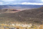
From the same point as before,
looking southwest. |
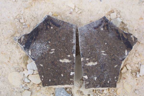
This is part of the quarry, where
the following two fossil pictures were taken.
|
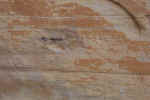
The dark region is where an animal
is fossilized between two layers of rock.
|
|
Another fossil in the rock.
|
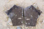
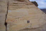
Near the top, I found this split
rock. You can see fossil remains along the top-outside edges as the
rock separated at the fossil level!
|
This pictures shows the trail
guide in the quarry area.
|
|
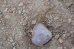
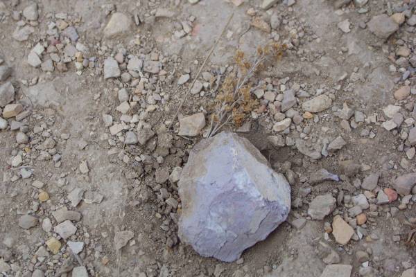
Walking back down the trail, I
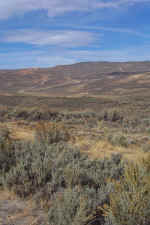
sow this interesting lavender rock. |
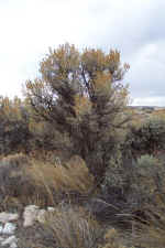
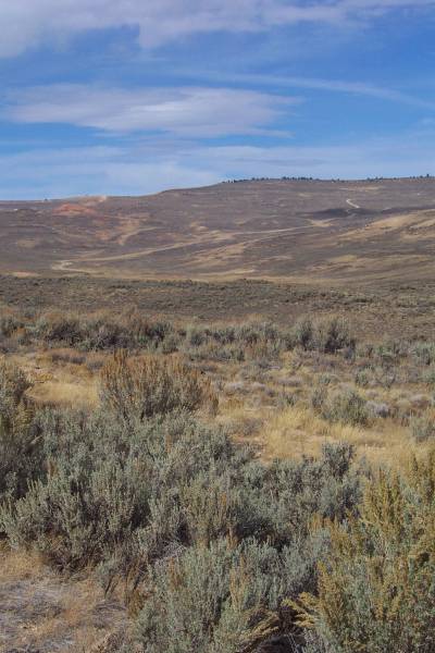
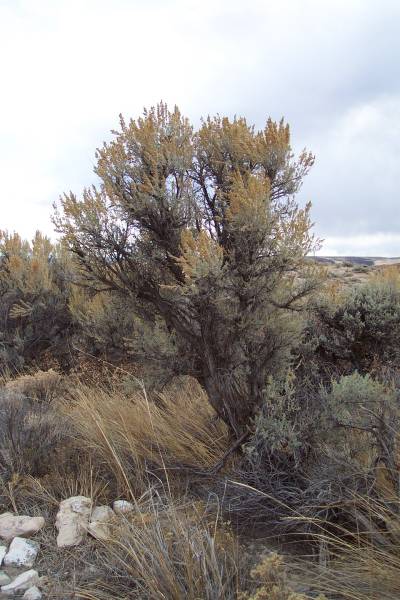
Some of the plant life along
the trail.
|
|
Monday morning I plan to drive through Utah into Idaho. I have added a
new stop suggested by the ranger at the park today. I will be visiting
City of Rocks National Reserve near Almo, Utah. The ranger said there are
great hiking trails, and that the area is good for rock climbing. May get
more information for my nephew Michael! Afterwards, I will head towards
Craters of the Moon National Monument. Thank you for visiting the page!
Routes traveled today: US 89 - Wyoming 22 - Idaho 33 - ID 31 - Wy 26 - US 89
- ID 61 - Wy 89 - US 30 - Wy 300 - Park Roads - Wy 300 - US 30
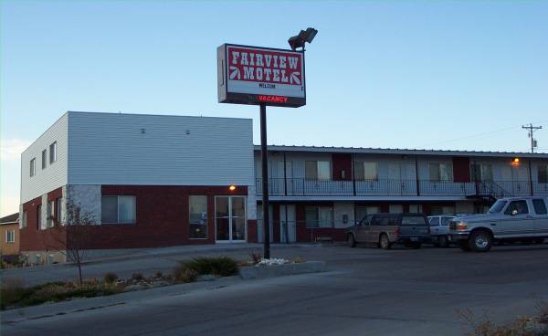
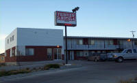
Lodging: Fairview Motel -

This page
accessed  times.
Page
created by: igorn@igorn.com
Copyright
© 2001 Igor N. Nikishin
All
Rights Reserved
Pictures
may be used with permission.