The casino
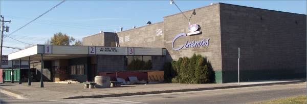
The marquee at a movie theatre being remodeled.
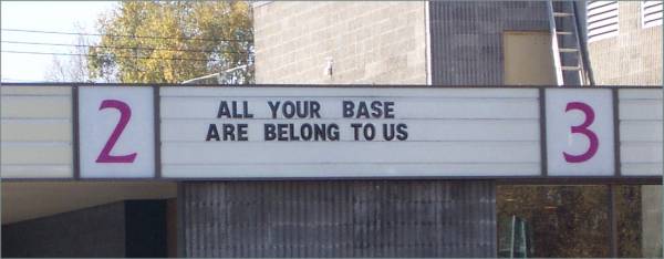
A closer look at the marquee (even in Prince George!)
Start time: 0945
Start odometer: 16490
Weather: The day started with clear blue skies with a temperature of 38 F.
Click on picture for larger image, hit back button to return to this page.
Hinton is a town of 10,000 that originally served as a railroad construction camp. In 1955, a paper mill was built, followed by the addition of coal mining operations and a lumber mill. The town also serves as a gateway to the Rocky Mountains, as the entrance to Jasper National Park is 29 km west. As is appropriate, the town has two ice arenas.
I drove and walk around Prince George to begin the day, stopping at the Post Office and grocery store. This is a nice city with a nice downtown shopping area. Some restaurants had outdoor seating, though the people were bundled up bit. I did note one problem. There are manufacturing plants north of town, and the wind was blowing south! There was a constant odor in town (no, it was not me!) Otherwise, it was a nice city.
|
The casino |
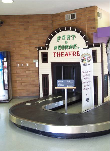
The marquee at a movie theatre being remodeled. |
A closer look at the marquee (even in Prince George!) |
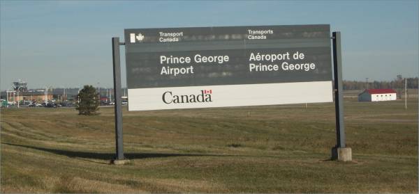
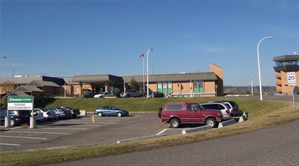
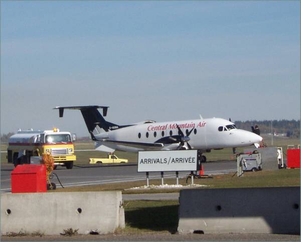
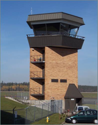
As I was leaving, I noticed the airport, so of course, I stopped by!
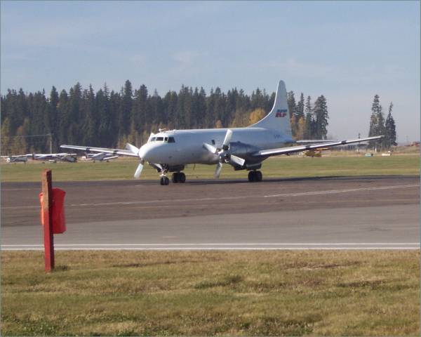
Some ground equipment for David! -

Another Beech for Gordon! -
This is the arriving baggage belt...
-
 ...And control tower. -
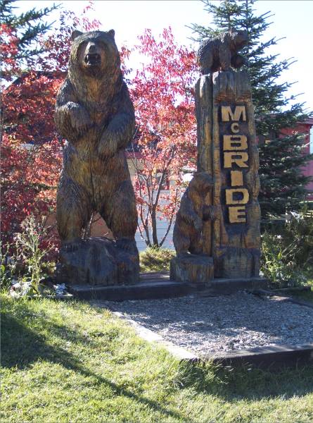
I continued along Canada Route 16, also known as the Yellowhead Highway. I knew most of the day would consist of driving, so I made a few stops to see some of the local color. My first visit was to McBride, B. C. This is another railroad town finding a place in the tourism industry.
|
The sign entering McBride |
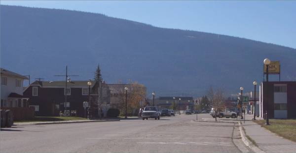
One of the streets in McBride. |
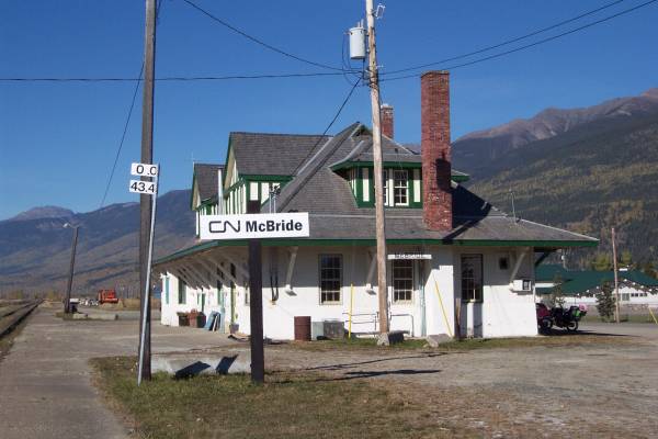
The train depot. |
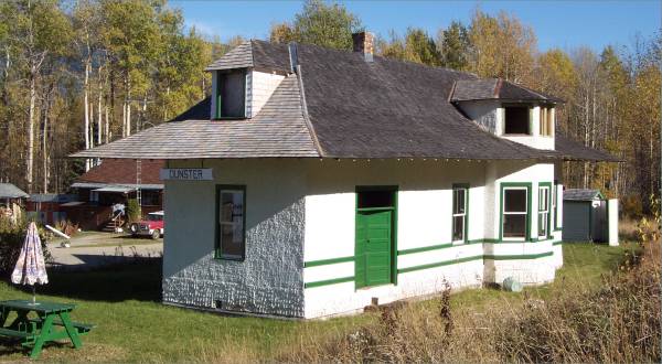
East of McBride is a smaller railroad town, Dunster,
|
The Dunster train Depot. |
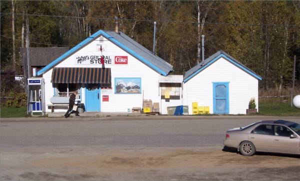
Hill's General Store |
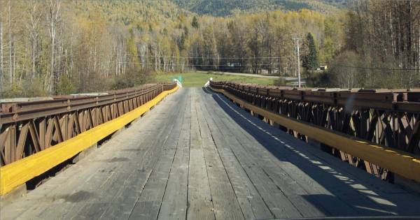
A one lane bridge outside of town. |
|
The bridge road bed is wood, |
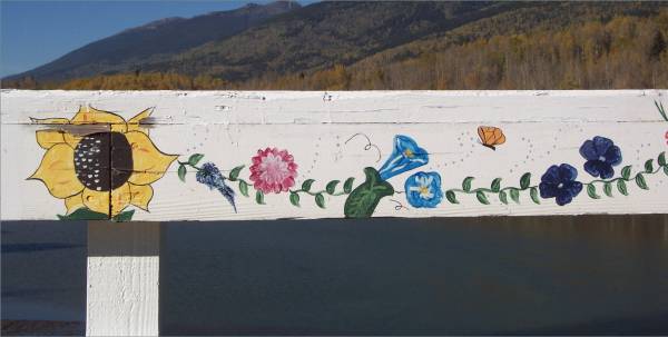
The inside strips of the bridge's white railing has been painted with flowers! |
|
Wildlife sighting - Another fox walking along the side of the road. This is the second day in a row for foxes!
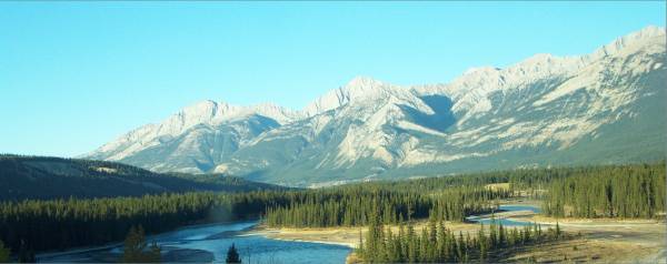
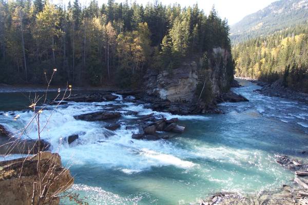
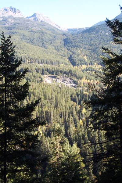
Heading east, I am once again amongst the Rocky Mountains. I am treated to more spectacular views, and waterfalls!
|
Along the road |
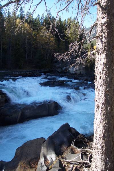
A short trail to Rearguard Falls, known as a good point to watch salmon jump up the waterfall. |
The salmon have already made their run for the year, so none were visible. |
|
Another view |
This is the view from the east end of the falls parking area. |
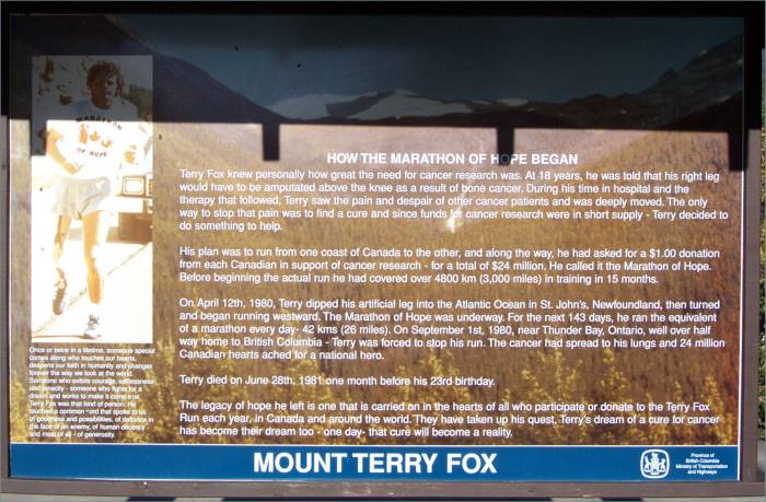
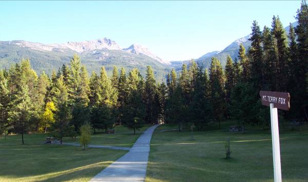
More driving to the east brought me to this area built in honor of Terry Fox. He was a cancer patient who in 1980, attempted to run across Canada on his artificial leg collecting donations for cancer research. Unfortunately, he did not make it, but millions of dollars in donations were received. A mountain was named in his honor.
|
The story of Terry Fox. |
The mountain named in his honor. |
Another view of Mount Terry Fox. |
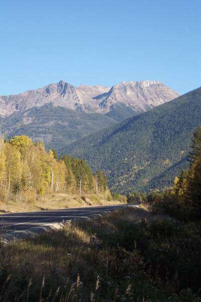
Still heading east, I passed through Mount Robson Park in British Columbia, which leads to Jasper National Park in Alberta.
|
Mount Robson, the highest point of the Rockies in Canada. |
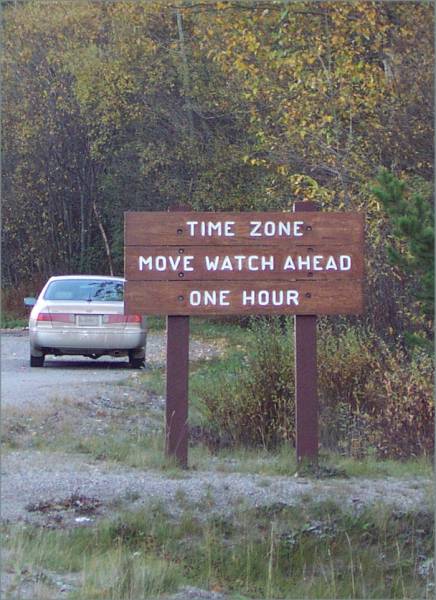
Another time zone change! I have lost count as to how many times I have changed time zones on this trip! |
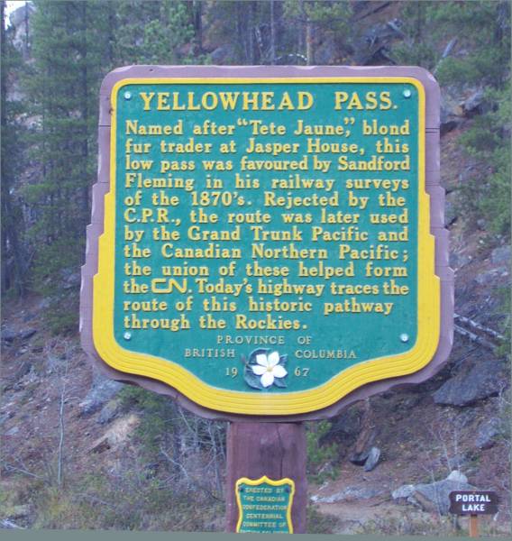
The story of Yellowhead Pass. |
|
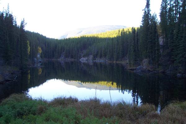
Portal Lake, on the border of B.C. and Alberta. Another great reflective pool! |
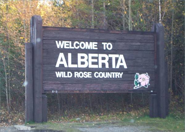
Back in Alberta! |
I continued east on Route 16, and pass just south of Jasper, Alberta. This is the point where I picked up Route 16 in August when I first visited Hinton. At that time, I turned north on Highway 40 just west of town, whereas tomorrow, I will continue east to Edmonton. Most of Route 16 between Jasper and Hinton is limited to 90 kilometers an hour. However, there are several portions where the limit is reduced to 70 km. This is due to the possibility of animals near the road. Today was no exception, as there were many animals including caribou, dall sheep, and deer. It was amazing how noise from the traffic and cars stopped along side did not scare them away.
Tomorrow, I intend on visiting two unique sights. First, I hope to see the West Edmonton Mall, the largest mall in the world with 800 shops, a water park, ice rink, and much more. Not a natural phenomenon, but it should be interesting to see. My second visit is the town of Vegreville, just east of Edmonton. There is a large Ukrainian community there, which should provide for some noteworthy experiences.
Thank you for looking at my story and pictures. Until next time...
Routes traveled today: Ca 16
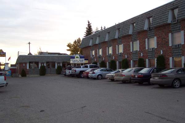
Hotel: Twin Pine Motor Inn -

This page
accessed
times.
Page created by: igorn@igorn.com
Copyright © 2001 Igor N. Nikishin
All Rights Reserved
Pictures may be used with permission.