I stopped by the NOAA NESDIS station north of Fairbanks. I got a very interesting tour of the facility from Erika, one of the supervisors on site. This dish was used by NASA for lunar communications during the Apollo moon landings.
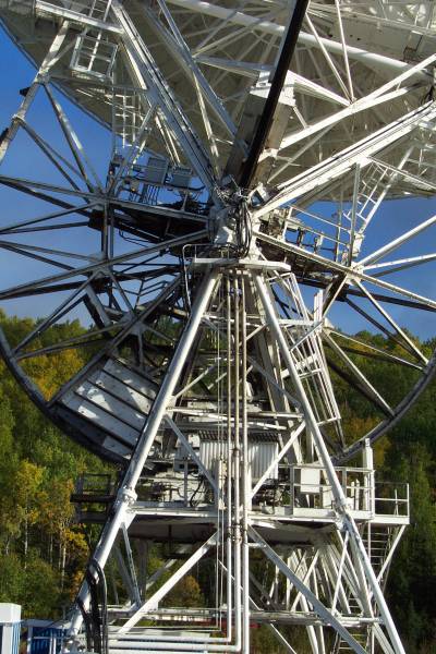
A close-up of the movement mechanics of the dish.
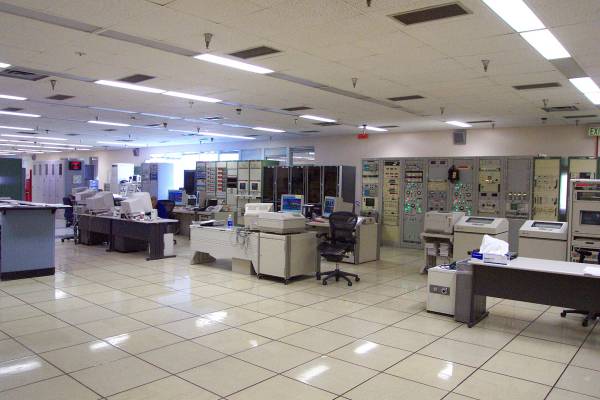
The communication facilities.
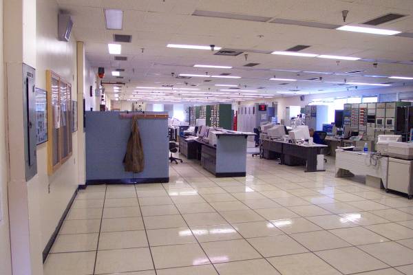
Another view of the main receiving room.
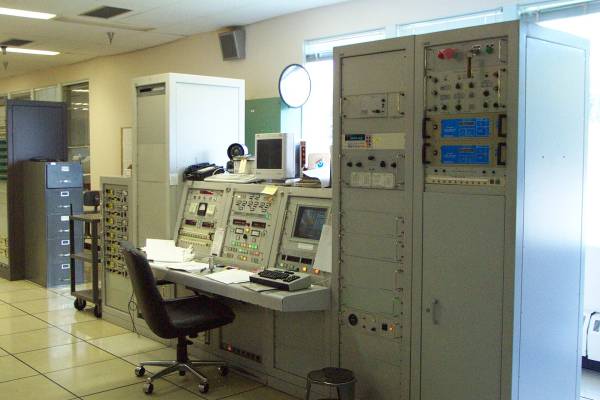
One of the operation stations.
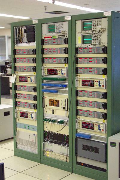
Bank of equipment.

You know I loved this place!
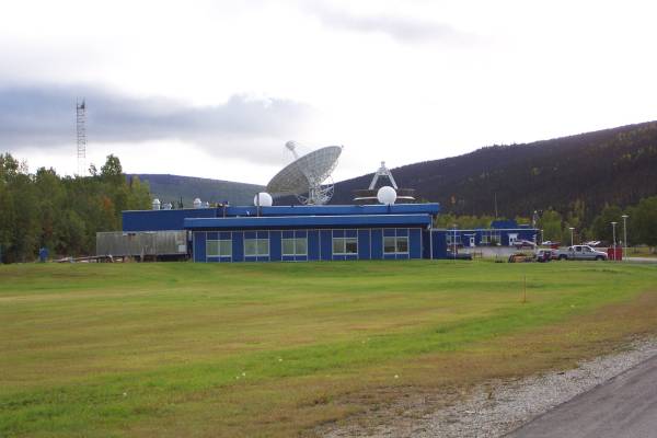
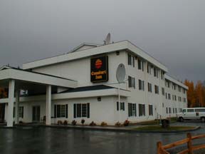
The exterior of the facility.
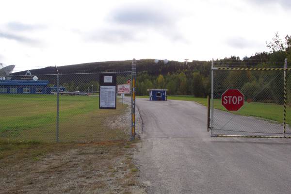
The entrance gate.

I really enjoyed this tour.
My next stop was at a gold mining site.

An old closed mine.
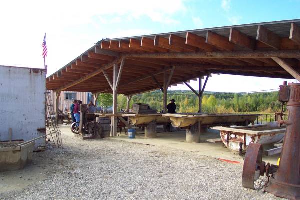
This is the current mining area.

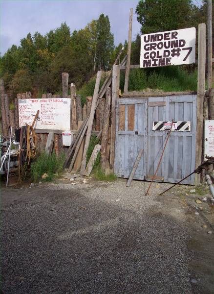
This is the initial tube to gain entry to the mine.
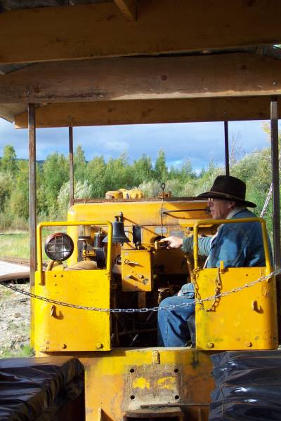
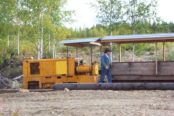
Part of the mine tour was to ride an old rail cart pulled by this engine.
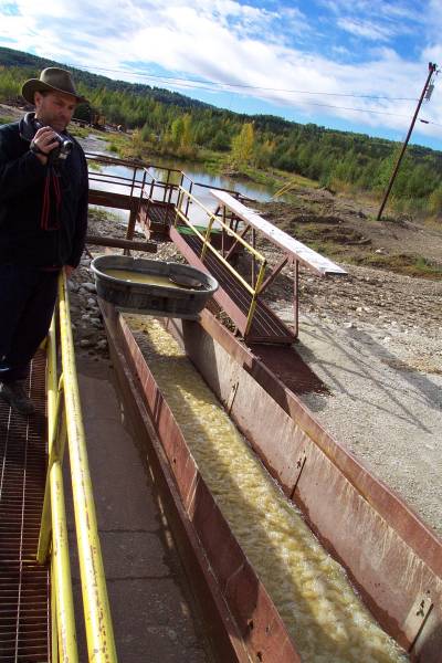
This sluice is used to find gold.
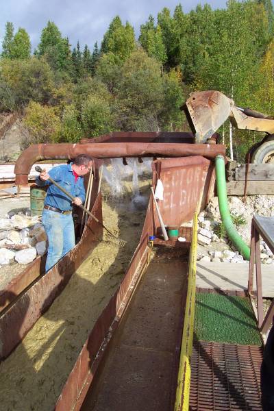
He loads dirt and rock into the bucket at the top.
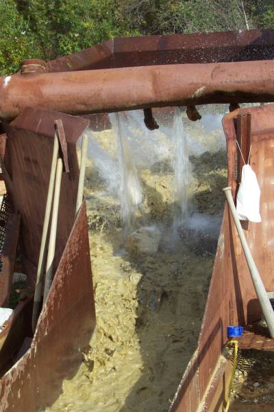
Water is pumped from a pond on site and washes the material in the sluice.
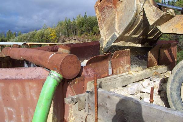
This is a close-up of the bucket loader and tank at the top of the sluice.
A piece of regular Astroturf placed in the sluice prior to washing the rocks and dirt collects smaller and heavier particles, while the light elements are washed out of the bottom of the sluice.
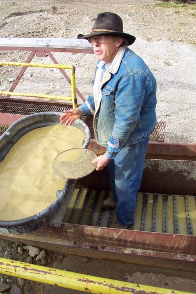
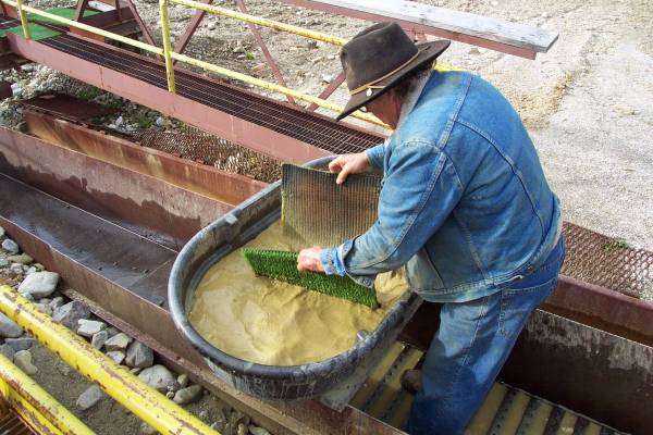
The particles washed off of the Astroturf are scooped with a pan.
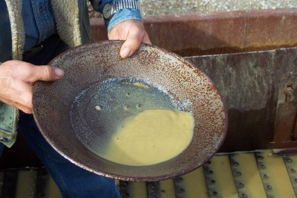
The pan is then worked to separate the gold from the remaining dirt. Here, the gold can be seen under his left thumb.
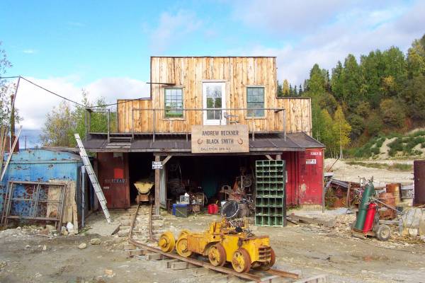
A blacksmith shop onsite.
This area is where the public can pan for gold using dirt from the gold mine. After having my collected gold assayed, I earned about eighteen dollars worth of gold! But this is really hard on your back.
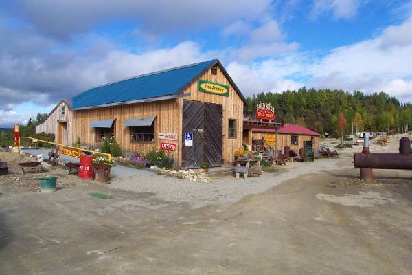
This is the main building at the gold panning attraction and mine.
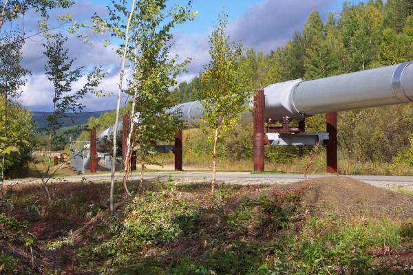
Heading back into Fairbanks, I stopped at an area with information about the Alyeska Pipeline.
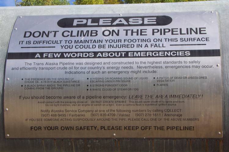
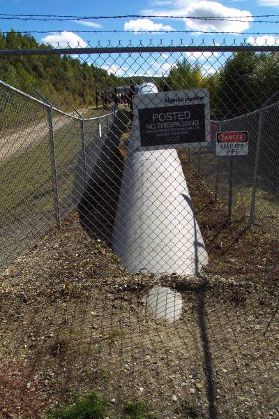
These signs were poster almost everywhere I saw the pipeline.

This panel explains the pig pictured in the next frame.
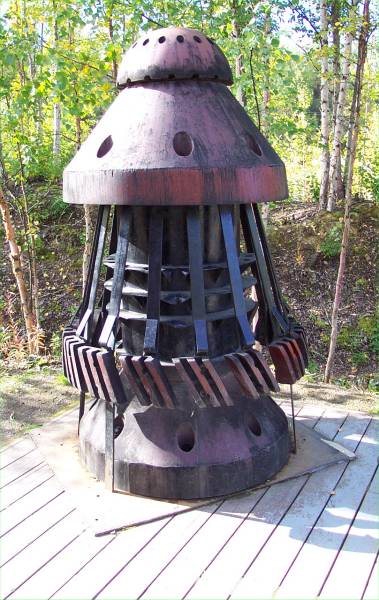
An old pig.
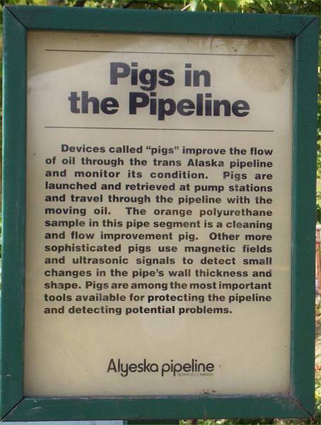
More about the pigs.

This is an example of a pig shown in a cutout pipeline.
The transition from below ground to above ground. This picture is taken facing south.
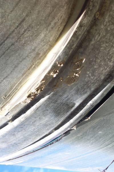
A really close look at the pipeline.

This is another look south at the transition.
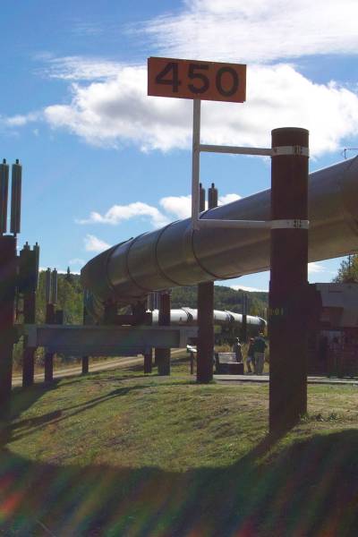
There are many ways the pipeline is marked. This point is 450 miles from the northern. The distance in feet are also posted.
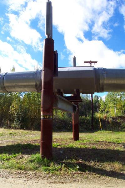
Here is one of the supports for the pipeline. As seen here, the distance in feet from the start is also posted. At the top of the vertical posts, radiators are used to help keep the ground cool and protect the permafrost.

This is the Pipeline Visitor Center.
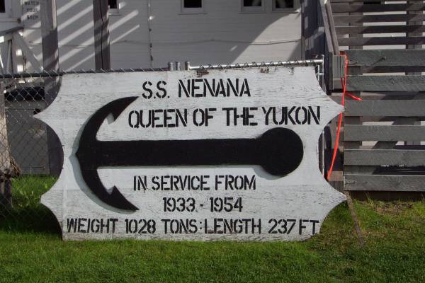
My next stop was at Alaskaland in Fairbanks. This is a park where many historical buildings and structures from the area are collected and displayed. Otherwise, the buildings might have been torn down. The S.S. Nenana in on display here.

This is the S.S. Nenana.
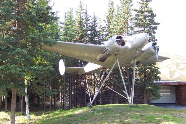
The Pioneer Air Museum was also in Alaskaland. However, it had been closed for the season.
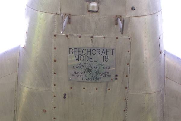
This is a look at the base of the C-45 seen in the previous picture.
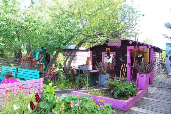
A few of the shops in Alaskaland were open for browsing.
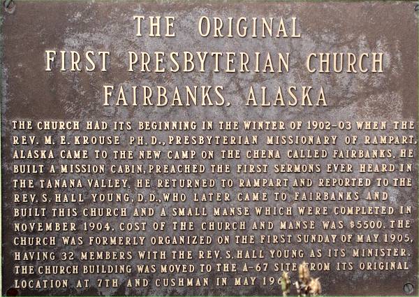
This plaque describes "The Original First Presbyterian Church" seen in the next picture.
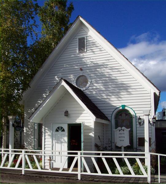
The church.