The walk along the Yukon River.
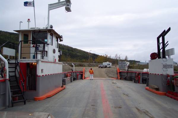
Looking towards the boarding ramp onto the George Black Ferry to cross the Yukon River.
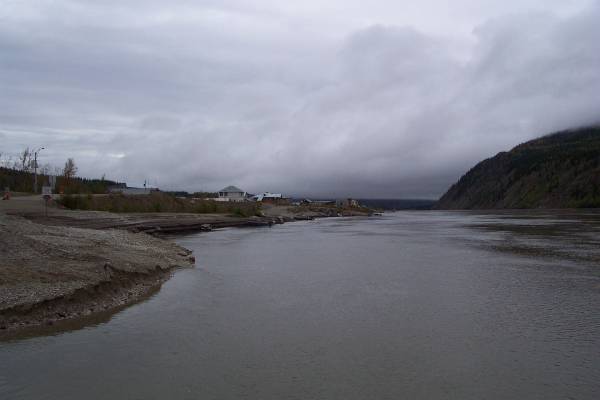
Looking downstream.

The bridge of the ferry.
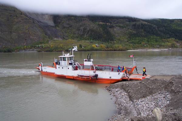
Another view of the George Black Ferry after driving off.
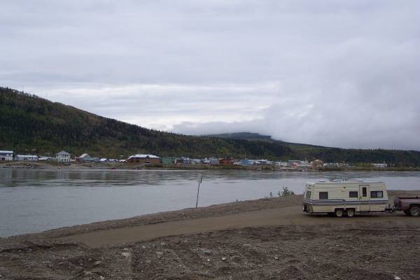
A look back at Dawson City across the Yukon River.
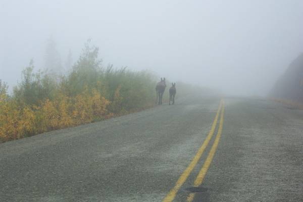
A couple of moose strolling through the fog.
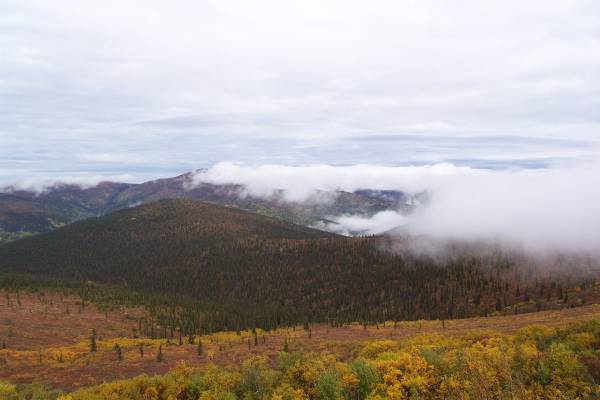
The fog provided interesting views along the Top of the World Highway.
This is to the right of the previous picture.
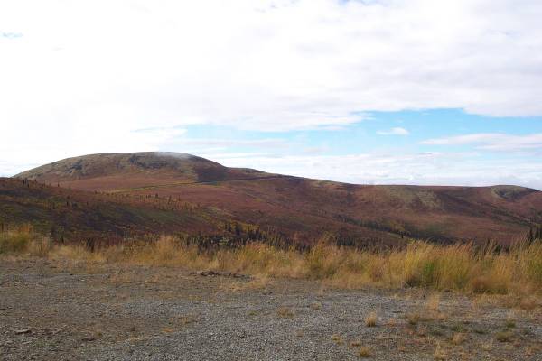
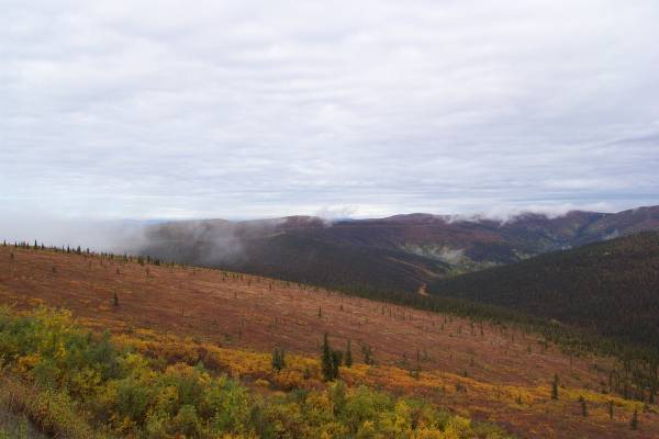
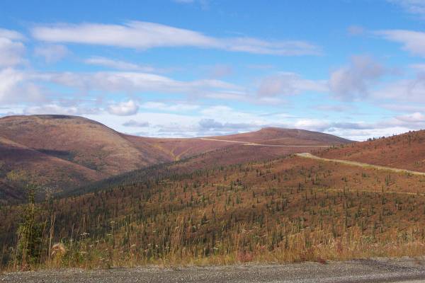
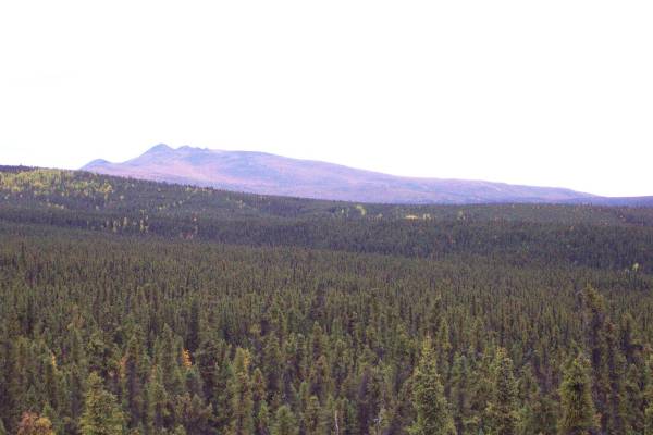
The Top of the World Highway can be seen cutting across the center-left of the view.
The clouds began to allow some sun through.

Looking ahead to the next portion of the highway.
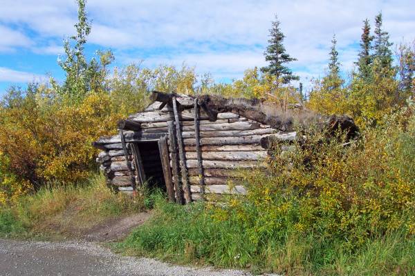
An old shack along the road.
The clouds continue to clear providing brighter views. This is the view opposite the shack.
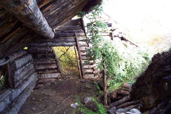
This is a look inside the shack.
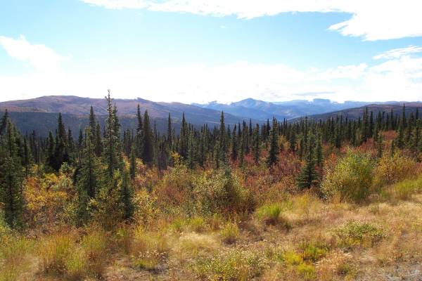
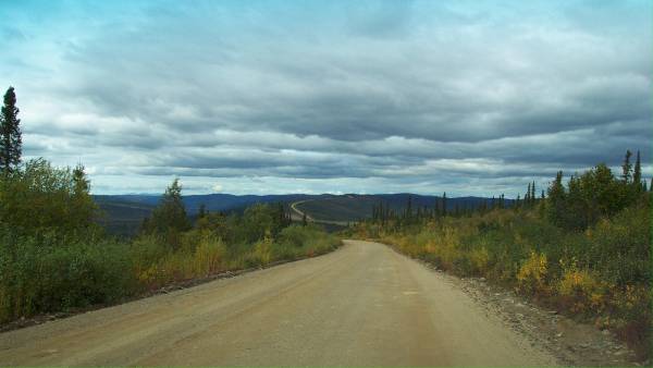
The Top of the World Highway winds its way along the ridges and mountains.
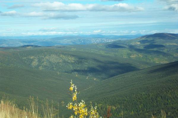
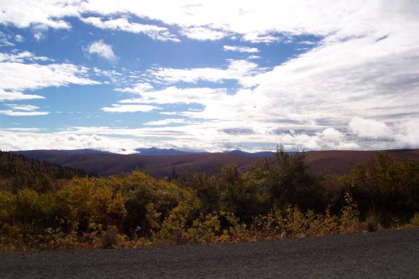
More wonderful scenery from the highway.

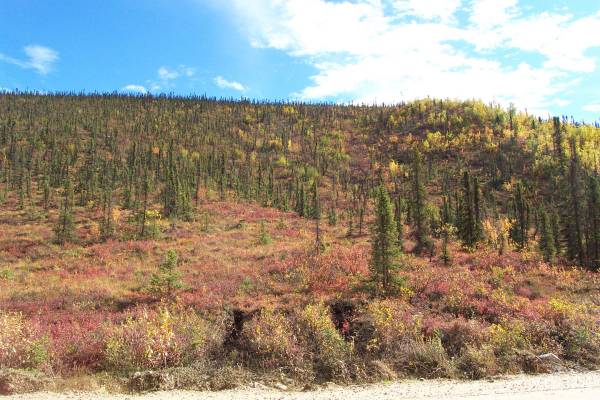
Interesting tundra colors.
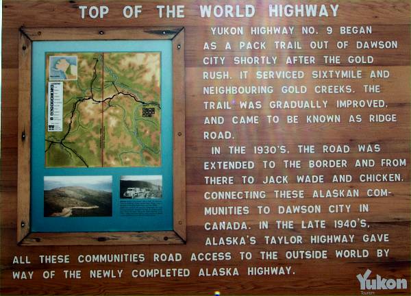
A quick history of the Top of the World Highway.
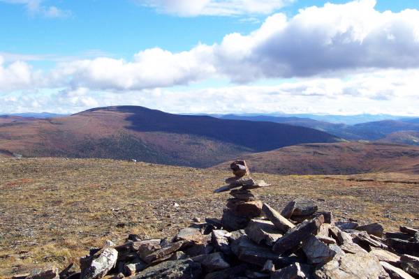
This cairn was built atop a mountain next to the highest point of the highway, reached after a short hike

Looking east, where I had been.
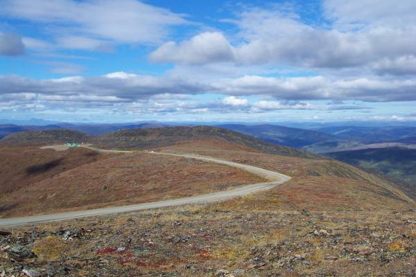
Looking west, where I am going. The building to the left is the shared Customs facility for both the United States and Canada.

My car from the trail.
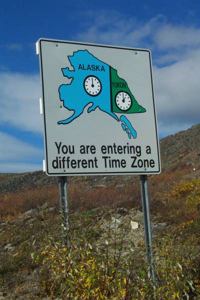
This sign indicates a new time zone, and will be my fourteenth time zone change!
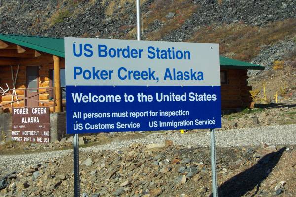
I am back in the Unites States!
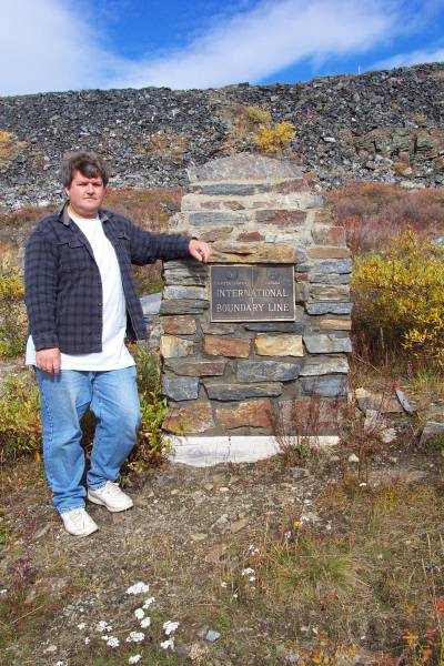
There were quite a few signs indicating the border. Here is an old boundary marker. U.S. left, Canada right.
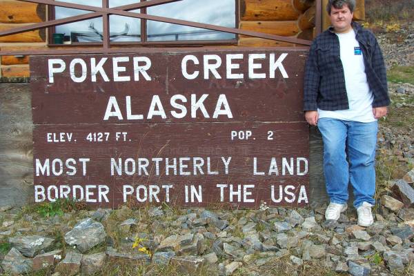
This sign indicates the population is at 2. However, during my conversation with Keith, the Customs officer, he indicated that with their new dog, it should be three!
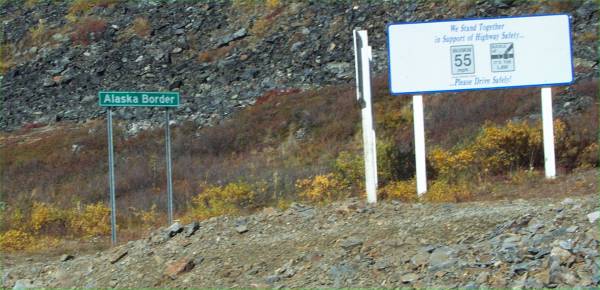
Another Alaska border sign.
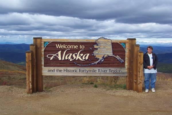
One last "Welcome to Alaska" signpost
The Alaska portion of the Top of the World Highway heading west.
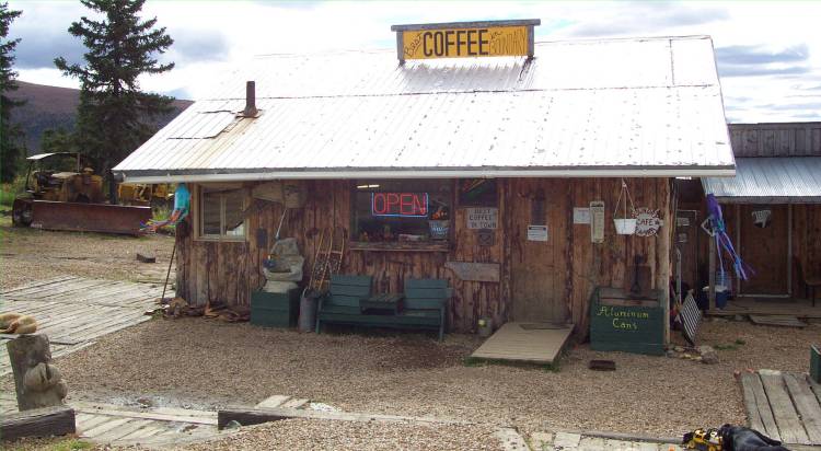
This is Tony's Boundary Lodge in Boundary, Alaska.
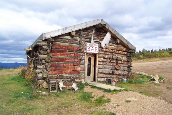
An old bar
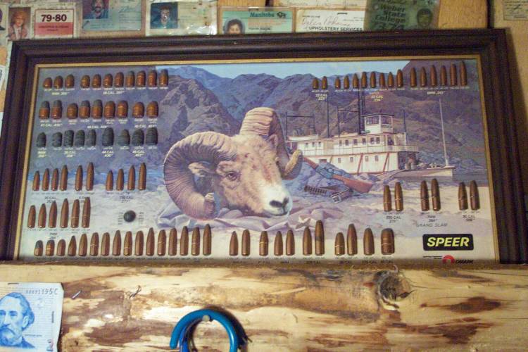
Tony had this bullet display on his wall.
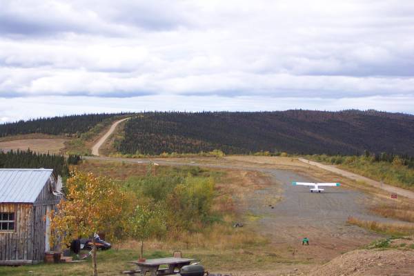
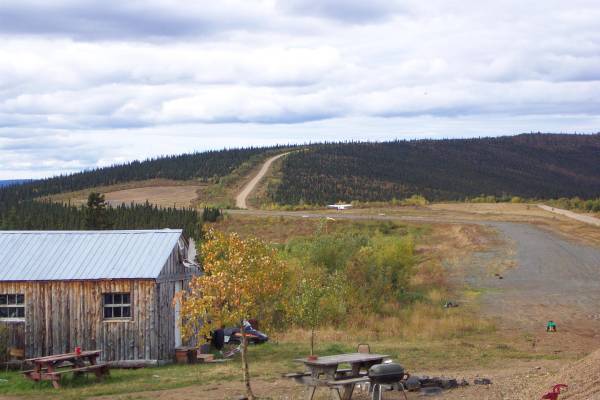
An airplane was preparing for take-off. The runway ran parallel to the road.
The aircraft takes off.

A view from the driver's seat.
Fall colours were presenting themselves along the Taylor Highway.
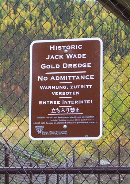
The Jack Wade Gold Dredge was right next to the road.
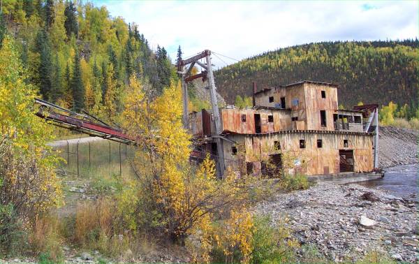
The dredge, with the Taylor Highway to the left.
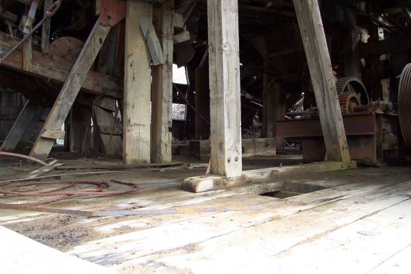
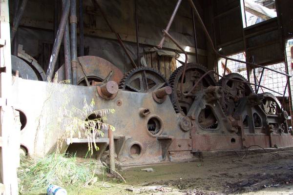
I took two pictures inside the dredge.

More beautiful views along the road.

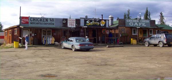
This is a view of one section of Chicken, Alaska. (The website has chickens that follow your mouse!)

A dredge in Chicken.
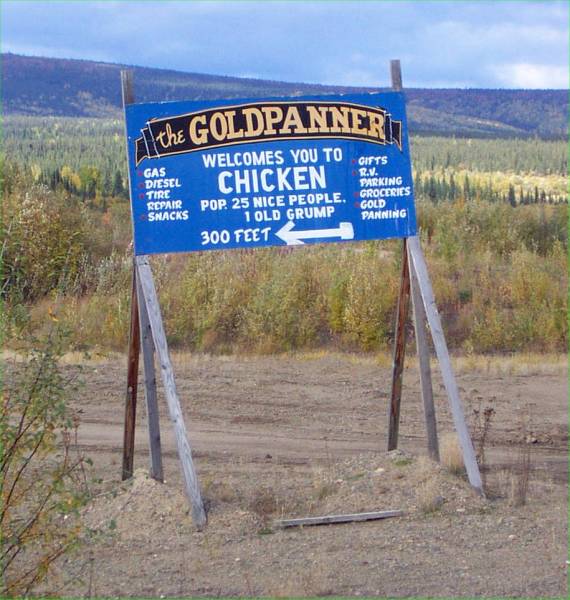
I enjoy the signs towns post at their entrance.
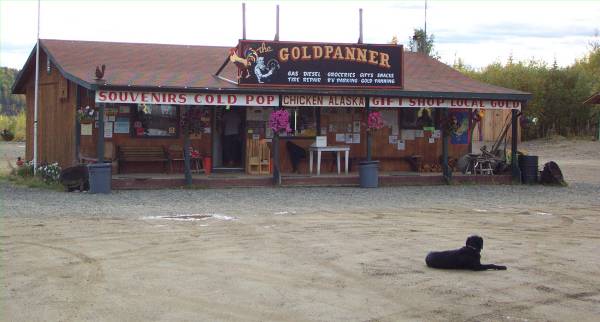
One of several gift shops in Chicken.
This building was in the same parking area as the previous shop.
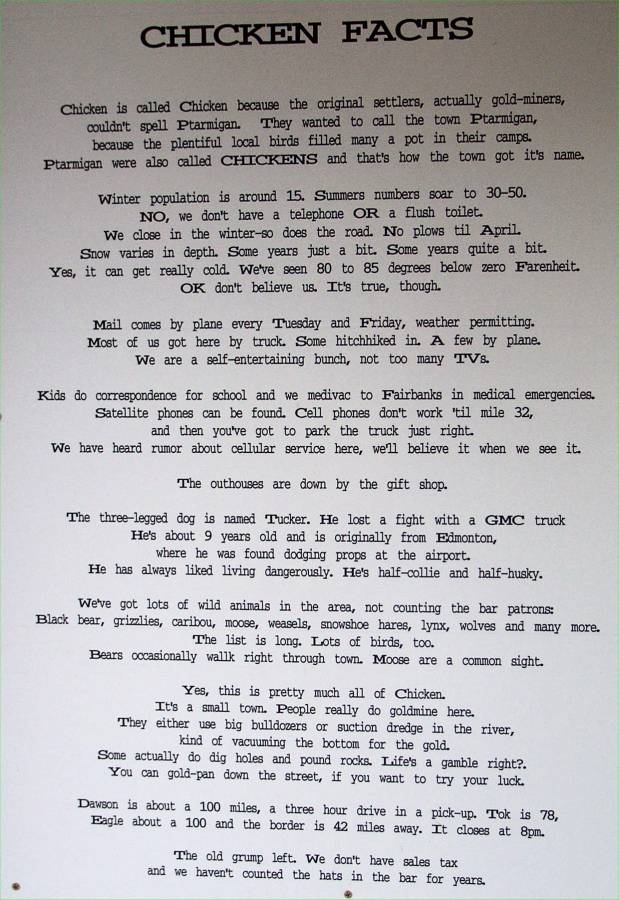
"Chicken Facts"
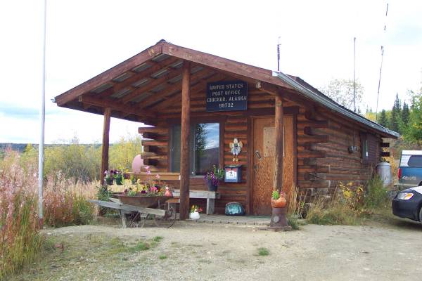
The Chicken Post Office.

Information about the Taylor Highway.
One more view from the Taylor.