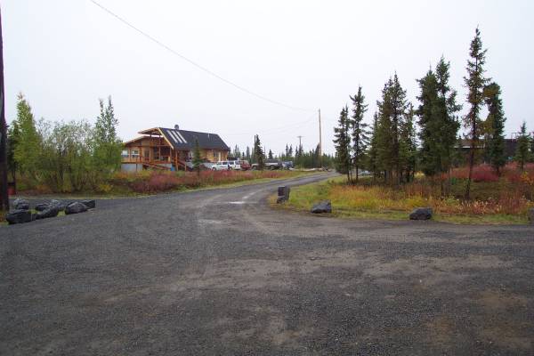
The view from my car, looking towards the exit of the B&B.

One final look at the canoe I took onto this lake last night.

I thought about my friends in the tower at US Airways and took this picture. The reason?
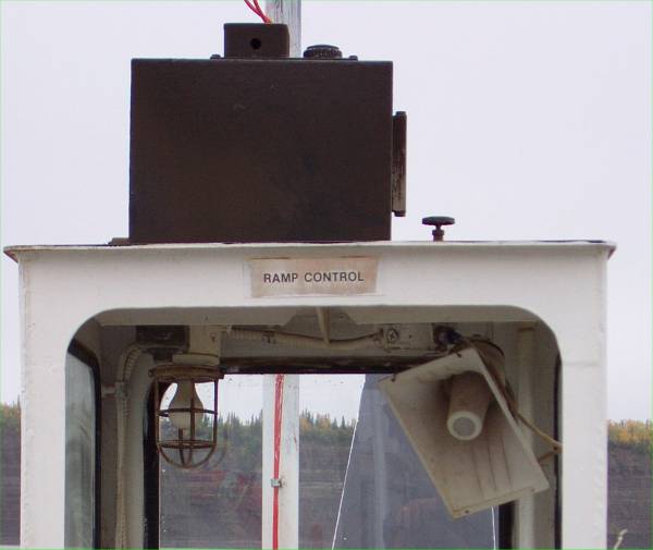
...This close-up shows why... "Ramp Control"!

Well, not quite the same kind of ramp!
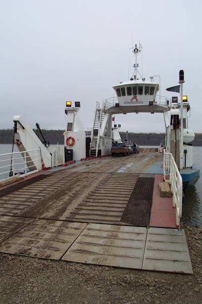
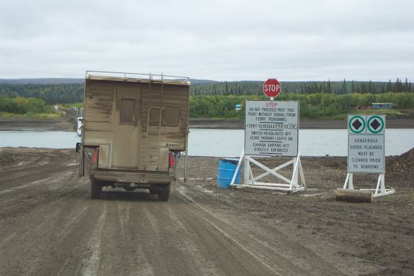
The Arctic Red River ferry.
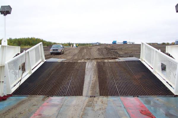
This is a picture of the barge I mentioned above.
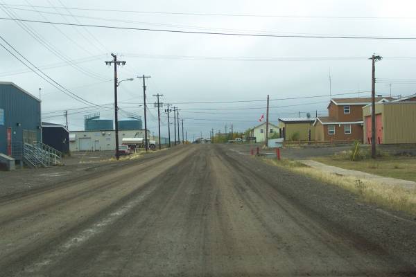
I decided to take a drive into Fort McPherson, a community of 900.
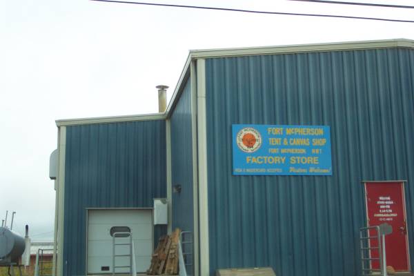
The Fort McPherson Tent and Canvas factory and store

The Francis J. Francis Curling Rink in Fort McPherson.
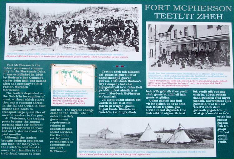
A short history of Fort McPherson.

The Johnny D. Charlie Visitor Centre had interesting display about the region. A dipole is hanging above the building.
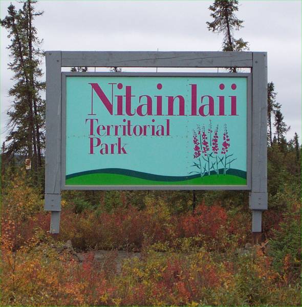
The entrance sign to the Nitainlaii Territorial Park.

Parked at the Visitor Centre. It was very muddy there.
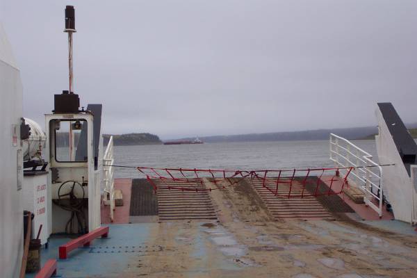
Waiting for the Mackenzie River ferry.
Looking at where I had been.
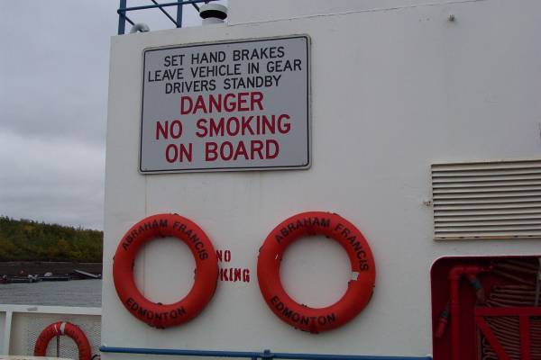
the Abraham Francis of Edmonton.

This shows how the cable that crosses the river enters the boat.
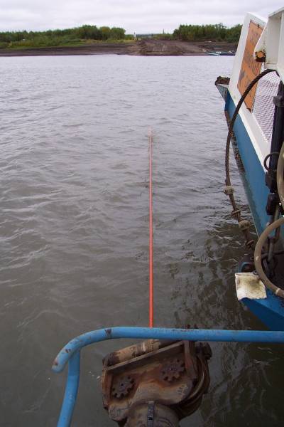
Another view of the cable.
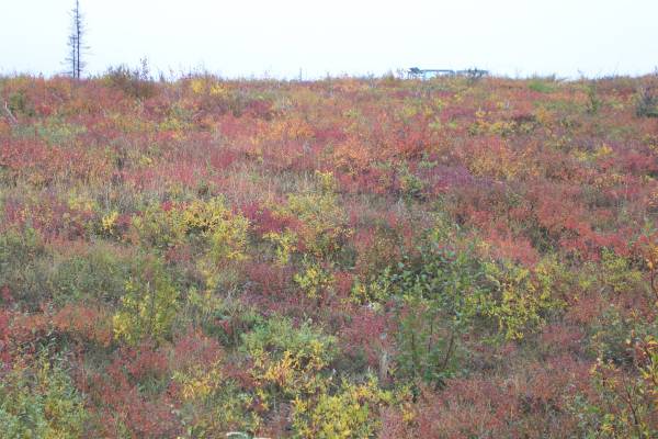
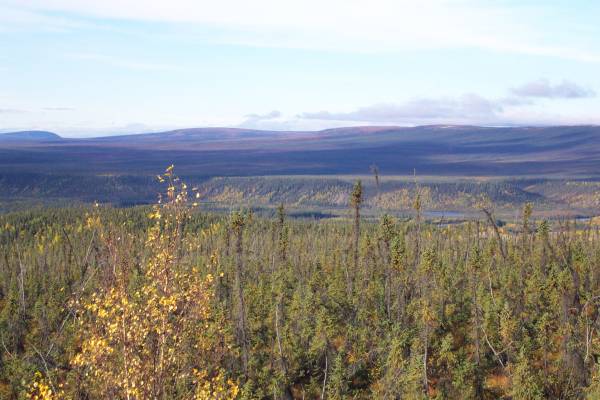
The beautiful colors of the tundra.

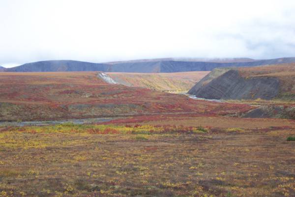
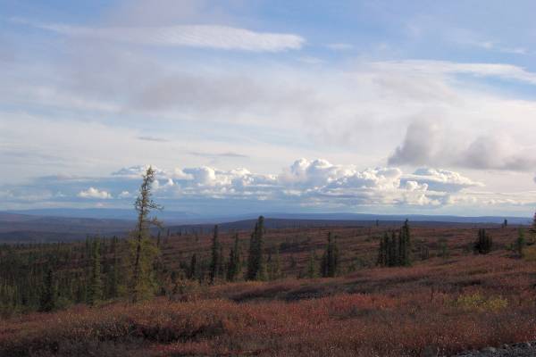
I really enjoyed the varied landscape of the Dempster Highway!
Even in the fog, the colours were impressive.
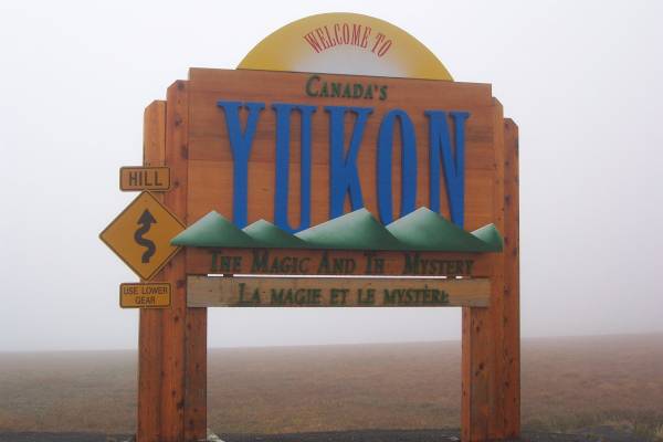
Good-bye NWT, as I return to the Yukon Territory.

Just a bit muddy!
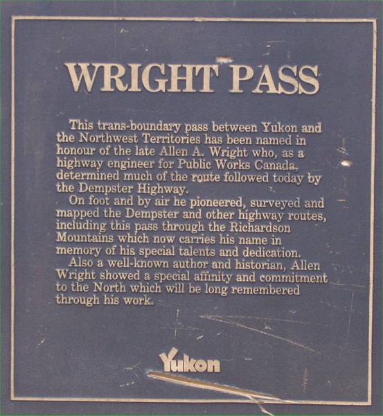
Wright Pass along the Dempster.
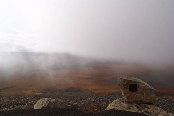
This is the stone where the plaque in the previous picture is mounted. The fog is beginning to thin. It was so peaceful there.

Looking back at the fog bank where I was earlier, and Wright Pass.
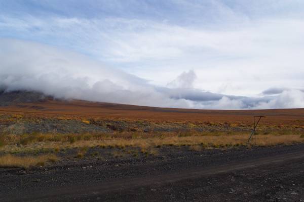
Looking eastward from the road.
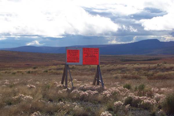
Signs prohibiting hunting within a safe zone along the road.

Beautiful endless views!
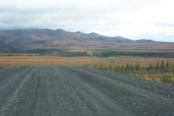
the road can be seen for quite a distance.
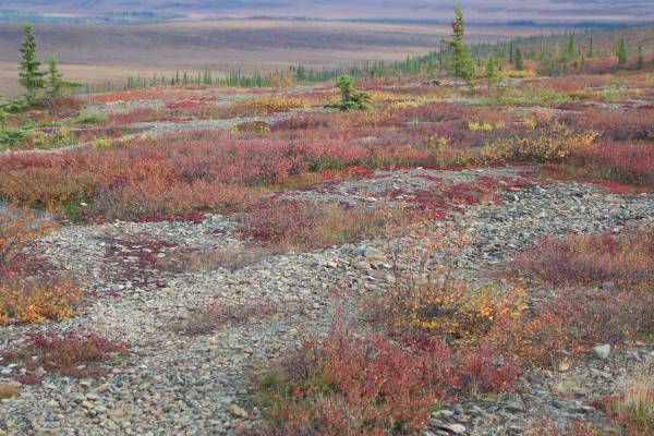
An example of the beautiful fall tundra colours.
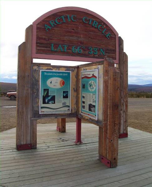
Back to the Arctic Circle!
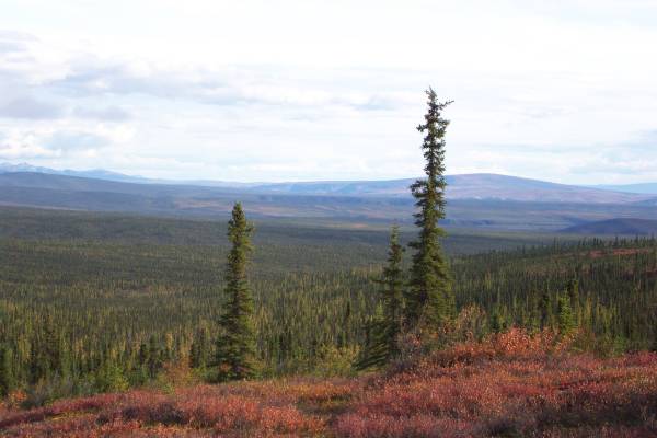
The next few pictures show some of the spectacular scenery along the Dempster.
Everywhere you looked, there was a remarkable view!
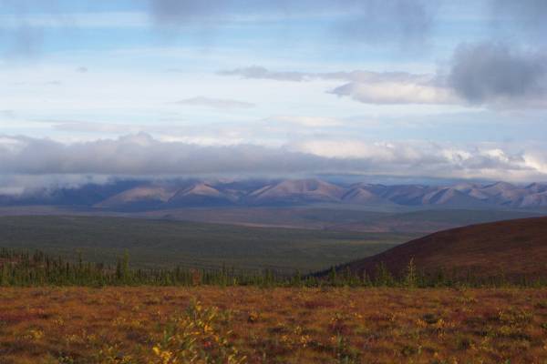
Some of the Richardson Range in the distance.
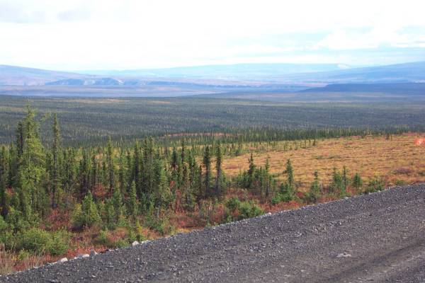
Note the road surface.
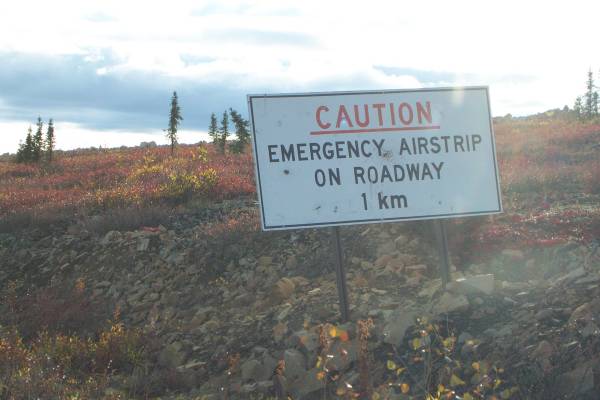
Back through the airstrip!
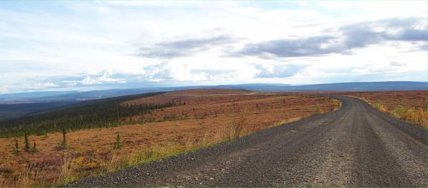
The road curves along the ridge.
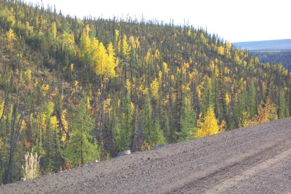
Many more yellows in this section.
One last shot before camp.

