The Whitehorse Fishway, which was at teh hydroelectric dam I visited before departing Whitehorse.
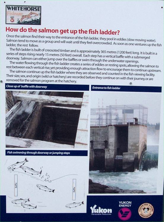
This panel describes how the salmon get up the fish ladder.
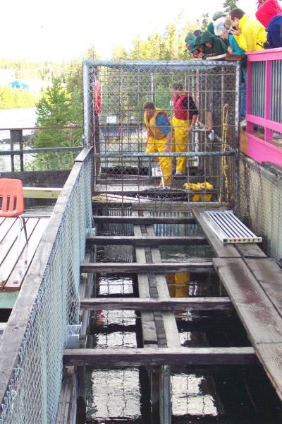
This is an area at the top of the fish ladder where the hatchery employees count the salmon, or capture the females to harvest their eggs.
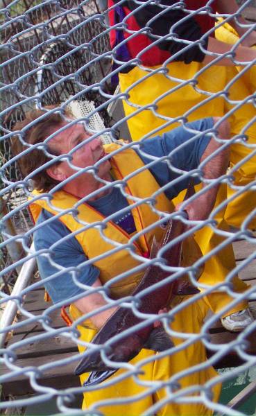
This gentleman, while holding a nice size salmon, explains some of what they do.
Looking upstream to the north.

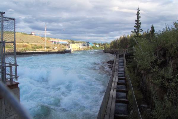
A closer look at the facility and the fish ladder, as well as the posts used as a course for kayakers.

Looking back towards the dam.
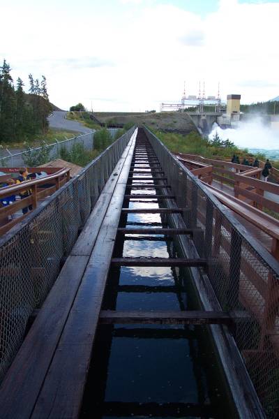
Another view of a portion of the fish ladder.
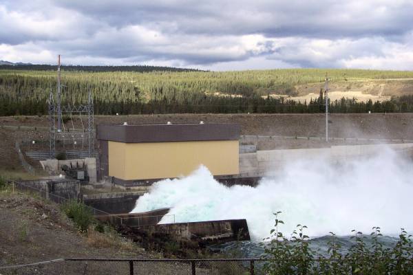
The water as it exits the dam.

The course posts can be seen better in this shot.
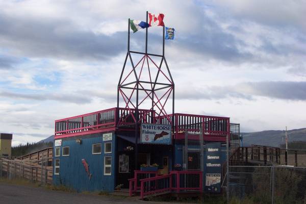
The Whitehorse Fishway 3 Visitor Center.
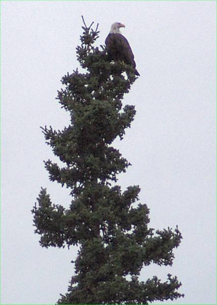
My first sighting on this trip of a bald eagle!

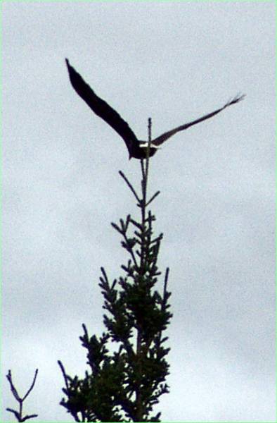
Two more views of the bald eagle as he flies off.
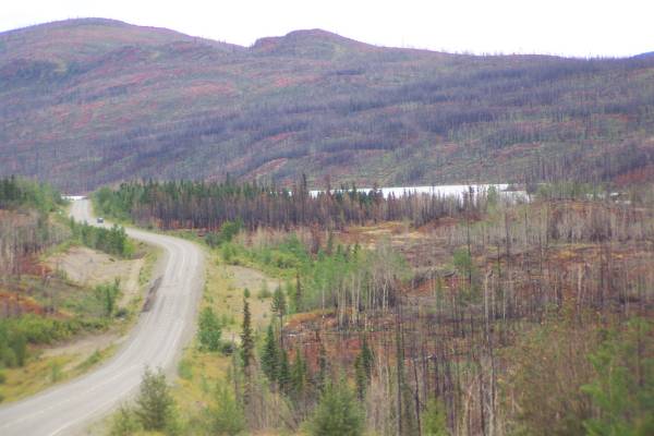
Scars from a huge forest fire in 1998 can be seen throughout this area along the Klondike Highway south of Carmacks.

More fire damage, but still beautiful scenery along the road.
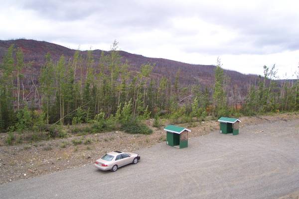
A rest stop!
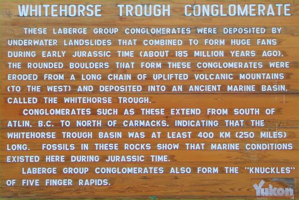
This panel describes the rock in the next picture.
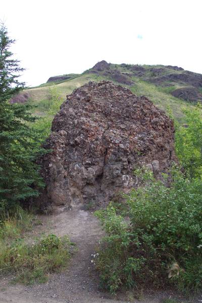
One of the conglomerates mentioned in the previous panel.

The conglomerates were rather large, such as this one seen next to my car.

This roadhouse was used by travelers along the road many years ago.
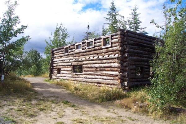
Exterior of the Montague Roadhouse and...
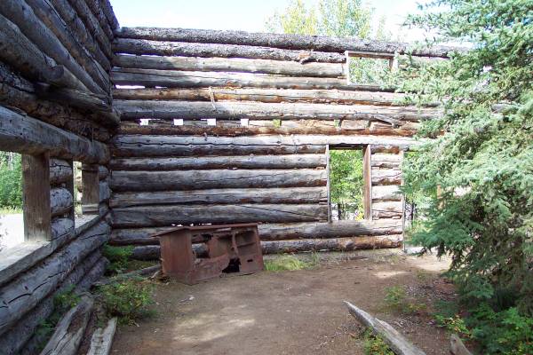
...The interior
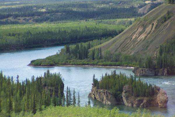
A close up of Five Finger Rapids in the Yukon River
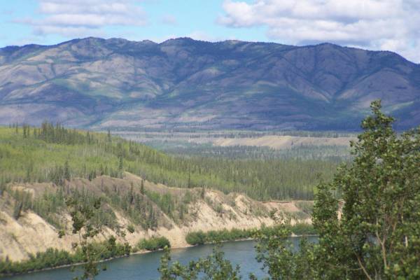
From the same parking area, this was the wonderful view towards the north.
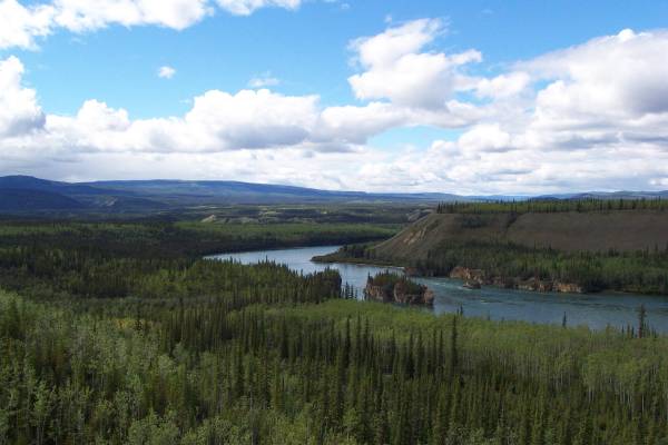
Another look at Five Finger Rapids, with the surrounding scenery.
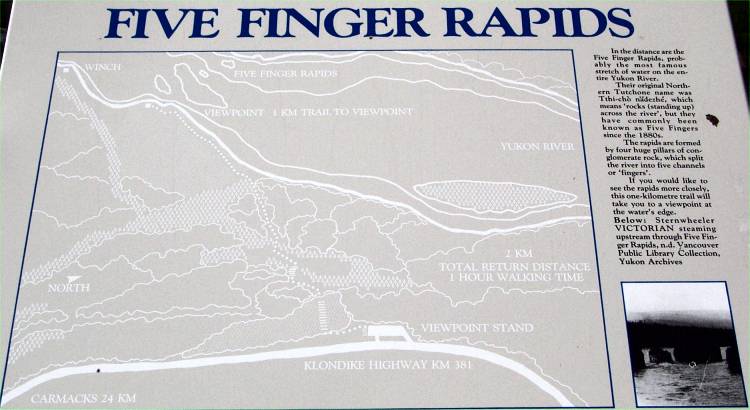
Information about Five Finger Rapids.

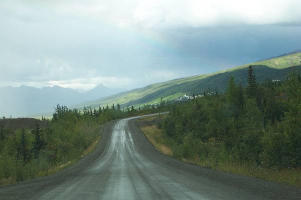
Very pretty scenery along the road.

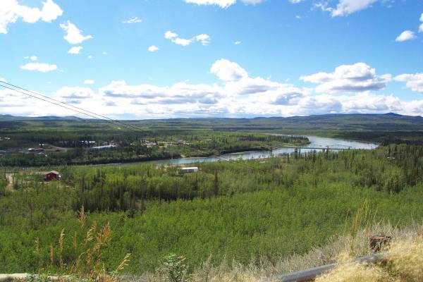
The beautiful Pelly River!

Information about the Pelly River.
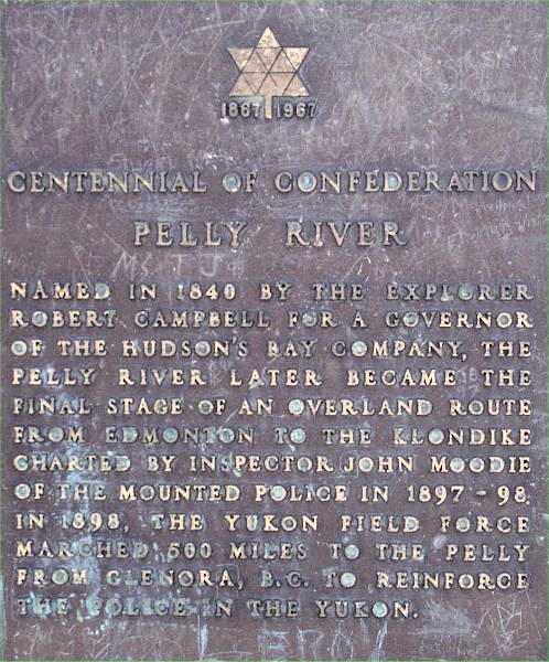
A plaque describing some of the history of the Pelly River.
A view of Carmacks, British Columbia.

Though the sky was ominous, and the gravel road was muddy, I still wanted to take the "Silver Trail" and see Keno City!
The town of Elsa can be seen in the distance.
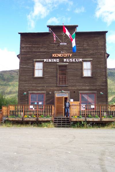
This is the Keno City Museum, with Mike, who was working this day, standing in front. This building had served many uses before becoming a museum.

A very small church in the town of Keno City.

Preparing for winter, as it gets very cold
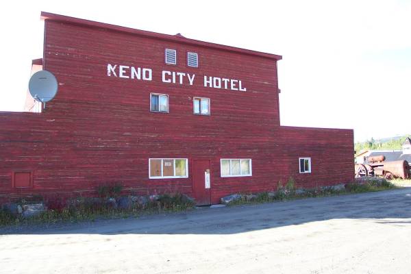
The Keno City Hotel was not open at the time of my visit.
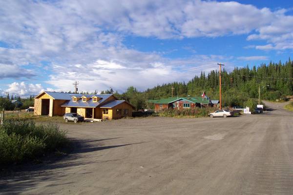
The main intersection of town. Beyond my car is the pizza shop.
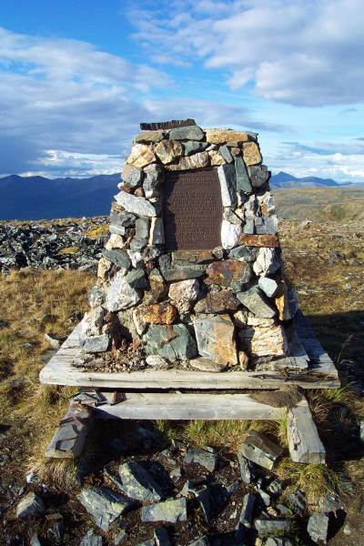
After driving to the top of Keno Hill, I found this monument dedicated to a local miner.
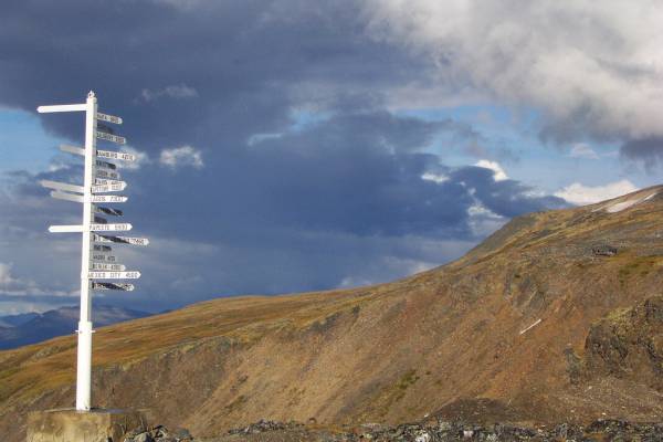
The views from this peak were incredible!. There was an interesting signpost at the top.
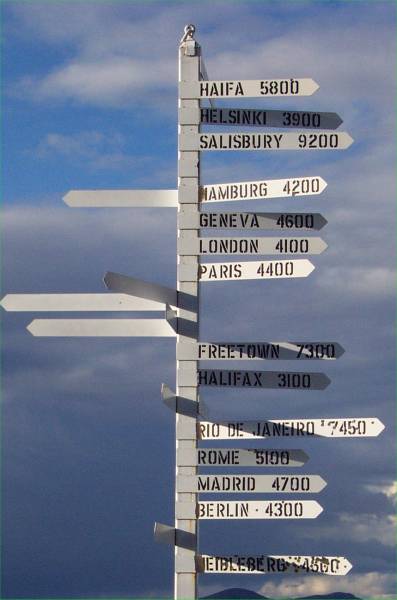
Some of the cities represented on the signpost.

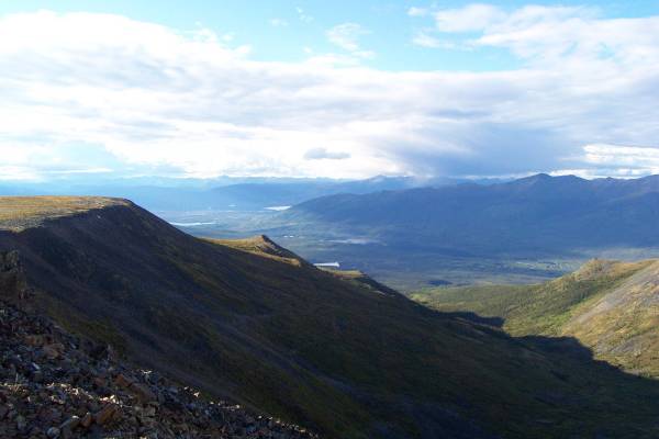
Looking northwest from the top of Keno Hill.
A closer look towards the west.
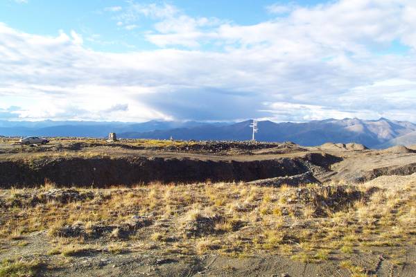
A portion of the summit area.
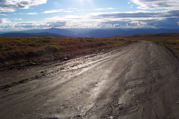
The dirt road at the top of the hill.
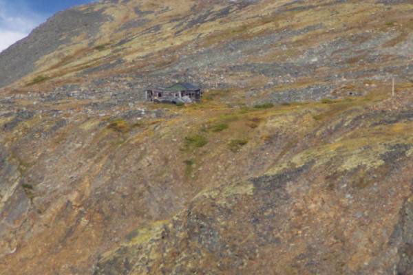
I saw this old miner's shack off in the distance.

Rain can be seen falling in the valley to the southwest.
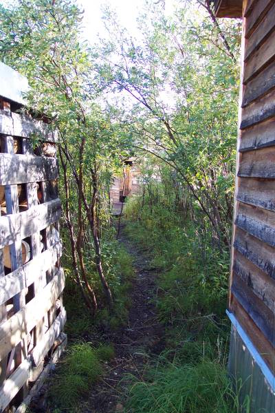
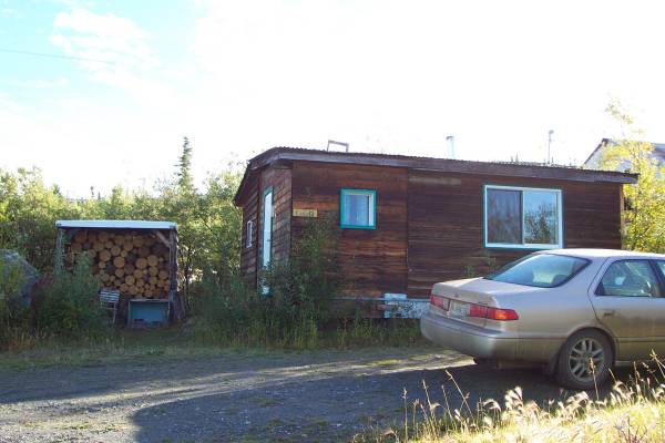
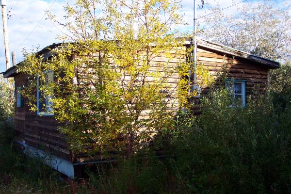
At my cabin, this was the path to...
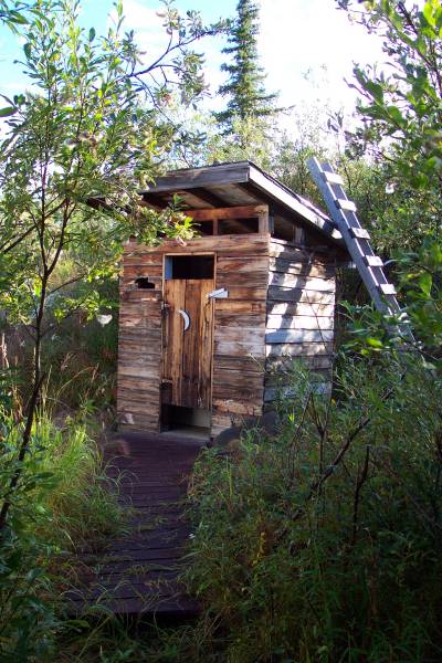
...My very own outhouse!