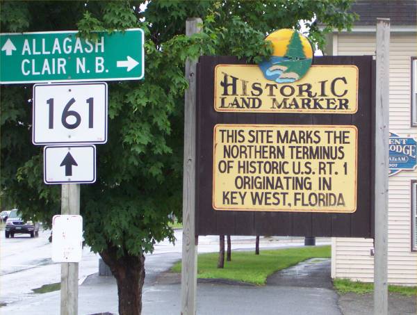
In Fort Kent, this signs indicates the northern terminus of Route 1.
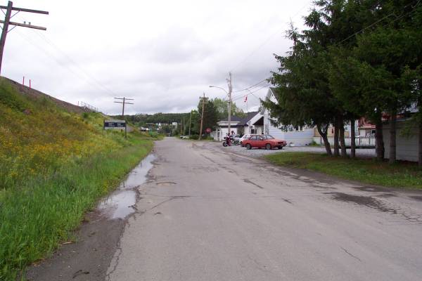
This road runs near the border near the northernmost point of Maine. This portion of the road is in Quebec.
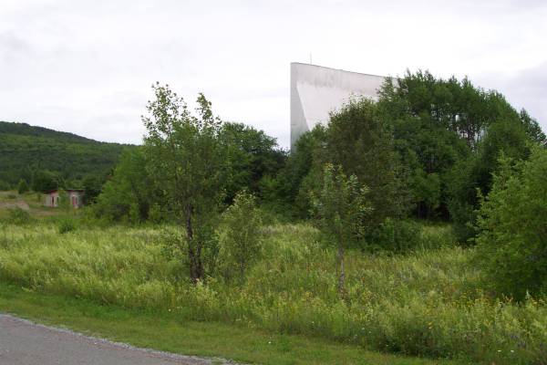
There was an old drive-in theater off the side of the road.
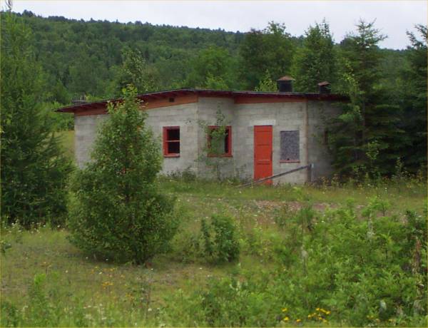
Close look at the projection booth (and snack bar?)
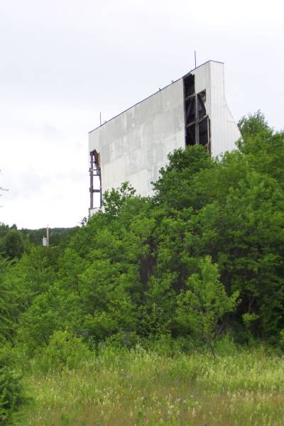
Much of the screen remains.
The border area.
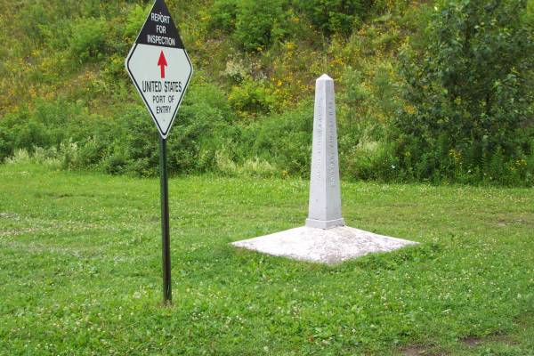
This is the first of MANY Canadian - USA border markers I will see on the trip!

This is the area where the northern most point of Maine resides.

This allows for a height reference of the marker.
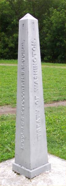
A closer look reveals the text and treaty referenced.

The other two panels of the marker.

Looking somewhat to the east, Canada is left, and the U. S. is to the right. A line following the border was also painted on the road.
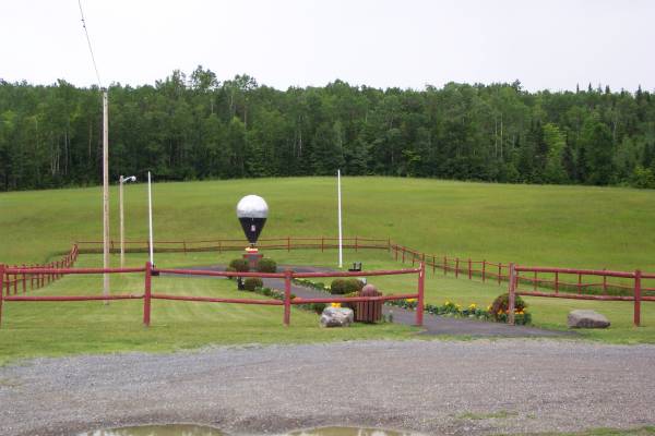
Heading south along Route 1, I found a sign that led me to the launching site of the first successful transatlantic balloon crossing.

This stone indicates the name of the park, in honor of one of the crewmembers.

This walkway leads to the point of departure.
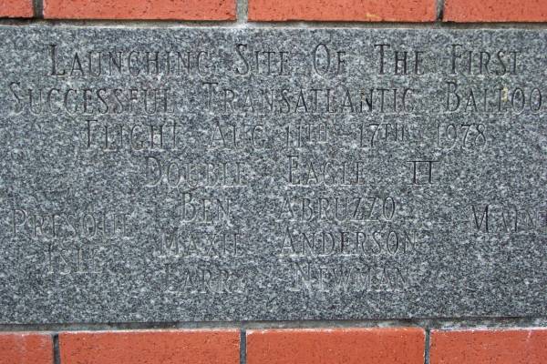
A plaque at the site.
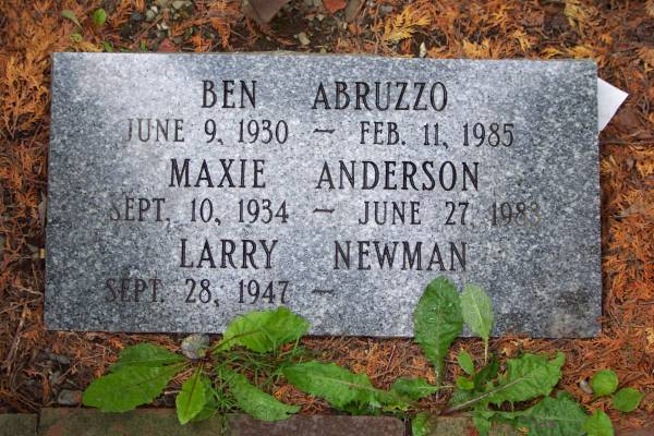
A plaque honoring the three men that crossed the Atlantic.
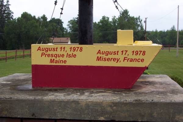
A close up of the center of the monument.
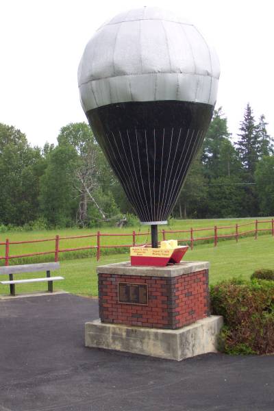
The monument from the back.

A wonderful view along route 1 in eastern Maine.
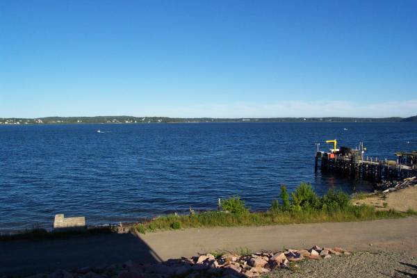
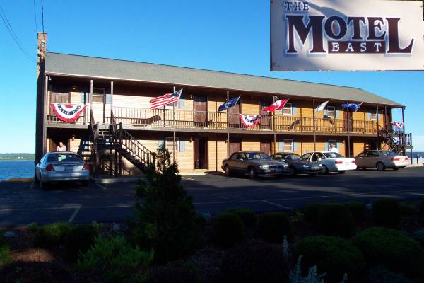
In Eastport, looking out from the balcony of my motel room.